Agricultural Irrigated Land and Irrigation Water Use in Utah
This article is a summary of several estimates of the extent of agricultural irrigation in Utah and some associated trends.
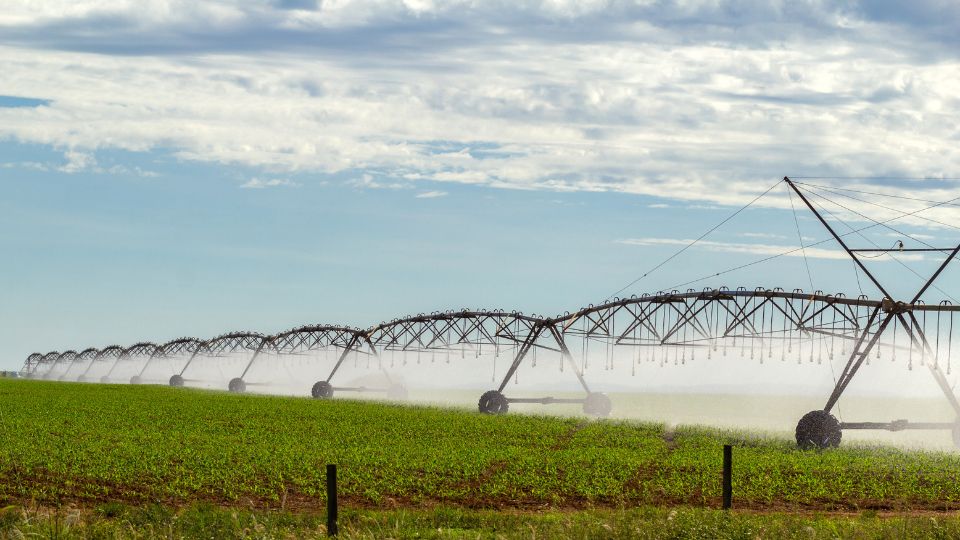
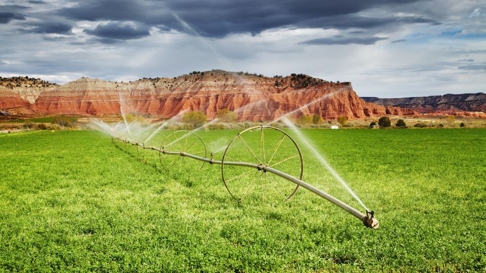
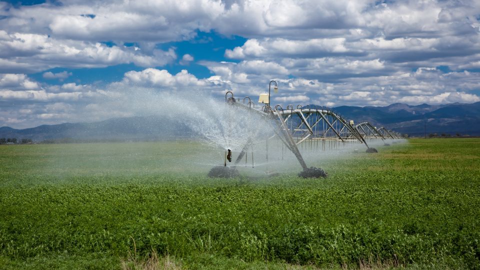
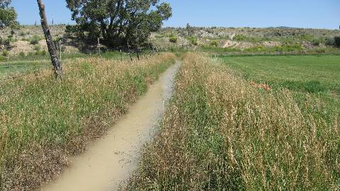
General information about irrigation in Utah, including irrigated lands and water withdrawals.
Snow Pack (Natural Resources Conservation Service - SNOTEL Map)
Snow Pack (Natural Resources Conservation Service - SNOTEL Graph)
Reservoir Status - Bear River Basin (Bear River Commission Teacup Diagrams)
Reservoir Status - Sevier River Basin (Sevier River Water Users Association Teacup Diagrams)
Reservoir Status - Other Basins (U.S. Bureau of Reclamation Teacup Diagrams)
Reservoir Status (Utah Division of Water Resources)
Annual Precipitation (Utah Division of Water Resources)
Water Data (Utah Division of Water Resources - Open Water Data)


This article is a summary of several estimates of the extent of agricultural irrigation in Utah and some associated trends.
This fact sheet provides information about the following topics in the context of the Great Salt Lake and its basin: Great Salt Lake facts, Human effects on the size of the lake, Changes to population and land use, Agricultural water use, Agriculture and ...
As water demand and scarcity increase simultaneously over the coming decades, water managers and growers will need to optimize water use on their irrigated lands. These challenges have been especially noticeable as the Western U.S.faces a prolonged “megad...
It is important to consider the possible hydrologic impacts of irrigation optimization efforts to avoid implementing practices that have little appreciable effect relative to the desired outcome. Examples of desired outcomes include increasing supply reli...
In 1990s and mid-2000s, Utah State University Extension performed irrigated acreage surveys, lead by Dr. Robert Hill, then Extension Irrigation Specialist in the Department of Biological and Irrigation Engineering. The surveys included the input from many county agents and other staff also. Although not current now, this data may be of historical interest. The original survey products were spreadsheet tables, which have now been converted to web-based tables and formatted for consistency across survey years.