After a wildfire has been extinguished residual hazards exist. Wildfires dramatically change landscape and ground conditions, which can lead to increased risk of flash floods and debris flows during heavy rains because the burned ground is unable to absorb the falling rain, producing runoff conditions and flash flooding downstream and threatening properties not previously at risk. Residents and businesses downstream from a wildfire should be aware of the hazards they face, the steps to reduce their risk, and resources available to assist them. A flash flood is a rapid increase in flow along a stream channel that may allow the water to overflow channel banks and cause a flood. Typically during monsoon season (July through September) there is very little time between the storm event upstream and flood waters downstream, often under an hour. If the flood waters contain rocks, trees and other debris it is termed a debris flow.
In Utah one of the biggest threats from wildfire both in terms of life-safety and damages comes from post-fire flooding. This flooding typically occurs during the summer and early fall and is associated with thunderstorms that develop during monsoon season. These events are typically localized delivering intense rain for a short duration and causing flash flooding. Purchasing flood insurance should be a high priority for residents and businesses downstream from a burn scar. FEMA publishes individual Flood Insurance Rate Maps (FIRMs) so you can make informed decisions about protecting your property financially and structurally.
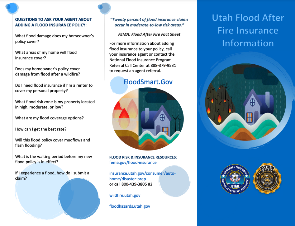
Flood After Fire
- Flood After Fire Toolkit
- Sandbagging Tips
- USACE Flood After Fire Fact Sheet
- USACE Planning Assistance
- USACE FPMS Program
- USACE Improvement of the Environment
- USACE Emergency Streambank and Shoreline Erosion Protection
- USACE Sediment Management Planning Assistance
- USACE Continuing Authorities Program (CAP) for flood risk management
- USACE Continuing Authorities Program (CAP) for Aquatic Ecosystems Restoration
- Information on purchasing flood insurance
- FEMA NFIP Brochure
- Utah Flood Hazards Website
- Flood After Fire Infographic
- Understanding Mudflow Risk Infographic
- Many communities and institutions have automated emergency notification systems like CodeRED that will send
emergency notifications to your cell phone, contact your local law enforcement agency to find out if a local
system is available and sign up today - Create a Before the Flood Checklist including:
- Family Plan identifying hazards and vulnerabilities
- Locate the safest room in your home or place in your community to shelter from hazards
- Determine escape routes from your home and places to meet if you get separated
- Have an out‐of‐state friend or family contact so all family members have a single point of contact
- Plan what to do with pets if you need to evacuate
- Save emergency telephone numbers and make sure children know how to dial 911
- Review insurance coverage, flood damage is typically not covered by basic homeowner policies
- Stock non-perishable supplies and a disaster supply kit
- Secure a NOAA weather radio and replace batteries every 6 months along with your smoke detector
- Take First Aid, CPR, and disaster preparedness classes
- Actions to take prior to a post‐fire flood include:
- Safeguard possessions
- Secure a file of information about your property and possessions and secure it in a safe deposit box and
waterproof container including:- Copy of insurance policies and agent’s contact info
- Written and visual inventory
- Copies of critical documents including finance records and receipts of major purchases
- Businesses should have a plan for resuming operations after a flood
- Prepare your property
- Ensure sump pumps are working and install a battery‐operated backup for a power failure and
consider installing a water alarm to notify you if water is accumulating in your basement - Clear debris from gutters and downspouts
- Anchor any fuel tanks and remove any hazardous materials from basements, garages and sheds
- Raise electrical components at least 12 inches above the projected flood elevation
- Protect areas susceptible to floodwaters by placing sandbags to redirect floodwaters away from
property and/or to patch damaged spots in berms or levees- Filling sandbags takes two people, one to crouch or kneel and hold the bag upright while
the second person shovels sand until the bag is two‐thirds full then fold over, do not tie
bag to close - Fill bags near the location where they will be placed
- Place the bag so the open end is folded under the sandbag
- Stack bags up to three‐high or in a pyramid shape with each layer containing one row
fewer than the layer below, the pyramid pattern provides more stability but requires
more bags - Stagger the placement of bags to fill in potential gaps and to strengthen weak spots
- Place sandbags with the folded end of the bag facing the upstream direction from which
the water will flow to keep the bag sealed
- Filling sandbags takes two people, one to crouch or kneel and hold the bag upright while
- Ensure sump pumps are working and install a battery‐operated backup for a power failure and
- Actions to take during a flood include:
- Do not walk through moving water, use a stick to check the firmness of the ground in front and depth of
water, six inches of moving water can cause an adult to fall - Do not drive into flooded areas, if floodwaters rise around your car, abandon the car and move to higher
ground if you can do so safely, it can only take a foot or two of water to sweep away a vehicle in flood
waters - Listen to a NOAA Weather Radio for information on flooding and other weather alerts and the latest
emergency information - Avoid streams, drainage channels, canyons and other low‐lying areas prone to sudden flooding, flash
floods can occur without typical warning signs off of a burn scar - If there is a chance of flash flooding immediately move to higher ground, don’t wait for an official
warning - If water rises in your home before you evacuate go to the top floor, attic or roof
- Turn off utilities at the main power switch and close the main gas valve if advised to do so and
disconnect electrical appliances, do not touch electrical equipment if you are wet or standing in water - If you have come in contact with floodwaters wash your hands with soap and clean water
- If instructed to evacuate, leave your home and stay away until authorities say it is safe to return
- Use phones only for emergency calls
- Do not walk through moving water, use a stick to check the firmness of the ground in front and depth of
- Actions to take after a flood
- When floodwaters have receded home restoration can begin, if your home has suffered damage call
your insurance agent to file a claim - Check for structural damage before re‐entering your home to avoid being trapped in a building collapse
- Take photos of any floodwater in your home and damaged personal property
- Compile a list of damaged or lost items along with their value and receipts if you have them for
insurance claims - Keep power off until an electrician has inspected your system for safety
- Boil water for drinking and food preparation until authorities deem the water supply to be safe
- Prevent mold by removing wet contents immediately
- Wear gloves and boots to clean and disinfect, wet items should be cleaned with pine‐oil cleanser and
bleach, completely dried, and monitored for several days for any fungal growth and odors
- When floodwaters have receded home restoration can begin, if your home has suffered damage call
Debris Flows
Utah Geological Survey (UGS) helps communities before or after a wildfire, including early warning rain and stream gauges and debris‐flow modeling. Services for Fire‐Related Debris Flows include:
- Evaluate post-fire debris-flow hazard for local communities. Assist Burned Area Emergency Response (BAER) teams in evaluating the debris-flow risk from burned areas. More Information
- Determine active alluvial fan areas to show the areas at risk from fire‐related debris flows using LIDAR and best available geologic mapping methods.
- Educate elected officials and homeowners regarding debris-flow hazards, potential impacts, and risk-reduction measures. A heightened debris-flow hazard period persists for approximately 3 to 5 years after the fire. More information
- Participate in emergency response for communities impacted by debris flows. Services include determining the likelihood of another debris-flow event, safety for first responders and others, and the types of geologic information needed to reduce risk.
- Evaluate pre-fire debris-flow hazard for at risk communities to determine flow frequency and volume necessary to evaluate risk-reduction options for long-term and short-term debris-flow hazards. Utah has a history of damaging snow-melt and thunderstorm triggered debris flows not related to fires. More information
- Sediment Loading -
| Watershed | Pre-Fire | Post-Fire | Increase | Total Sediment per Unit Area (Post-Fire) (tons/acre/yr) |
||||
|---|---|---|---|---|---|---|---|---|
| Water Yield (acre-ft) |
Total Sediment (tons/yr) |
Water Yield (acre-ft) |
Total Sediment (tons/yr) |
Water Yield Increase (acre-ft) |
Total Sediment Increase (tons/yr) |
|||
| Camp Creek | 2,115 | 71 | 3,702 | 16,897 | 1,587 | 16,826 | 2.12 | |
| Douglas Creek | 1,511 | 47 | 2,156 | 7,834 | 646 | 7,787 | 3.07 | |
| Fountain Creek | 2,500 | 90 | 4,822 | 25,075 | 2,322 | 24,985 | 2.69 | |
| West Monument Creek | 2,747 | 104 | 4,035 | 7,489 | 1,288 | 7,385 | 1.23 | |
Table - Summary of pre- and post-fire water and flow-related sediment yeilds by major watershed.