Agricultural Irrigated Land and Irrigation Water Use in Utah
This article is a summary of several estimates of the extent of agricultural irrigation in Utah and some associated trends.
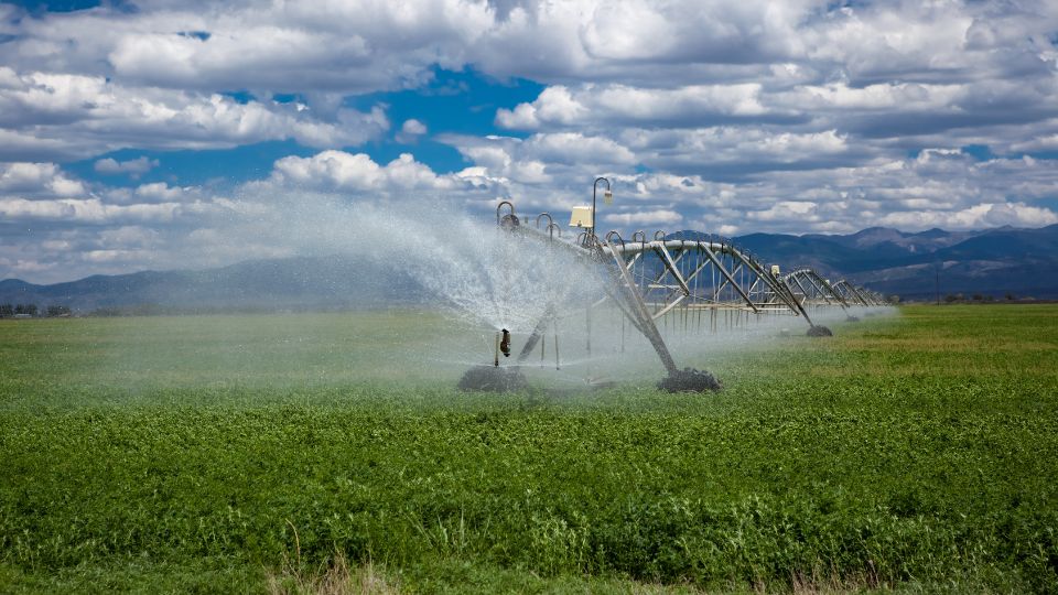
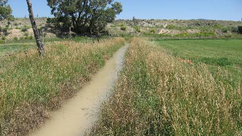
General information about irrigation in Utah, including irrigated lands and water withdrawals.
Snow Pack (Natural Resources Conservation Service - SNOTEL Map)
Snow Pack (Natural Resources Conservation Service - SNOTEL Graph)
Reservoir Status - Bear River Basin (Bear River Commission Teacup Diagrams)
Reservoir Status - Other Basins (U.S. Bureau of Reclamation Teacup Diagrams)
Reservoir Status (Utah Division of Water Resources)
Annual Precipitation (Utah Division of Water Resources)
Water Data (Utah Division of Water Resources - Open Water Data)

This article is a summary of several estimates of the extent of agricultural irrigation in Utah and some associated trends.
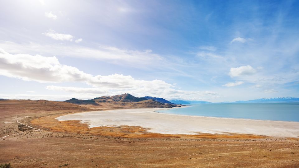
This fact sheet provides information about the following topics in the context of the Great Salt Lake and its basin: Great Salt Lake facts, Human effects on the size of the lake, Changes to population and land use, Agricultural water use, Agriculture and ...
In this fact sheet, we calculated average reference evapotranspiration and precipitation data for multiple locations in Utah, USA. To accomplish this, we collected the data from the Utah Climate Center and compiled it to show an average of 20 years of dat...
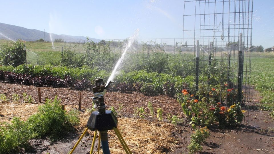
The goal of most irrigation system design and management is to provide all plants in an irrigated area with equal access to water. In this fact sheet, we explain major causes of uneven water distribution in sprinkler and drip irrigation systems and sugges...
In 1990s and mid-2000s, Utah State University Extension performed irrigated acreage surveys, lead by Dr. Robert Hill, then Extension Irrigation Specialist in the Department of Biological and Irrigation Engineering. The surveys included the input from many county agents and other staff also. Although not current now, this data may be of historical interest. The original survey products were spreadsheet tables, which have now been converted to web-based tables and formatted for consistency across survey years.
USU Utah Water Research Laboratory Website
USU Extension Drought Page
Link to webpage with economics of irrigation systems from Texas A&M University