Land Treatment Practices
Criteria for Land Treatment Practices
Land treatment practices are conservation practices for fields receiving application of manure and organic by-products. On fields where manure and organic by-products are applied as beneficial nutrients, it is important that the management practice minimize the movement of nutrients from runoff and soil erosion. This allows plant uptake of these nutrients and prevents the movement of nutrients into state water sources. An understanding of the present land use of your particular field is essential when developing a conservation system that address runoff and soil erosion.
Identification of existing and potential natural resource concerns, problems and opportunities of the operation are needed when choosing land treatment practices. Determining the potential of nitrogen and phosphorous losses from the site are also important. An on-site visit is helpful in assessing each operations situation. If there are any problems identified, a nutrient management plan (NMP) can assist with this.
On-site visits are conducted by personnel from the Utah Association of Conservation Districts (UACD), Natural Resource Conservation Service (NRCS) and Utah Farm Bureau. To find an office closest to you click on the agency you are interested in.
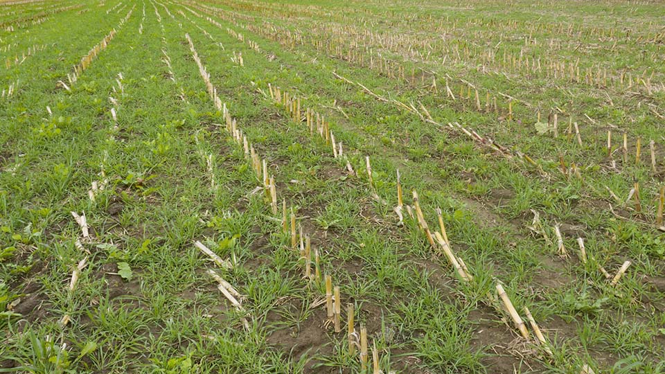
Land treatment practices should address the federal, state and local water quality criteria. They should also be in compliance with any regulations or ordinances associated with soil erosion and runoff in you particular area. Typical conservation practices used as part of a conservation system to minimize runoff and erosion are:
- Conservation Crop Rotation
- Residue Management
- No Till and Strip Till
- Mulch Till
- Ridge Till
- Seasonal
- Contour Buffer Strips
- Cover Crop
- Diversion
- Windbreak and/or Shelter Belt Establishment
- Riparian Forest Buffer
- Filter Strip
- Grassed Waterway
- Prescribed Grazing
- Contour Strip Cropping
- Field Strip Cropping
- Terrace
A Conservation Plan should document the following:
- Land application area on areal photos
- Individual field maps with setbacks, buffers, waterways, and other planned conservation practices marked
- Soil information such as features, limitations, and capability of each field
- Conservation practice design information
- Identification of sensitive area such as sinkholes, streams, springs, lakes, ponds, wells, gullies and drinking water sources
- Other site information features of significance, such as property boundaries
Identify operation and maintenance practices and/or activities.