Utah State University sites use cookies. By continuing to use this site you accept our privacy and cookie policy. Skip to content
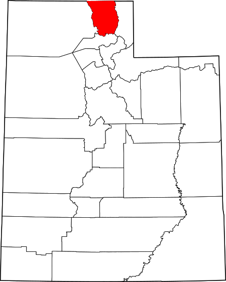
Cache County Resources
General
Plant List
Plant Materials
Weed Management
Native Plant Groups
Restoration Practitioners
Conservation/Educational Groups
Case Studies
Tools
- Contour Map Generator - Generate a contour map based on a chosen area of interest, additional topographical features can be added for a higher fee.
- Series Extent Explorer - Quickly display and compare the approximate geographic distribution of up to five soil series.
- EDDMapS - Web-based mapping system for documenting invasive species and pest distributions.