Landscape Plants for Eagle Mountain, Utah
March 2018 | Horticulture/Landscape/2018-01pr
Introduction
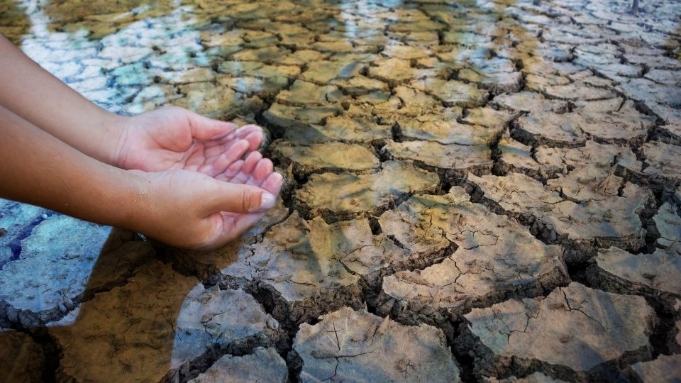
The City of Eagle Mountain is one of the fastest growing cities in Utah. Its rapidly increasing population, coupled with a semiarid environment, places a strain on natural resources such as water. Water conservation is a priority for the City of Eagle Mountain in order to create and maintain a comfortable lifestyle for its residents. As part of the city’s updated Water Conservation and Management Plan (2014), the city hopes to promote the use of drought-tolerant plants and efficient irrigation in order to conserve water. Eagle Mountain also plans to lead by example by installing a low-water demonstration garden and implementing water-efficient landscaping practices on city-managed landscapes
Purpose of Fact Sheet
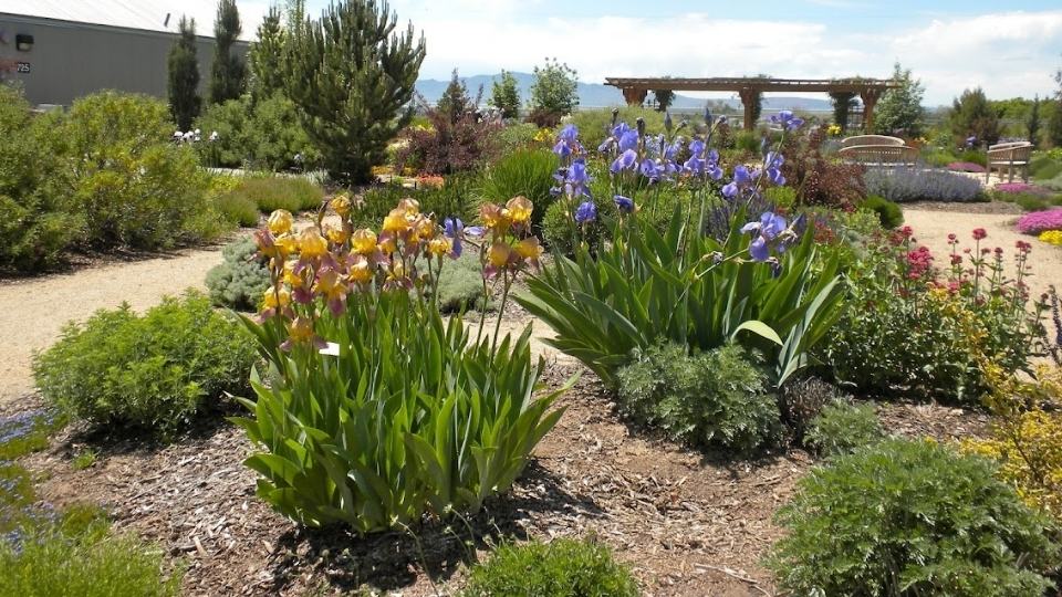
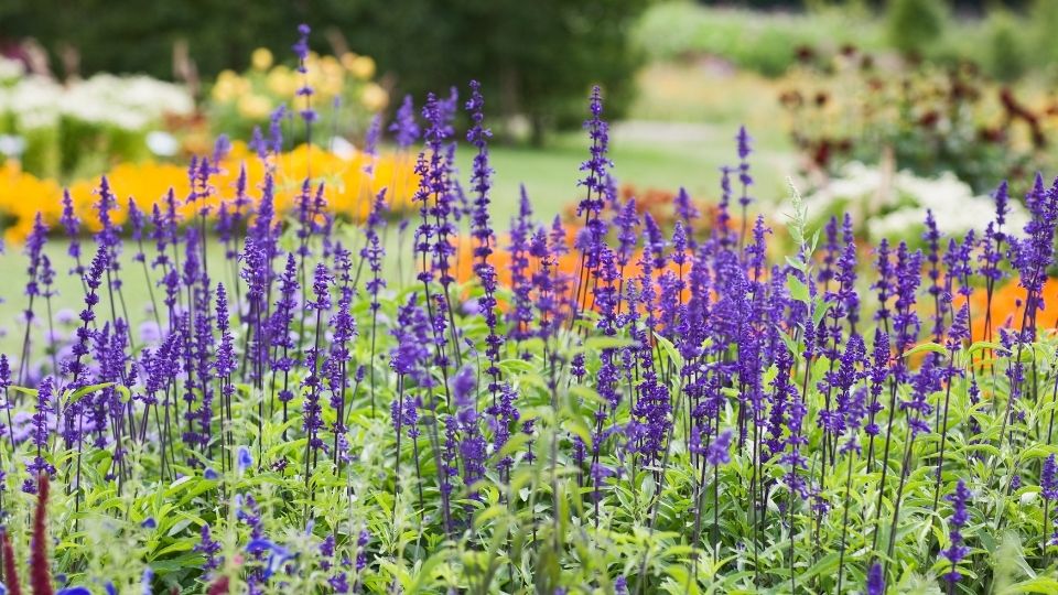
A low-water landscape can be colorful, inviting and beautiful. The purpose of this fact sheet is to help homeowners of Eagle Mountain select landscape plants that will be successful in this area while also requiring less water. With proper plant selection and efficient irrigation, residents will be able to maintain beautiful landscapes while using less water.
Location & Population
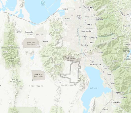
Eagle Mountain is located in Cedar Valley in northwestern Utah County. The West Desert lies to the west, and the Lake Mountains serve as an eastern barrier between the valley and Utah Lake. Within commuting distance of the Provo-Orem and Salt Lake City metropolitan areas, Eagle Mountain has a population that is rapidly increasing as housing pressure grows. Incorporated in 1996, its population grew from an estimated 2,000 people in 2000 to 30,000 in 2016. It is projected to continue to grow to 41,050 in 2024, and to 120,000 residents by 2040.
Plant Selection
Ecoregion
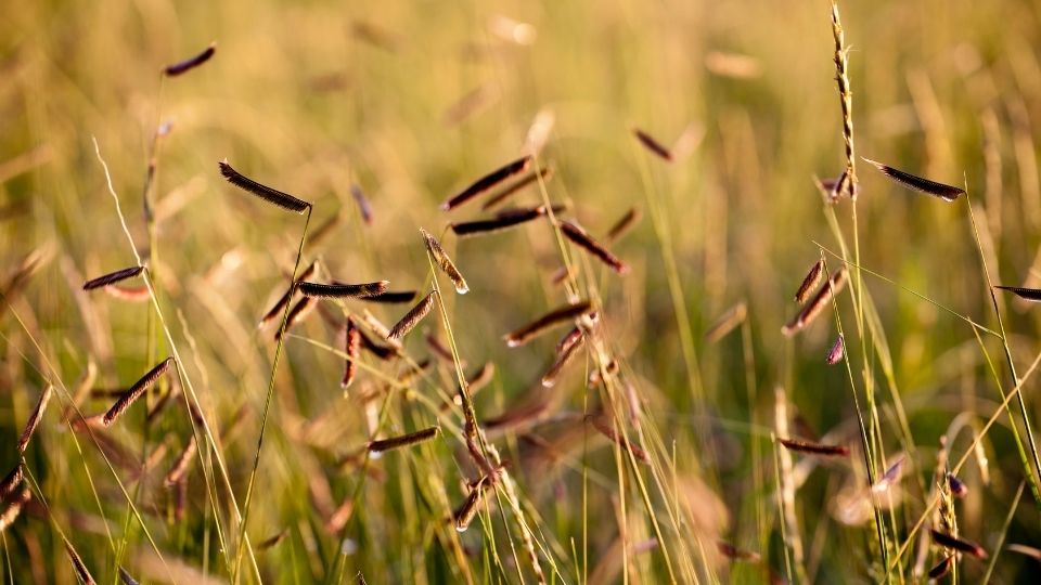
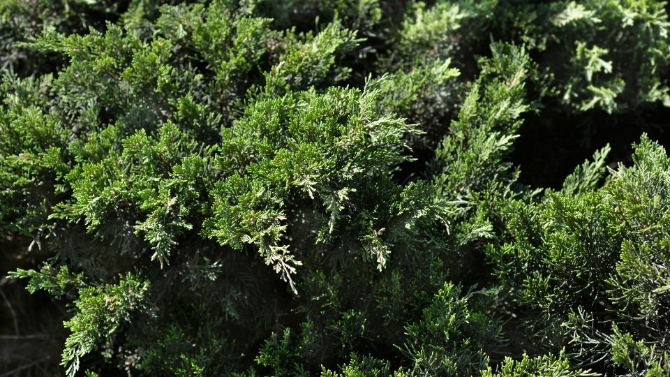
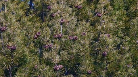
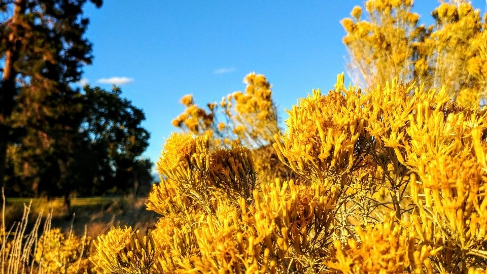
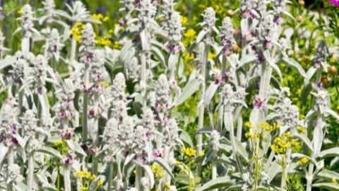
Eagle Mountain is located in the semiarid Central Basin and Range ecoregion, which is dominated by sagebrush and bunch grasses. Native vegetation also includes pinyon pine, juniper, rabbitbrush and mountain mahogany; all of which are adapted to the cold temperatures and low rainfall of this region.
Climate & Hardiness Zones
According to the USDA Plant Hardiness Zone map, Eagle Mountain ranges from 6a (-10°F to -5°F) to 7a (5°F to 10°F). However, data from nearby weather stations indicate that microclimates in that area vary greatly. Depending on the site location within the city of Eagle Mountain, sites could even be in the USDA Hardiness Zones 4b (-25°F to - 20°F) to 5b (-15°F to -10°F).
The closest weather station to Eagle Mountain is located in Fairfield, 5 miles away at about the same elevation as Eagle Mountain’s City Center. Annual low temperatures in the last 20 years have dipped down into the -20s several times. Microclimates consisting of low-lying areas throughout the city where cold air settles could possibly be even colder. In contrast, the Ranches area of Eagle Mountain is elevated above the valley floor and partially on the Utah Lake side of the Lake Mountains, which results in warmer temperatures than the City Center area.
The growing season (days between first and last frost) averages 95 days at the Fairfield weather station with the last average spring freeze on June 7th and an average first freeze date of September 10th. Data from the Utah Lake Lehi climate station may more closely approximate the Ranches area and shows a longer growing season of 138 days with the last freeze on May 15th and the first freeze on September 29th. This temperature variability throughout the city underscores the importance of understanding individual landscape sites. Plants that will only survive in the Ranches area of the city are noted on the plant list.
Water Situation
Water Source
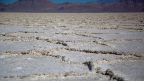
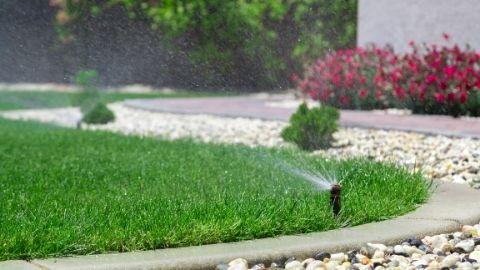
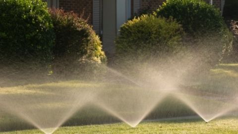
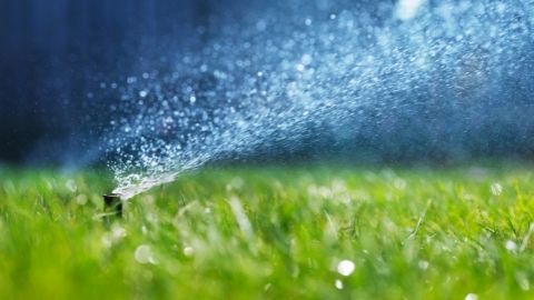
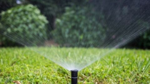
The current reliance on well water will not sustain the growing population of Eagle Mountain City. Therefore, the city has recently purchased 11,000 acre feet of water from Central Utah Water Conservancy District. This water must be imported from east of Utah Lake and has been treated for culinary use. It is a more expensive source of irrigation water than untreated well water. With typical Utah residents using 50-60% of their water on their landscapes, finding ways to reduce water use is essential for future growth.
Annual Precipitation
The annual precipitation in Eagle Mountain averages 13.5 inches per year (NOAA 2011). In comparison, other cities in Utah average the following:
- Ogden: 19.2”
- Logan: 18.5”
- Salt Lake City: 18.6”
- St. George: 8.8”
- Provo: 19.8”
- Moab: 9.5”
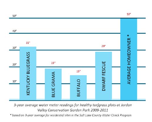
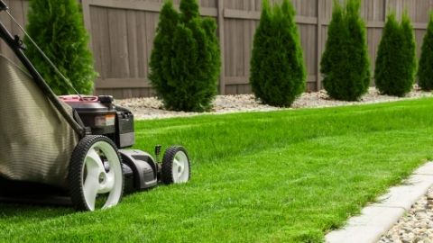
For reference, a typical Kentucky bluegrass lawn requires about 30 inches of water per year. The low precipitation means that most landscapes will need supplemental irrigation to survive.
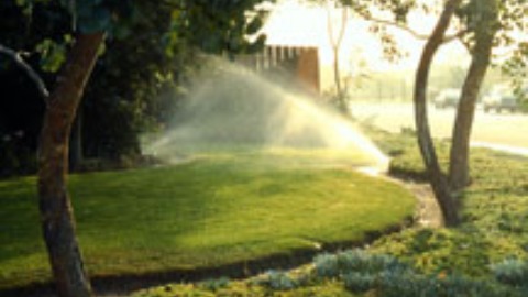
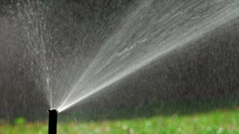
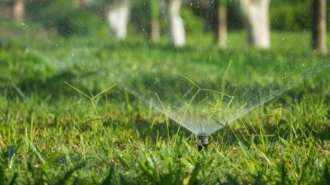
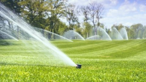
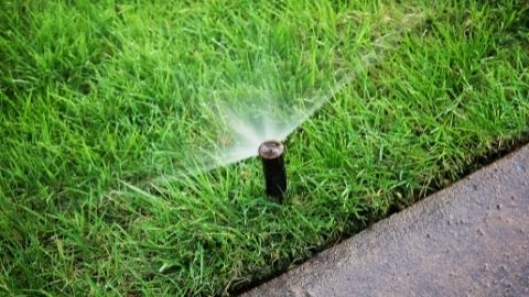
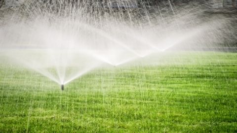
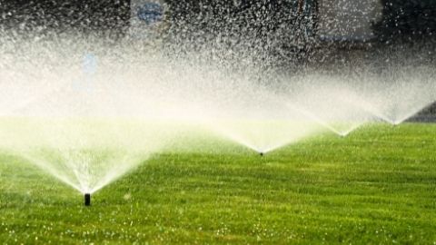
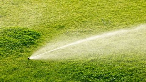
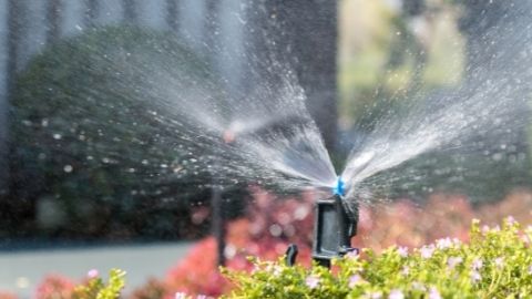
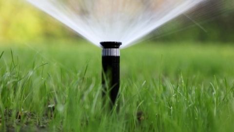
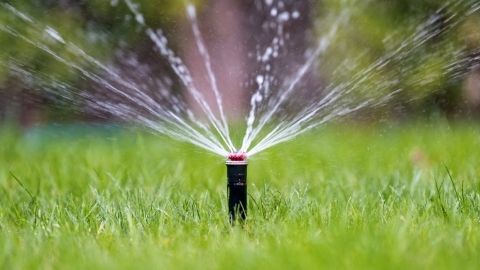
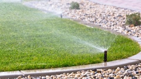
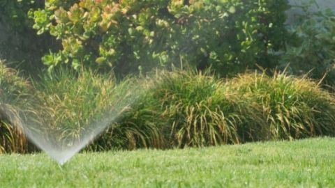
Irrigation Requirements
This publication offers guidelines on plant water requirements by organizing plants into three categories:
- Very Low Water: Plants generally need no additional water once established except in drought conditions. Deep, infrequent watering.
- Low Water: Plants generally require water once or twice a month after establishment, depending on weather.
- Moderate Water: Plants generally require water once a week, depending on weather.
Keep in mind that this is a guide; microclimate, soil type, plant density and other factors may affect the plant’s water needs. Many plants fit into more than one water zone as they can handle less water, but grow faster/bigger with more water. Grouping plants together by water use (hydrozoning) encourages water efficiency by avoiding overwatering.
Soils
Soil is as important as hardiness zone in determining plant success in a landscape. Many drought tolerant plants are adapted to well-drained soils that are low in nutrients and organic matter. Soil type may affect plant selection. Since soils are often affected by construction, the best way to determine the characteristics of the soil in a specific landscape is through soil testing. Soil tests can be done by the Utah State University Analytical Laboratories at www.usual.usu.edu or through your county Extension Agent.
Native Soils
The native soils in Eagle Mountain differ between the upper elevation Ranches neighborhood, and the lower-elevation City Center area. Both soil types are well-drained and not prone to flooding or ponding. A major difference between the two is the higher salinity levels found in the lower-elevation soils.
Saline Soils
High levels of salts in the soil can hinder plant growth and aggravate water stress by making it difficult for plants to extract water from the soil (Kotuby-Amacher, Koenig, and Kitchen 2000). Saline soils can originate from mineral weathering of the soils, soil amendments, winter de-icing salts, or irrigation water. Plants that are adapted to saline conditions are noted on the list.
Soil pH
Soil pH affects plant nutrient availability. Soils in the Eagle Mountain area are generally slightly to moderately alkaline. It is best to choose plants adapted to alkaline soils rather than amending the soil to match the requirements of the plants. Most acid-loving plants, such as blueberries and azaleas, are difficult to grow in Utah and will not thrive in Eagle Mountain landscapes.
Urban Soils Considerations
It is important to keep in mind, however, that frequently the top layers of soil found in built landscapes are not the native soils. Often topsoil is stripped off during construction and replaced with imported soil. Or, subsoils can be inadvertently brought to the surface. Compaction can also be a problem in built landscapes by making air and water unavailable for plants to produce healthy roots.
Microclimates
The variability of topography in Eagle Mountain creates soil and temperature distinctions that mean some plants could thrive in one part of town, while suffering in another part. Even within a residential lot, recognizing and planting for microclimates may determine the success of many plants. For example, the north side of a building creates a shady, cool area that can keep moisture in the soil longer. A hot, sunny parking strip is exposed to radiant heat from both street and sidewalk, resulting in plants losing more water more quickly. Understanding plant climatic requirements when siting within a landscape ensures successful landscapes.
Planting for Wildlife & Pollinators
As cities grow and encroach into the natural environment, it is important to create and connect areas for the birds, bees and wildlife that rely on these natural resources. A surprising amount and variety of wildlife use residential yards for food, water, habitat and cover. Additionally, inviting wildlife into backyards is of benefit by keeping insects in check and connecting us to the natural world.
Providing wildlife-friendly landscaping can be as simple as including trees that provide berries for birds in the winter. Ensuring a continuous supply of blooms throughout the season will also attract bees and hummingbirds. Some species, such as the Monarch butterfly, need specific plants to feed on at certain stages of their lifecycle.
HOA and City Guidelines
In addition to finding plants adapted to your region and microclimate, check with HOA and city guidelines for restrictions to the amount and placement of certain types of plants. This is especially important in park strips where tall or prickly plants are often restricted.
Plant Availability
When selecting plants for low-water landscapes, native plants are often considered since they are adapted to the local conditions. While natives can be very successful, it is important to keep in mind that they may be limited in their availability from local nurseries. However, nurseries can often locate and order natives or other low-water plants that might not be locally available. It is also important to remember that until established in the landscape, native plants require all of the care typically offered to traditional plants.
References
- Beddes, T., Gunnell, J., Kratsch, H., & Hefelbower, R. (2010). Shrub Selection for Utah Landscapes. Utah State University Extension.
- Cerny, T. A., Heflebower, R., Sagers, L., & Bitner, W. (2003, May). Water Wise Plants for Utah Landscapes. Utah State University Extension.
- Kotuby-Amacher, J., Koenig, R., & Kitchen, B. (2000). Salinity and Plant Tolerance. Utah State University Extension, (AG-SO-03), 8.
- Nordstrom, S., Howe, F., Franklin, B., & Brudnicki, R. (2001). Creating Landscapes for Wildlife. Utah Division of Wildlife Resources.
- Plant Finder. (n.d.). Retrieved December 13, 2017, from http://www.missouribotanicalgarden.org/plantfinder/plantfindersearch.aspx
- PLANTS Database USDA PLANTS. (n.d.). Retrieved December 13, 2017, from https://plants.usda.gov/java/
- Tree List - USU Tree Browser. (n.d.). Retrieved December 13, 2017, from https://treebrowser.org/
- United States Department of Agriculture. (n.d.-a). National Cooperative Soil Survey. Retrieved from https://soilseries.sc.egov.usda.gov
- U.S. Climate Data. (2018). [data]. Retrieved from https://www.usclimatedata.com/climate
- Water Conservation and Management Plan. (2014, November). Eagle Mountain City. Retrieved from http://www.eaglemountaincity.org/Home/ShowDocument?id=1674
- Zollinger, N., Koenig, R., Cerny-Koenig, T., & Kjelgren, R. (2007). Relative Salinity Tolerance of Intermountain Western United States Native Herbaceous Perennials. HortScience, 42(3), 529–534
Authors
Adrea Wheaton, Center for Water Efficient Landscaping; Larry A. Rupp, Extension Landscape Horticulture Specialist (Emeritus), Utah State University; Michael Caron, Extension Associate Professor

Michael Caron
Extension Assistant Professor | Horticulture | Utah County
Agriculture and Natural Resources
Related Research
Collecting Plants on Public Lands for Utah Landscaping
The adaptation of native plants of Utah to local soils, moisture, temperatures, and pests make them prime candidates for sustainable, low-water landscaping that also fosters habitat for pollinators and wildlife.

Save Trees: Preserving Trees During and After Lawn Removal
The documents provide guidelines for preserving trees during and after lawn removal, emphasizing the risks of improper turf removal and irrigation changes that can lead to tree decline. They outline best practices for protecting tree roots, adjusting irri
Water-wise Landscape Ideas for Existing Landscapes
Five easy ways to convert an existing landscape to a water-wise landscape without substantial renovation. These ideas are useful for people who would like to be Waterwise but do not have the time, resources, or expertise to renovate the existing landscape
Watering the Landscape: Make It Easier With Evapotranspiration (ET)
Fact sheet explaining how to use ET to efficiently irrigate your landscape.
10 Low-Water Ornamental Grasses Ideal for Water-Efficient Landscapes in Eagle Mountain, Utah
Brochure describing 10 low water grasses best for the central Utah town of Eagle Mountain.
10 Low-Water Perennials Ideal for Water-Efficient Landscapes in Eagle Mountain, Utah
Brochure describing 10 low water perennials best for the central Utah town of Eagle Mountain.
10 Low-Water Ornamental Shrubs Ideal for Water-Efficient Landscapes in Eagle Mountain, Utah
Brochure describing 10 low water shrubs best for the central Utah town of Eagle Mountain.
10 Low-Water Trees Ideal for Water-Efficient Landscapes in Eagle Mountain, Utah
Brochure describing 10 different low water trees for use in a central Utah landscape.
16 Less Common Trees for Utah Landscapes
This fact sheet provides descriptions of 16 tree species that are less commonly planted in Utah towns and cities.
Drought Tolerance, A Database of Irrigation Requirements for Woody Plants of Northern Utah
The DROUGHT database is based on an extensive review of literature of the water requirements for woody plants adapted to the Northern Utah region. It is intended to increase the resources available to the public to incorporate water-efficient principles a
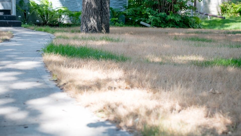
Train Your Lawn Not to Beg for Water
Despite what the snow-covered peaks might indicate, we are not as abundantly blessed with water as those who live in most other states. Without supplemental water, many of our plants and lawns would dry up and die.
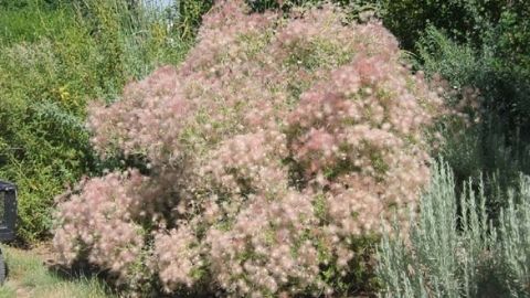
Apache Plume in the Landscape
Apache plume is an evergreen shrub that can reach five feet tall and wide in a landscape setting. This plant’s most distinguishing and attractive feature is the feathery, redturning-pink seedhead that emerges after the white rose-like, five-petaled flower
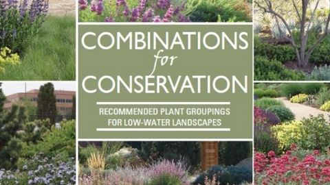
Combinations for Conservation
This book gives homeowners and designers the confidence to create beautiful, low-water landscapes with examples of successful plant combinations in low-water gardens throughout the Intermountain West. The plant combinations are grouped together by water r
Curl-leaf Mountain Mahogany in the Landscape
Curl-leaf mountain mahogany is a marvelous large shrub to small tree that would look good in any ornamental landscape, but is especially adapted for low-water landscapes.
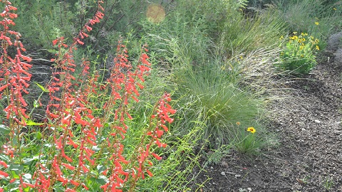
Firecracker Penstemon in the Landscape
Bright scarlet flowers that shower from arching stems of firecracker penstemon have made this plant a favorite of many penstemon enthusiasts. The species is found throughout the West at elevations from 3,000 to 11,000 feet.
Efficient Irrigation of Trees and Shrubs
Scheduling irrigation according to landscape plant water needs can reduce excess water use. In addition to conserving water, proper irrigation can encourage deeper root growth and healthier, more drought tolerant landscapes.
Landscape Plants for Eagle Mountain, Utah: Recommended Plants for Low-Water Landscaping
Document describing recommended plants for low-water landscaping in Eagle Mountain, Utah
Landscaping in Dry Shade: 15 Great Landscape Plants for Dry Shady Areas
The following is a list of 15 plants for dry shady spots.
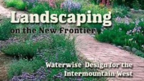
Landscaping on The New Frontier
A practical volume for the home or business owner on landscaping with native, drought-tolerant plants in the Rocky Mountain West. Filled with practical tips on landscape design, water-wise irrigation, weed control, and descriptions of over 100 native pla
Water-Wise Landscaping: Ideas for Landscape Water Conservation Without Changing Your Landscape Design
Simple water-wise changes to conserve water without changing landscape.

Nurturing Native Plants
This publication is a compilation of successful protocols from research literature for native woody plants in Utah. The guide is laid out much like a recipe; listing the various ingredients and materials for each 'dish', and step-by-step instructions to r
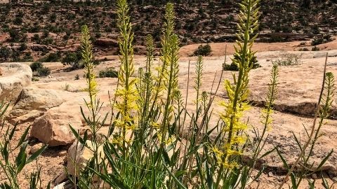
Prince’s Plume in the Landscape
Extremely drought-tolerant perennial to 5 feet, tall with a large mound of coarse foliage at the base and tall plumes of lemon yellow flowers in summer.
Propagating Bigtooth Maple
The first step in producing native plants with greater application in the landscape industry is to propagate or reproduce exceptional selections of these plants.
Seasonal Splendor
The goal of this fact sheet is to aid the homeowner in selecting plant material that will offer season-long interest in the landscape.
Selection and Culture of Landscape Plants in Utah
The purpose of this series of publications is to recommend plants and landscape management procedures for various regions of the state. This edition targets the communities of the high mountain valleys of the state (Rich, Morgan, Summit, and Wasatch count
Simple Sprinkler Performance Testing for Beaver County
Our arid climate and low annual precipitation (10 inches of annual rainfall in Beaver County) make supplemental irrigation an essential requirement for many landscape plants.
Simple Sprinkler Performance Testing for Blanding Utah
Our arid climate and low annual precipitation (14 inches of annual rainfall in Blanding) make supplemental irrigation an essential requirement for many landscape plants.
Simple Sprinkler Performance Testing for Box Elder County
Our arid climate and low annual precipitation (17.25 inches of annual rainfall in Brigham City. 17.80 inches in Tremonton) make supplemental irrigation an essential requirement for many landscape plants.
Simple Sprinkler Performance Testing for Cache County
Our arid climate and low annual precipitation (17 inches of annual rainfall in Cache County) make supplemental irrigation an essential requirement for many landscape plants.
Simple Sprinkler Performance Testing for Carbon County
Our arid climate and low annual precipitation (6-8 inches of annual rainfall in Carbon County) make supplemental irrigation an essential requirement for many landscape plants.
Simple Sprinkler Performance Testing for Davis County
Our arid climate and low annual precipitation (24 inches of annual rainfall in Davis County) make supplemental irrigation an essential requirement for many landscape plants.
Simple Sprinkler Performance Testing for Duchesne County
Our arid climate and low annual precipitation (8.4 inches of annual rainfall in Duchesne County) make supplemental irrigation an essential requirement for many landscape plants.
Simple Sprinkler Performance Testing for Emery County
Our arid climate and low annual precipitation (5.5 to 8.5 inches of annual rainfall in Emery County) make supplemental irrigation an essential requirement for many landscape plants.
Simple Sprinkler Performance Testing for Fillmore, Utah
Our arid climate and low annual precipitation (15 inches of annual rainfall in Fillmore) make supplemental irrigation an essential requirement for many landscape plants.
Simple Sprinkler Performance Testing for Garfield County
Our arid climate and low annual precipitation (8 - 10 inches of annual rainfall in Garfield County) make supplemental irrigation an essential requirement for many landscape plants.
Simple Sprinkler Performance Testing for Moab, Utah
Our arid climate and low annual precipitation (10 inches of annual rainfall in Moab) make supplemental irrigation an essential requirement for many landscape plants. Since landscape irrigation is the single largest residential use of water, efficiently us
Simple Sprinkler Performance Testing for Hanksville, Utah
Our arid climate and low annual precipitation (6 inches of annual rainfall in Hanksville) make supplemental irrigation an essential requirement for many landscape plants.
Simple Sprinkler Performance Testing for Iron County
Our arid climate and low annual precipitation (10.6 inches of annual rainfall in Iron County) make supplemental irrigation an essential requirement for many landscape plants. Since landscape irrigation is the single largest residential use of water, effic
Simple Sprinkler Performance Testing for Juab County
Our arid climate and low annual precipitation (14.7 inches of annual rainfall in Juab County) make supplemental irrigation an essential requirement for many landscape plants. Since landscape irrigation is the single largest residential use of water, effic
Simple Sprinkler Performance Testing for Kane County
Our arid climate and low annual precipitation (8 - 10 inches of annual rainfall in Kane County) make supplemental irrigation an essential requirement for many landscape plants.
Simple Sprinkler Performance Testing for Millard County
Our arid climate and low annual precipitation (8 inches of annual rainfall in Millard County) make supplemental irrigation an essential requirement for many landscape plants.
Simple Sprinkler Performance Testing for Monticello, Utah
Our arid climate and low annual precipitation (8 inches of annual rainfall in Monticello) make supplemental irrigation an essential requirement for many landscape plants.
Simple Sprinkler Performance Testing for Morgan County
Our arid climate and low annual precipitation (18 inches of annual rainfall in Morgan County) make supplemental irrigation an essential requirement for many landscape plants.
Simple Sprinkler Performance Testing for Salt Lake County
Our arid climate and low annual precipitation (13.4 inches of annual rainfall in Salt Lake County) make supplemental irrigation an essential requirement for many landscape plants.
Simple Sprinkler Performance Testing for Sanpete County
Our arid climate and low annual precipitation (10 inches of annual rainfall in Sanpete County) make supplemental irrigation an essential requirement for many landscape plants.

Simple Sprinkler Performance Testing for Sevier County
Our arid climate and low annual precipitation (8.12 inches of average annual precipitation, KSVC radio, 1893-2005) make supplemental irrigation an essential requirement for many landscape plants.