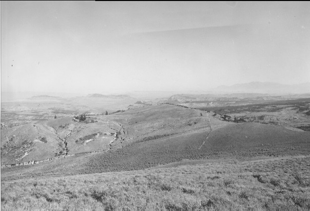
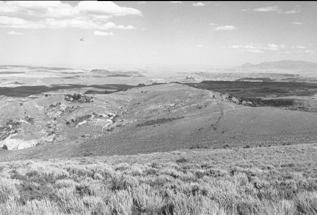
Willow Basin
1962
1999
Description:
Plate 97. WILLOW BASIN: 1962 - 1999 The view is from Utah Highway 72 across the head of Willow Basin with Capitol Reef National Park and the Henry Mountains in the distance. Erosion does not appear as severe in the 1999 photo as in 1962. The pasture fence visible in 1962 was removed prior to 1999, while a new 4x4 trail now winds down the ridge; otherwise there has been little apparent change.
Photo Information:
1962 photo taken on Oct. 10 by the U.S. Forest Service; 1999 photo is Kay #4470-23, taken on Aug. 12. Forest Service photo held by the Loa Ranger District, Fishlake National Forest, Loa, UT.
Vegetative Community:
Sagebrush
Location:
South Central: Fishlake National Forest, Loa Ranger District, T26S, R4E, Sect. 5, UTM 4270500 N, 456550 E; elevation 8,960 ft., viewed to southeast.
January 2018