West Fork Of Boulder Creek
1960
2002
Description:
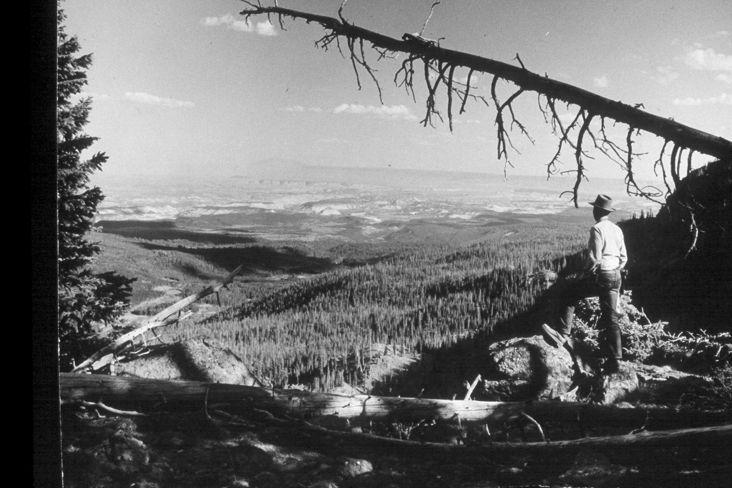
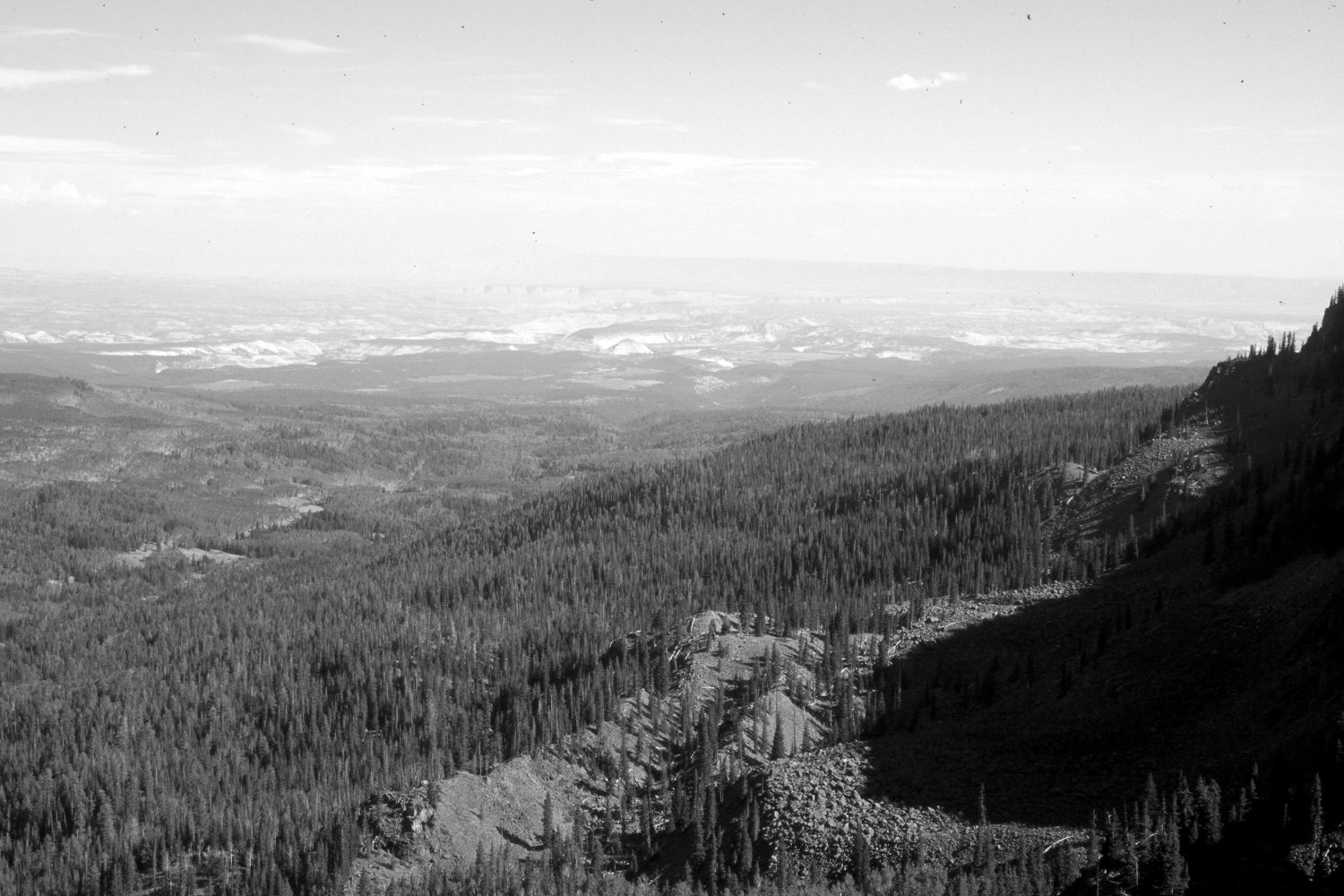
Plate 99X. West Fork of Boulder Creek 1960-2002 Viewed southeast down the West Fork of Boulder Creek from Boulder Top. Cleared fields and the town of Boulder are visible in both photographs. The photopoint is on the rim southeast of Rim Lake. Conifers now block the original camera station so the retake was made from the nearest open area. Fiftymile and Navajo Mountains are visible in the distance of the 1953 image, but are obscured by smoke from forest fires in the retake. There is little apparent change in this distant photo pair.
Photo Information:
U.S. Forest Service photograph (unnumbered) taken ca. 1960; retake by Charles E. Kay on August 5, 2002 - - Photo No. 5010-18. Original photograph held by Southern Utah University Archives and Special Collections, Cedar City, UT.
Vegetative Community:
Conifer
Location:
South West: Section 31, Range 4 East, Township 31 South; UTM 455600E, 4213750N; elevation 10,800 ft.