Water Canyon Divide
1963
2007
Description:
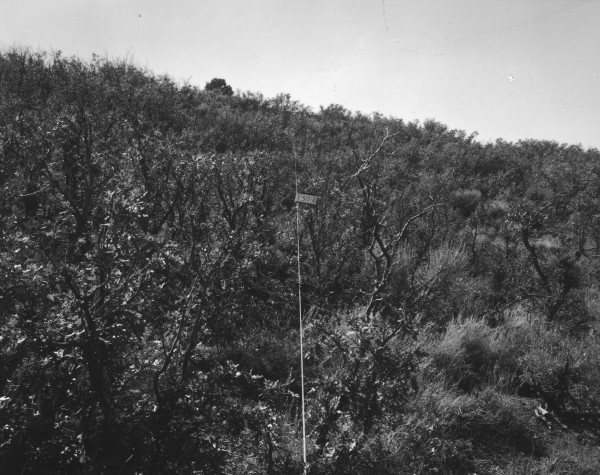
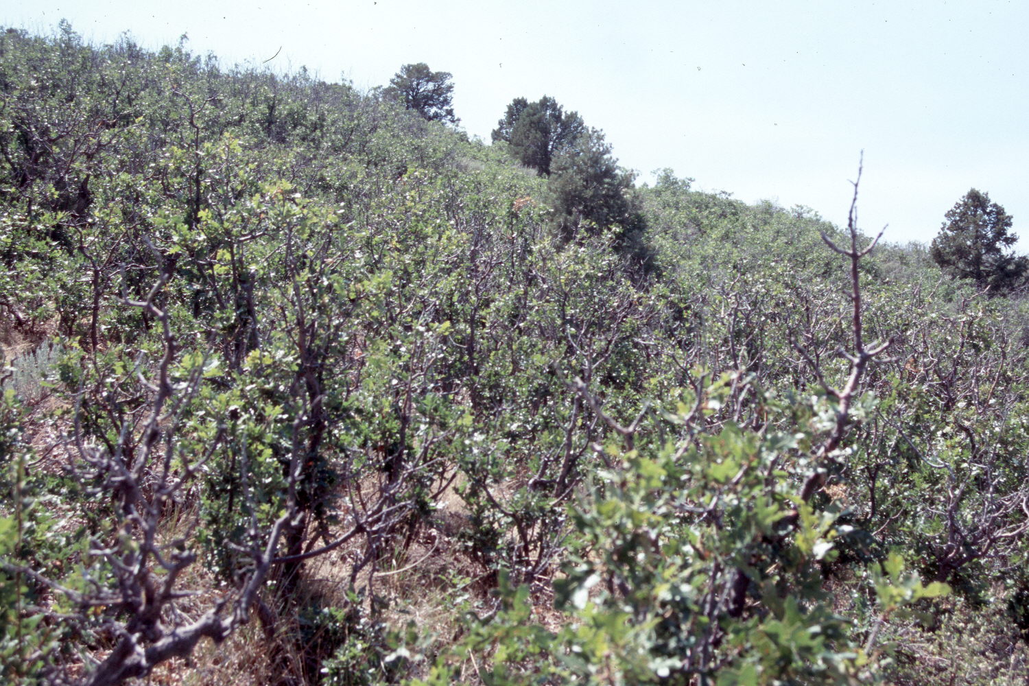
Plate 1481X. Water Canyon Divide 1963 – 2007 Plates 1480x to 1482x where taken on the divide between Water Canyon on the west and Pine Canyon on the east in the Pine Valley Mountains west of Upper Enterprise Reservoir. In 1963 the Forest Service established two Parker Three-Step Transects (Plates 1480x and 1481x) and one pellet group transect (Plate 1482x) immediately south of a small, one rod square, grazing exclosure. According to the accompanying narrative reports, the area was very heavily grazed by livestock during the early 1900’s. To improve range conditions the Forest Service reduced AUM allocations in 1946; changed the season of use to eliminate year-long grazing, also in 1946; and then instituted a four-pasture, rest-rotation grazing system in 1976. As a result, browse conditions have improved, as has ground cover and soil litter. Plate 1481x is viewed southwest at the start of the second Parker Transect. Woody vegetation now blocks the original camera station, so the retake was made from the nearest open area. The vegetation is dominated by gambel oak, which is not presently browsed. Snowberry and sagebrush are also present. Pinyon and juniper have increased. Cattle were actively grazing the area when the site was visited in 2007 and both elk and deer pellet groups were observed.
Photo Information:
Forest Service photograph (unnumbered) taken by I.R. Thornton on September 27, 1963; retake by Charles E. Kay on August 20, 2007 - - Photo No. 5827-19. Original photographs, negatives, and narrative reports held in the range files on the St. George Ranger District, Dixie National Forest, St. George, UT.
Vegetative Community:
Sagebrush, Pinyon, Juniper
Location:
South West: Section 2, Range 19 West, Township 38 South; UTM of the small exclosure 239880E, 4156105 N; elevation 6,570 ft.