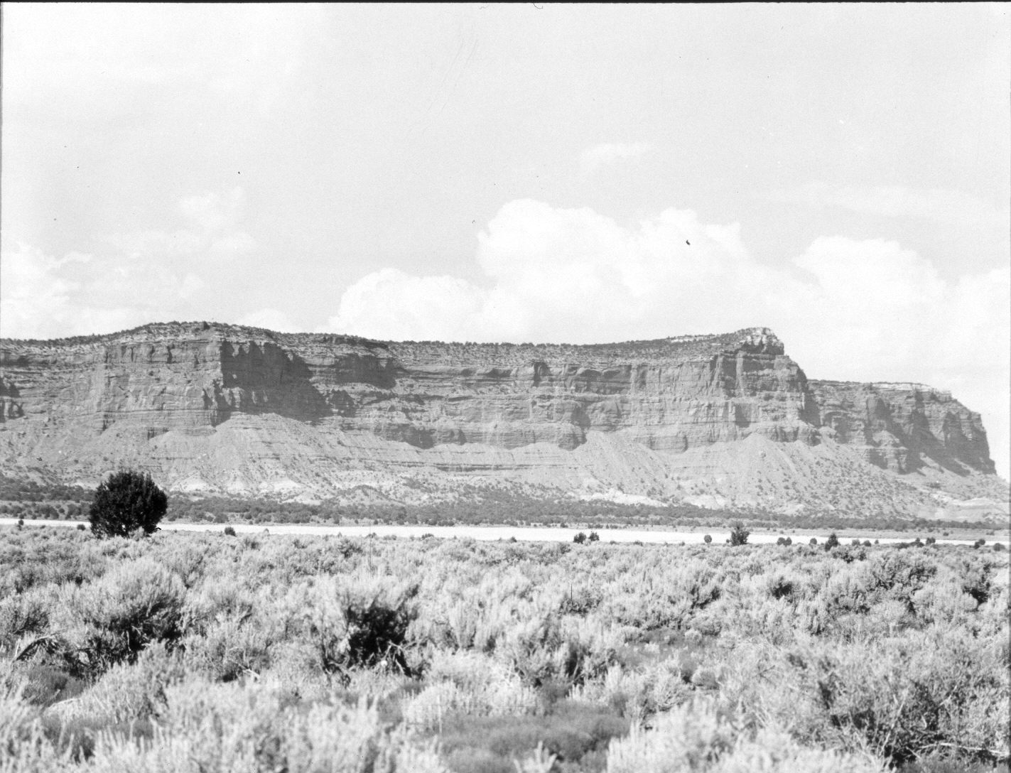
Vermilion Cliffs
1944
2004
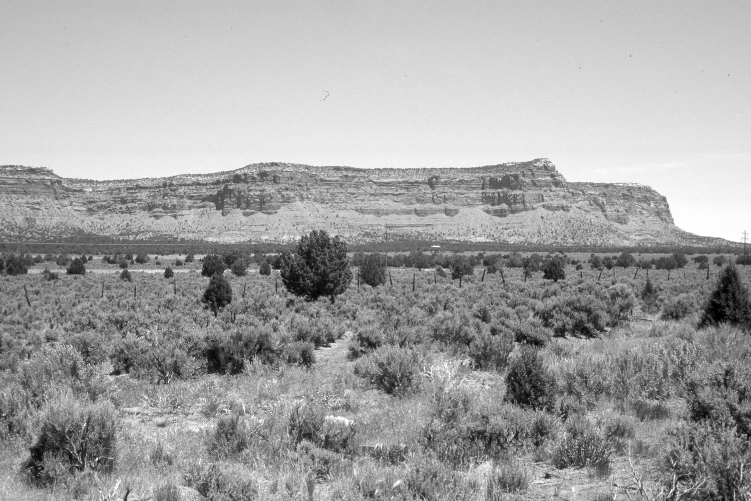
Description:
Plate 482X. Vermilion Cliffs 1944 – 2004 Viewed northeast to the Vermilion Cliffs east of Kanab, UT. The photopoint is on the old road right-of-way. U.S. Highway 89 has been rerouted 150 yards to the north and is visible in the retake. Pinyon and juniper have increased. Wyoming big sage and rubber rabbitbrush have colonized the cleared field seen in the original image. Some Wyoming big sage plants have been killed by the recent drought. Cheatgrass is abundant.
Photo Information:
Original photograph taken by H.E. Gregory (No. 1204) in 1944; retake by Charles E. Kay on June 7, 2004 - - Photo No. 5335-15. Original photograph held in the U.S. Geological Survey Photograph Library, Denver, CO.
Vegetative Community:
Pinyon, Juniper, Sagebrush
Location:
South West: Section 28, Range 4½ West, Township 43 South; UTM 383500 E, 4099500 N; elevation 5,200 ft.