Upper Valley
1942
2003
Description:
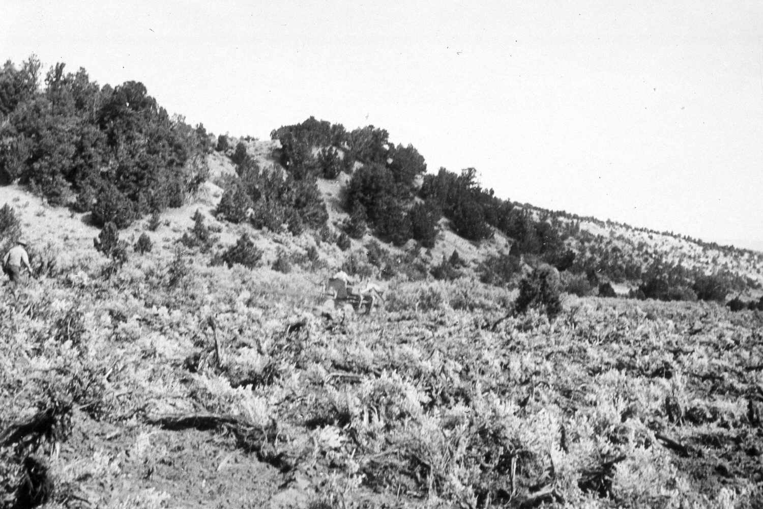
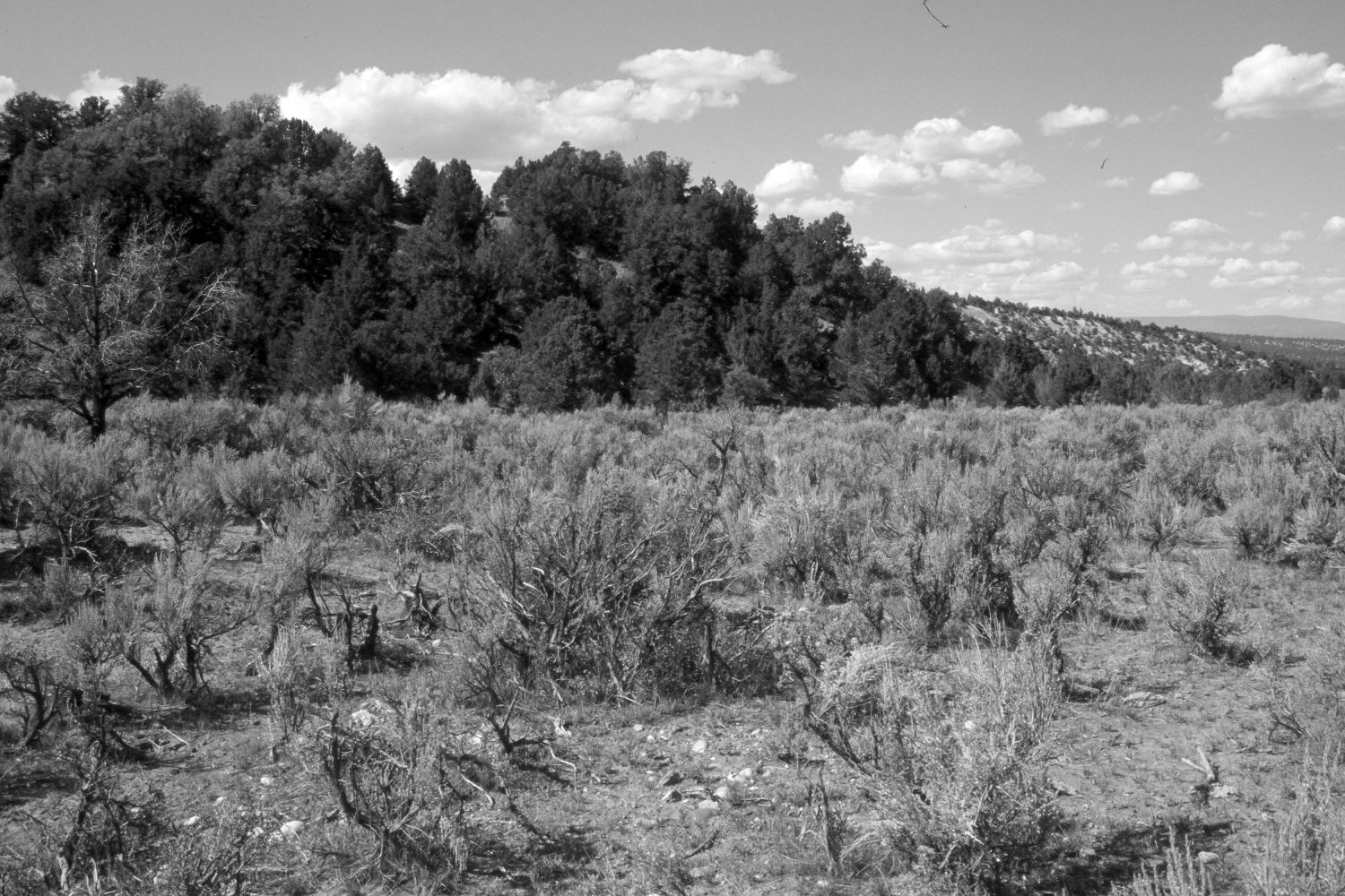
Plate 387X. Upper Valley 1942 - 2003 Viewed north-northeast in Upper Valley south of Utah Highway 12. The initial image was taken as the area was being root-plowed to eliminate sagebrush. The area was subsequently reseeded with crested wheatgrass to improve range conditions - - see Plate 388x. Sagebrush, however, has reinvaded the site and it is now difficult to tell the area was ever treated. Pinyon and juniper have increased on the hillside. The area was actively being grazed by cattle in 2003 when the site was revisited.
Photo Information:
U.S. Forest Service photograph (425074) taken by Charles De Moisey on September 2, 1942; retake by Charles E. Kay on August 30, 2003 - - Photo No. 5277-3. Original photograph held by the U.S. Forest Service Regional Office Photographic Collection housed at Weber State University, Ogden, UT.
Vegetative Community:
Sagebrush, Pinyon, Juniper
Location:
South West: Section 30, Range 1 East, Township 36 South; UTM 426000 E, 4167000 N; elevation 7,460 ft.