Upper Kanab Creek
1966
2003
Description:
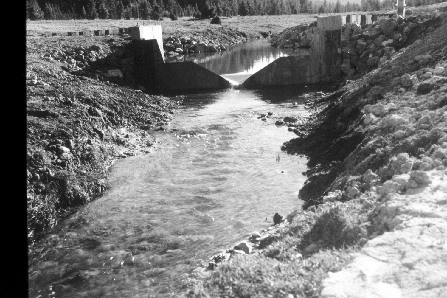
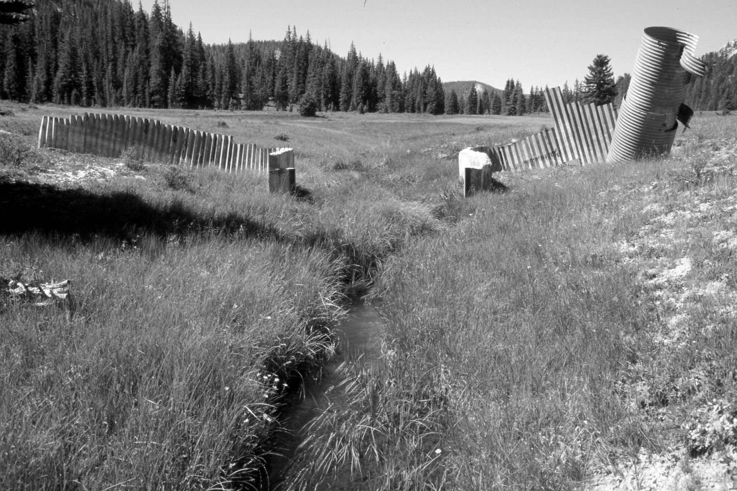
Plate 254X. Upper Kanab Creek 1966 - 2003 Viewed southwest up Upper Kanab Creek on the Paunsaugunt Plateau. The weir in the original photograph had just been installed by the Forest Service “to measure the effects of restoration and other management practices on water yield,” but that structure has not been maintained for many years. The disturbed area has revegetated. Sedges are abundant in the wetter areas, while Kentucky bluegrass in common on drier sites. Spruce has increased in the distance. The few low-growing shrubs are mostly shrubby cinquefoil with an occasional, heavily-browsed willow along the stream. The area had not been grazed by cattle when it was rephotographed in 2003.
Photo Information:
U.S. Forest Service photograph (unnumbered) taken by M.C. Meier on October 15, 1966; retake by Charles E. Kay on August 5, 2003 - - Photo No. 5213-3A. Original photograph held by Southern Utah University Archives and Special Collections, Cedar City, UT.
Vegetative Community:
Riparian, Dry Meadow, Conifer
Location:
South West: Section 10, Range 4 ½ West, Township 38 South; UTM 383600E, 4152730N; elevation 8,120 ft.