Upper Enterprise Reservoir
1927
2004
Description:
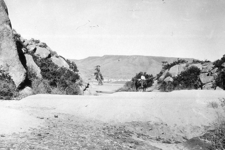
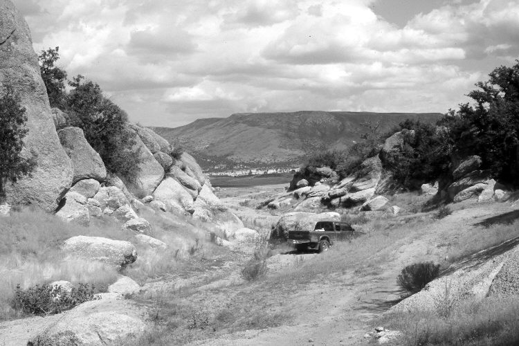
Plate 780X. Upper Enterprise Reservoir 1927 – 2004 Viewed east to the upper end of Upper Enterprise Reservoir. The original photograph was taken near the junction of Pine Canyon and Rattlesnake Creek to show the amount of silt those streams had deposited into the reservoir in one year. That is to say, overgrazing was so severe in these watersheds that massive amounts of soil were being washed off the hillsides and down the streams to the flat water of the reservoir where the silt was deposited. Note the man on horseback in the 1927 image and the pickup truck in the retake. Needless to say, soil erosion has declined. Oakbrush has increased among the boulders, while pinyon, juniper, and ponderosa pine have increased on the far side of the reservoir. That hillside was burned by a severe wildfire one week before the retake was made.
Photo Information:
U.S. Forest Service photograph (96663) taken in 1927; retake by Darrell McMahon on August 17, 2004 - - Photo No. DM-60-15. Original photograph (2520-Dixie-1) held in the Forest Service Regional Office Photographic Collection housed at Weber State University, Ogden, UT.
Vegetative Community:
Pinyon, Juniper, Conifer
Location:
South West: Section 4, Range 18 West, Township 38 South; UTM 245413 E, 4155955 N; elevation 5,710 ft.