Tropic Valley
1921

2004
Description:
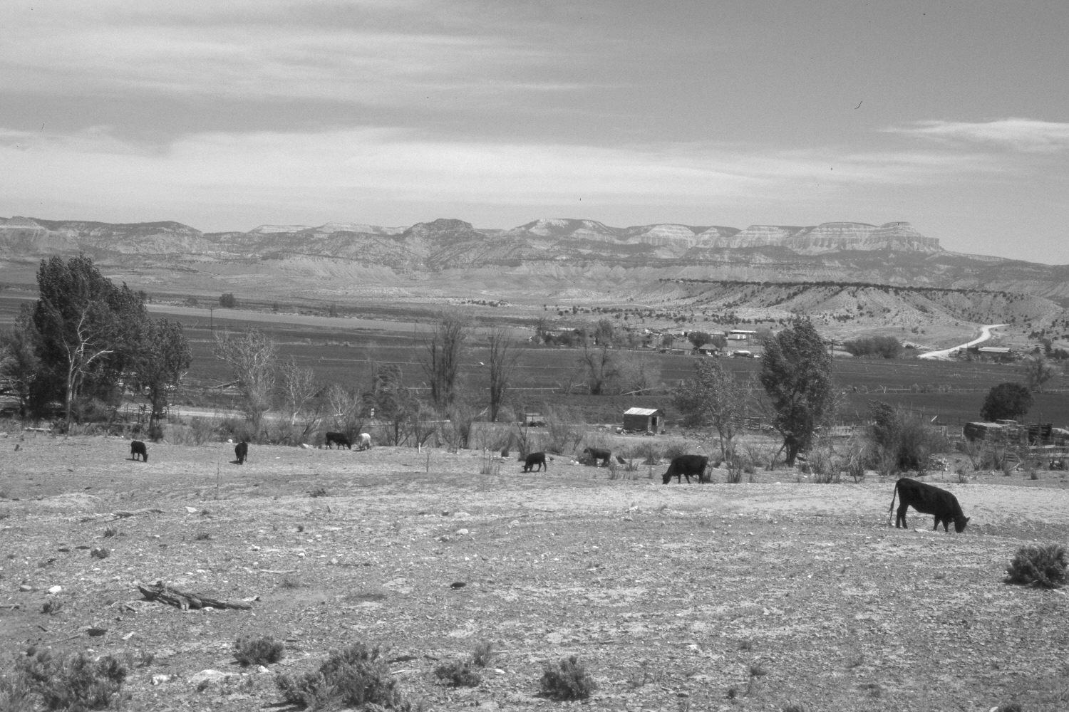
Plate 411X. Tropic Valley 1921 – 2004 Viewed northeast across the Tropic Valley below Tropic, Utah. Powell Point (10,188 ft.) and Table Cliff Plateau are in the distance. Utah Highway 12 has been realigned. Most of the bottomlands are private, while the more distant hills are BLM or USFS. Cottonwoods and other woody riparian vegetation have increased among the irrigated fields, while pinyon and juniper have increased in the distance. The Paria River flows through the irrigated fields near the distant buildings in the retake.
Photo Information:
Original photograph taken by R.C. Moore (No. 154) in 1921; retake by Charles E. Kay on May 10, 2004 - - Photo No. 5292-3. Original photograph held by the U.S. Geological Survey Photography Library, Denver, CO.
Vegetative Community:
Riparian, Pinyon, Juniper
Location:
South West: Section 2, Range 3 West, Township 37 South; UTM 404900 E, 4164150 N; elevation 6,300 ft.