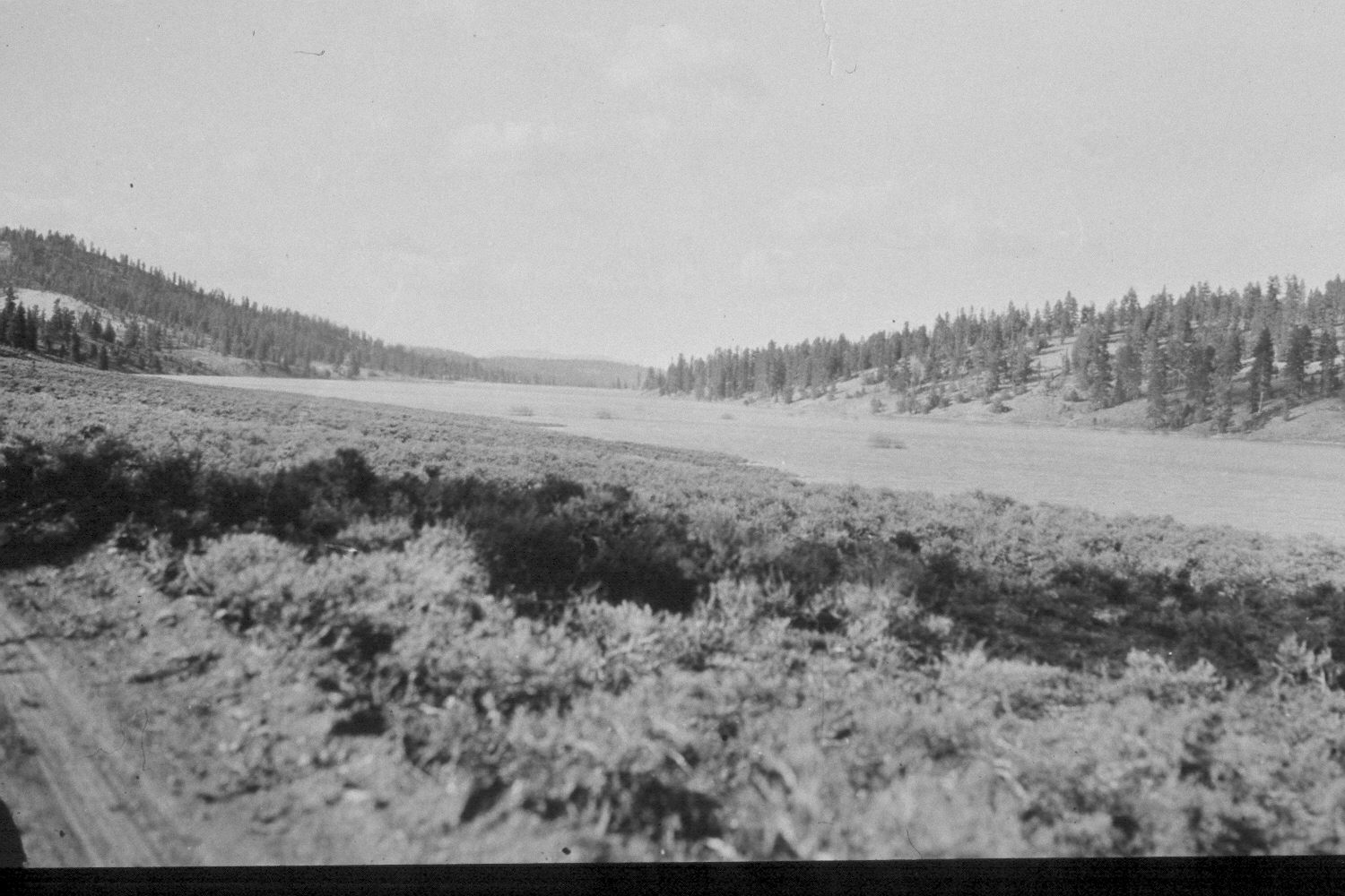
Tropic Reservoir
1940
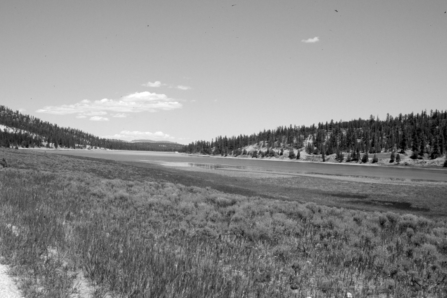
2003
Description:
Plate 154X. Tropic Reservoir ca. 1940-2003 Viewed north down Tropic Reservoir from the westside road. The original photo was taken shortly after the reservoir was filled and shows willows flooded by the rising lake level, as well as sagebrush down to the water’s edge. A new road has been built on the east side of the reservoir and riparian vegetation has replaced some of the original sagebrush. Smooth brome has been planted along the edge of the road in the foreground. Ponderosa pine, pinyon, and juniper have all increased.
Photo Information:
U.S. Forest Service photograph (unnumbered) taken ca. 1940; retake by Charles E. Kay on June 25, 2003 - - Photo No. 5173-29. Original photograph held by Southern Utah University Archives and Special Collections, Cedar City, UT.
Vegetative Community:
Sagebrush, Riparian, Conifer, Pinyon, Juniper
Location:
South West: Section 7, Range 4 West, Township 37 South; UTM 3892000 E, 4161600 N; elevation 7,860 ft.