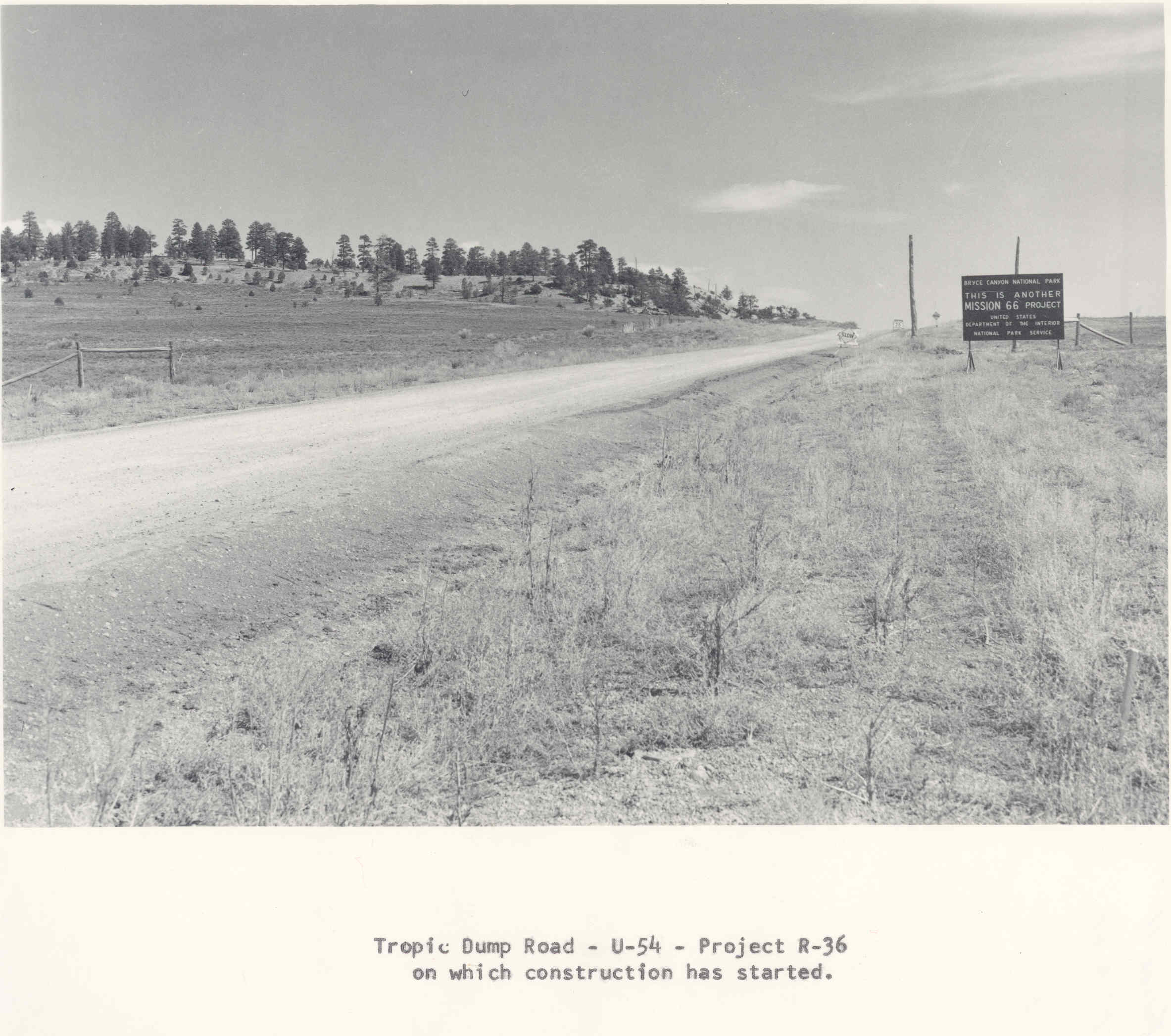
Tropic Divide
1961
2006
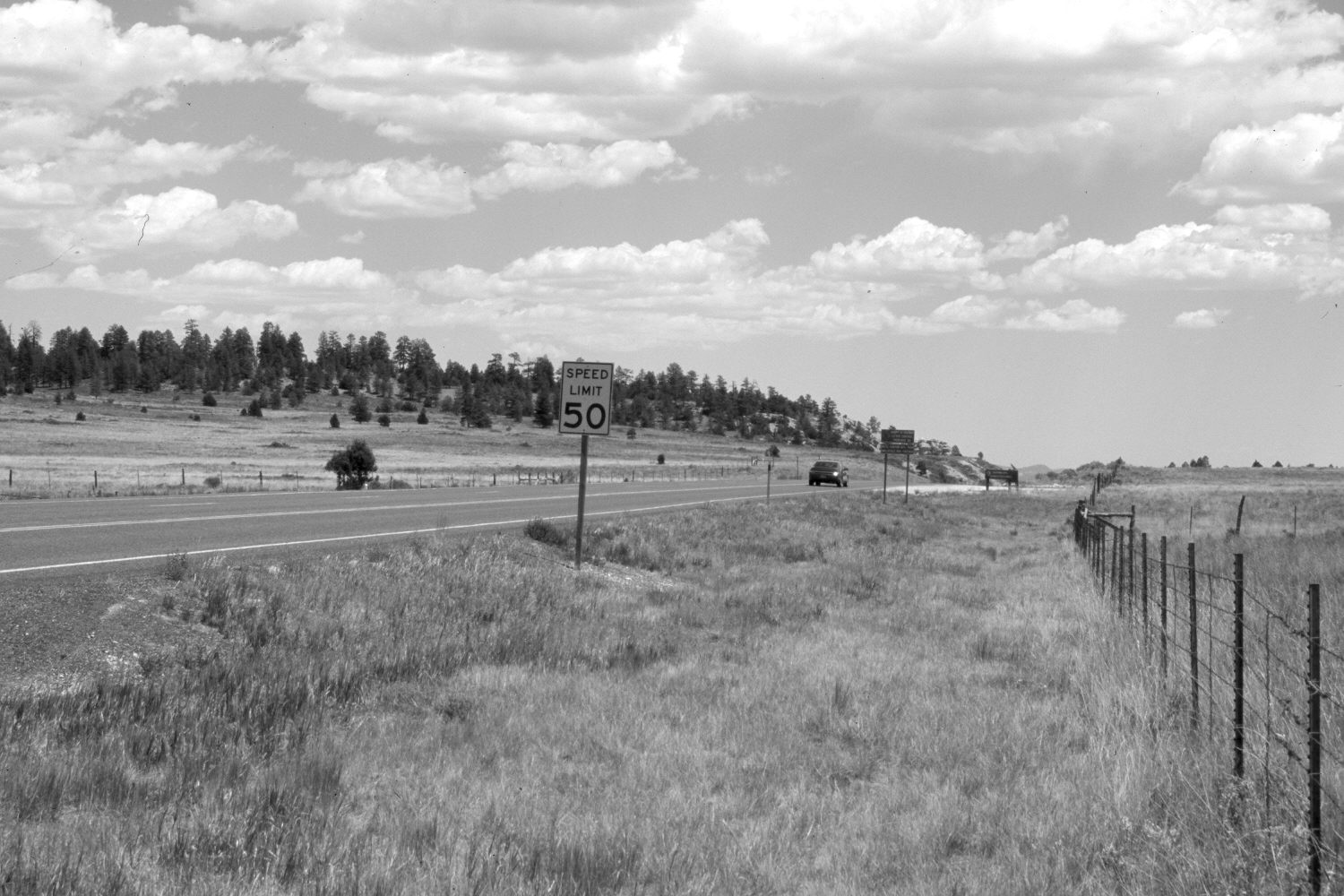
Description:
Plate 1249X. Tropic Divide 1961 – 2006 Viewed east along Utah Highway 12 just before descending into Tropic Canyon. The cross fence on the right is the boundary of Bryce Canyon National Park. The highway has been widened and paved - - note the Mission 66 construction sign in the 1961 image. Native grasses appear to have increased, as have pinyon, juniper, and ponderosa pine.
Photo Information:
Original photograph (Box 2.1, Folder 4, Acc. 350, Photo 68) taken on May 16, 1961; retake by Charles E. Kay on June 22, 2006 - - Photo No. 5660-4. Original photograph held by the National Park Service, Bryce Canyon National Park, Bryce Canyon, UT.
Vegetative Community:
Juniper, Conifer, Dry Meadow
Location:
South West: Section 8, Range 3 West, Township 36 South; UTM 399750 E, 4171400 N; elevation 7,600 ft.