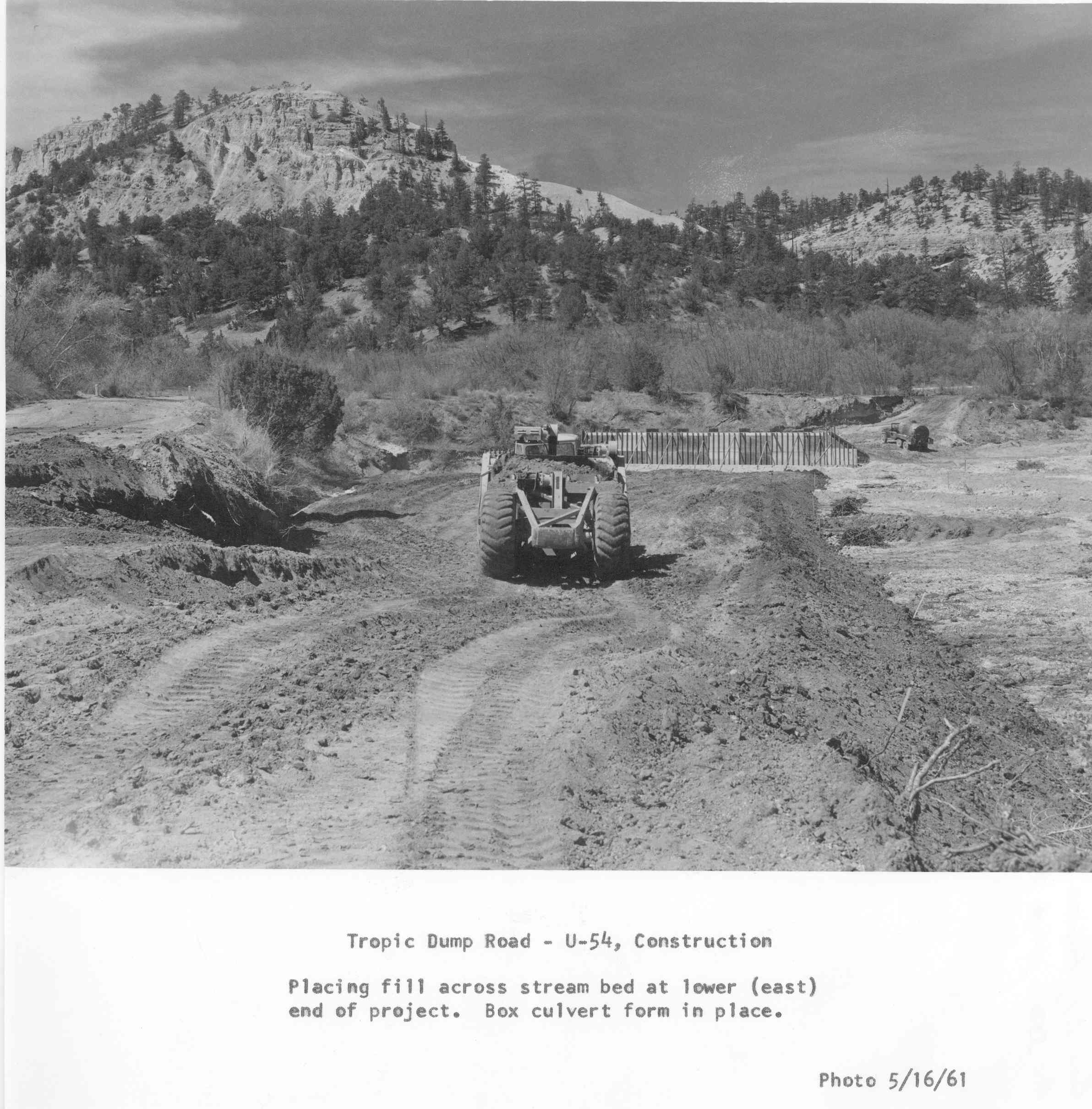
Tropic Canyon
1961
2006
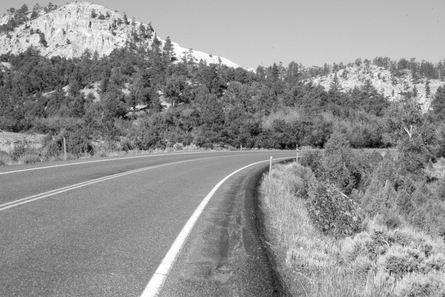
Description:
Plate 1240X. Tropic Canyon 1961 – 2006 Viewed west across the mouth of Jolley Hollow in Bryce Canyon National Park. The original photo was taken as Utah Highway 12 was being realigned, widened, and paved. Jolley Hollow enters from the left, while Tropic Canyon is on the right. The road fill has naturally revegetated. Pinyon, juniper, oakbrush, and ponderosa pine have increased.
Photo Information:
Original photograph (Box 2.1, Folder 4. Acc. 350, Photo 71) taken on May 16, 1961; retake by Charles E. Kay on June 22, 2006 - - Photo No. 5654-31A. Original photograph held by the National Park Service, Bryce Canyon National Park, Bryce Canyon, UT.
Vegetative Community:
Pinyon, Juniper, Conifer
Location:
South West: Section 22, Range 3 West, Township 36 South; UTM 402500 E, 4167750 N; elevation 6,800 ft.