Taylor Creek
1906
2007
2007
Description:
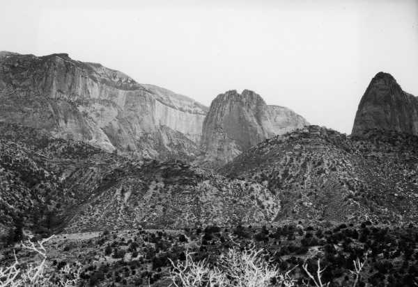
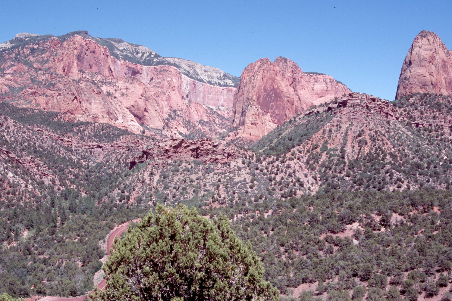
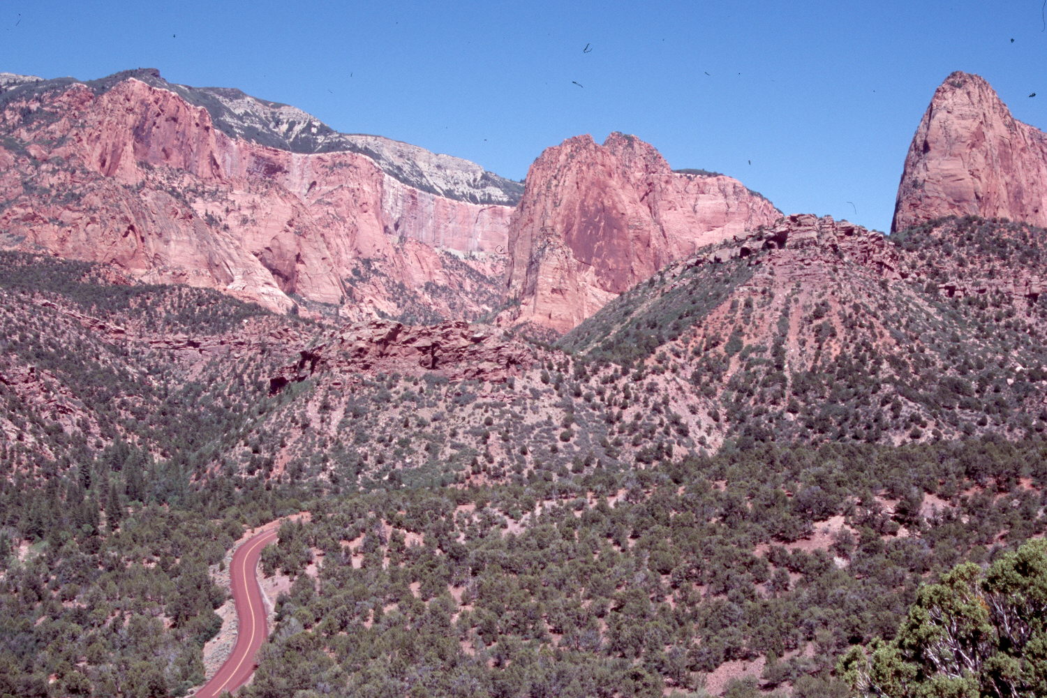
Plate 1470X. Taylor Creek 1906 – 2007 – 2007 This photoset is similar to Plate 1468x but the view is more to the right. The confluence of the North and South Forks of Taylor Creek is on the lower left, while on the skyline (l.to r.) are Horse Ranch Mountain (8,726 ft.), Tucupit Point (7,375 ft.), and Paria Point. As juniper now block part of the original view, a second retake was made from the nearest open area. Pinyon and juniper have increased as have mountain brush species including gambel oak, Utah serviceberry, turbinella oak, and birchleaf mountain mahogany. Visible in the retakes is the park road to Kolob Canyons Viewpoint.
Photo Information:
Original photograph taken by Lee (No. 240) in 1906; retakes by Charles E. Kay on June 25, 2007 - - Photo Nos. 5821-20 and 5821-32. Original photograph held by the U.S. Geological Survey Photographic Library, Denver, CO.
Vegetative Community:
Pinyon, Juniper, Mountain Brush
Location:
South West: Section 28, Range 12 West, Township 38 South; UTM 305189 E, 4148214 N; elevation 5,808 ft.