Steep Creek
ca. 1960
1965
2002

Description:
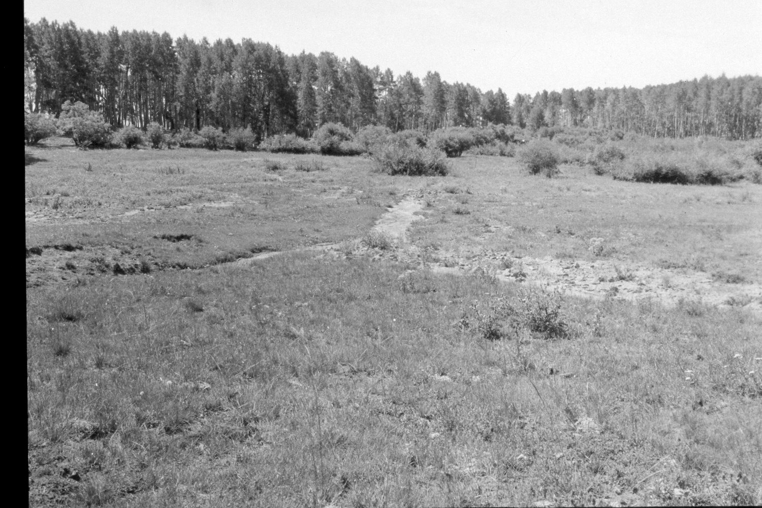
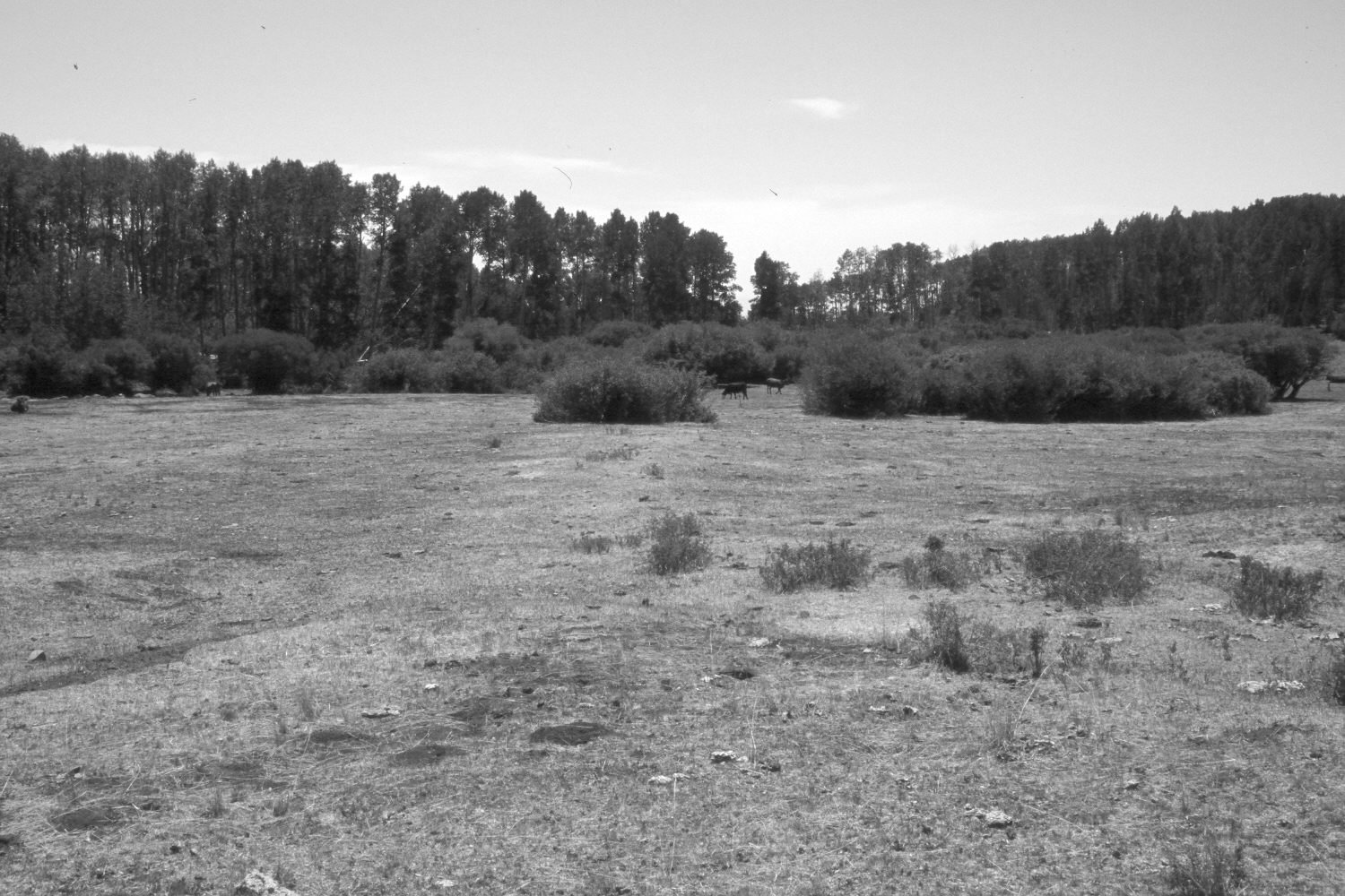
Plate 24X. Steep Creek ca. 1960-1965-2002 The first photograph shows the area prior to treatment by the Forest Service - - viewed east. While the second photograph shows the area after it had been contour-trenched, gully-plugged, and reseeded in 1962. The aspen stands to the right and left of the original photopoint successfully regenerated during the late 1970’s when mule deer numbers were low and now obscure the original views, so the camera station for the retake had to be moved approximately 150 feet further down the hill. The shorter shrubs in the recent retake are snowberry, while the taller shrubs are oakbrush (Quercus gambelii). Willows in the distance appear undamaged. None of the aspen in this photoset has been invaded by conifers, as this is part of the climax aspen zone (Mueggler 1988) on the southeast flank of Boulder Mountain.
Photo Information
U.S. Forest Service photographs (unnumbered) taken ca. 1960 and on August 25, 1965; retake by Charles E. Kay on July 8, 2002 - - Photo No. 4962-11. Original photos held by Southern Utah University Archives and Special Collections, Cedar City, UT.
Vegetative Community:
Mountain Brush, Riparian, Aspen, Conifer
Location:
South West: Section 15, Range 5 East, Township 32 South; UTM 468750E, 4208750N; elevation 9,700 ft.