Roger Peak
1943
1948
1953
Description:
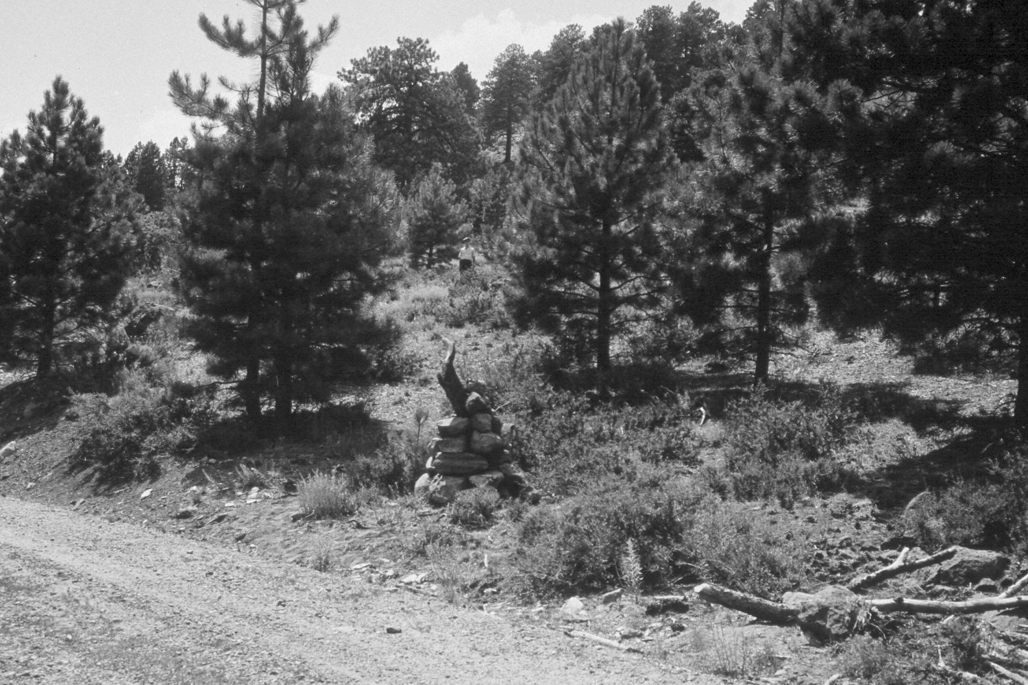
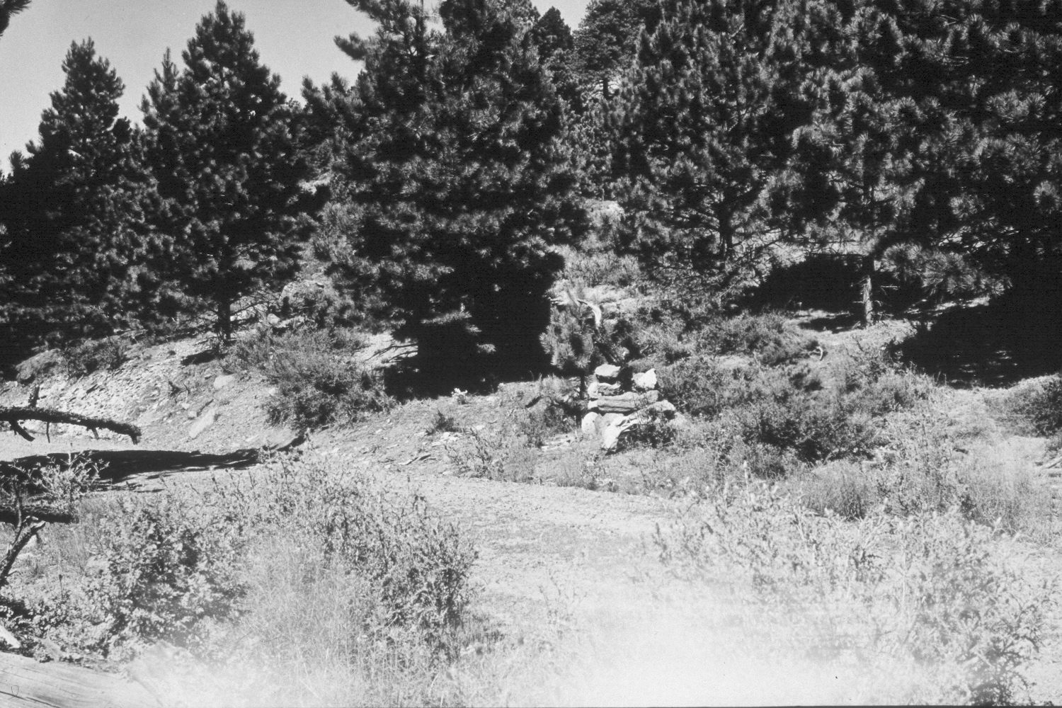
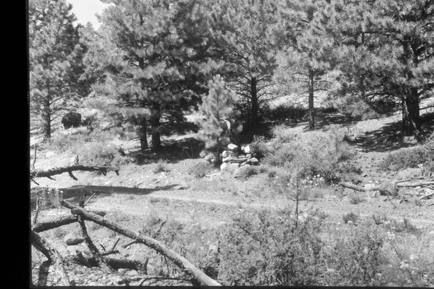
Plate 380X. Roger Peak 1943 - 1948 - 1953 - 2003 The Roger Peak Photo Plot Transect was established in 1943 and reread in 1948, 1953, 1974, and 1979. The transect is situated along the Hell’s Backbone Road on the southside of Boulder Mountain. By road, the transect is located three miles east of Pine Creek and three-tenths of a mile west of the old gravel pit turn-off. When the transect was established, the area was very heavily grazed by domestic sheep and erosion was widespread. “Bitterbrush and oakbrush are the [most] common shrubs [on] the transect. Both have been heavily browsed and about 20 percent of the [bitterbrush] and 10 percent of the oak is dead. There are a few patches of tall oakbrush…but the majority…[is] 2-3 feet tall and [is] kept browsed off. Grass is not plentiful on this transect.” Both soil and vegetation trends were described as downward in 1953. After remeasuring the transect in 1974, Dan Baird noted that “the most striking change has been the increase in size and numbers of ponderosa pine.” In 1979, Dr. Jim Bowns, range ecologist at Southern Utah University, reported that “the trend…is definitely up and the condition is good or perhaps even excellent…This is primarily a bitterbrush range, the plant exhibiting exceptional leader growth and therefore good vigor…cattle have [used] this area this year, but utilization has been very light” - - domestic sheep use was discontinued sometime in the 1960s (unpublished reports in the range files on the Escalante Ranger District, Dixie National Forest, Escalante, UT). Plate 380x is viewed northwest to the rock carin on the northside of the Hell’s Backbone Road. The transect starting point (plot D-148) is located 87 feet southwest of the rock carin. During the 1980s, the Hell’s Backbone Road was widened and the rock carin removed. The area was also logged and thinned. Nevertheless, ponderosa pine has increased dramatically, and if the larger trees had not been logged, the transect would now be a closed pine forest with very little understory. Bitterbrush is the most common shrub. After the site was logged, extensive erosion control work was complete - - gullies were plugged and logging roads rehabilitated. Livestock had not used the area in 2003 nor was there any old livestock sign. Deer and elk sign, however, was abundant and many bitterbrush plants were browsed.
Photo Information:
U.S. Forest Service photographs (unnumbered) taken by Ray J. Davis on August 2, 1943; Walter P. Cottam on July 29, 1948; and I.H. Johnson on September 2, 1953; retake by Charles E. Kay on August 30, 2003 - - Photo No. 5274-3. Original photographs, negatives, and narrative reports held in the range files on the Escalante Ranger District, Dixie National Forest, Escalante, UT.
Vegetative Community:
Mountain Brush, Oakbrush, Conifer
Location:
South West: Section 1, Range 2 East, Township 33 South; UTM of transect starting point 445200 E, 4201300 N; elevation 8,860 ft.