Nipple Lake
1944
2004
2004

Description:
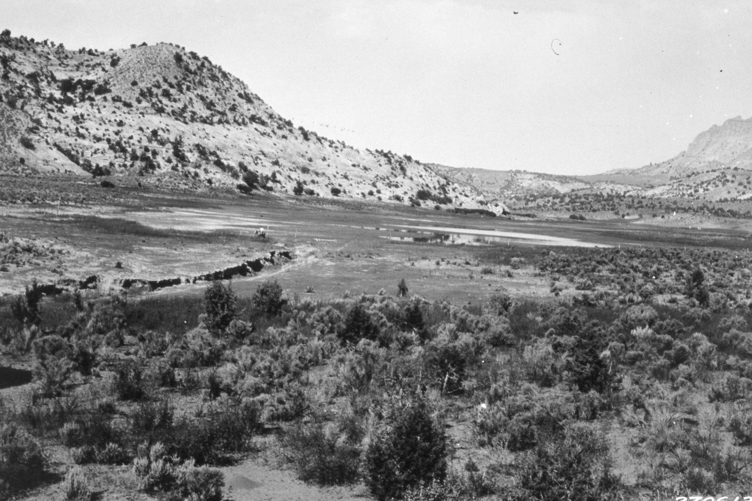
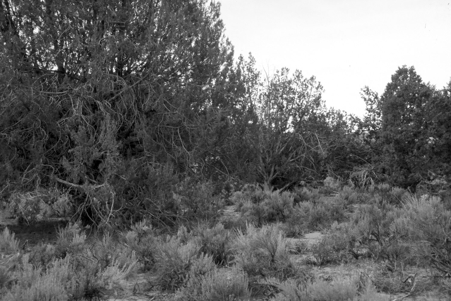
Plate 457X. Nipple Lake 1932 – 2004 – 2004 Viewed southwest to the outlet of Nipple Lake at the head of Kitchen Canyon. The first retake was made from the original camera station and as can be seen, pinyon and juniper now block the view of Nipple lake. Thus, a second retake was made from the nearest open area, which is at a slightly lower elevation and about 100 yards closer to the lake. The second retake shows that a low dam has been built across the outlet to eliminate headwall cutting and to raise the lake level. The arroyo seen in the original image has stabilized and naturally revegetated despite continued cattle grazing. Pinyon and juniper have increased in the distance. Note the horseman in the initial image for scale. Today, the bottom of the arroyo is covered by a lush growth of sedges, rushes, and horsetails. The lake is spring fed at various locations along its margin. The area around the lake is private, while the surrounding BLM lands are now part of the Grand Staircase – Escalante National Monument.
Photo Information:
U.S. Forest Service photograph (270613) taken by Reed W. Bailey in 1932; retake by Charles E. Kay on May 17, 2004 - - Photo Nos. 5317-8 and 5317-11. Original photograph held by the Utah Historical Society, Reed W. Bailey Collection (Box 5), Salt Lake City, UT.
Vegetative Community:
Pinyon, Juniper, Riparian
Location:
South West: Section 29, Range 2 West, Township 40 South; UTM 406600 E, 4128700 N; elevation 5,560 ft.