Midway Valley
1943
1948
1953
Description:
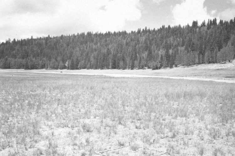
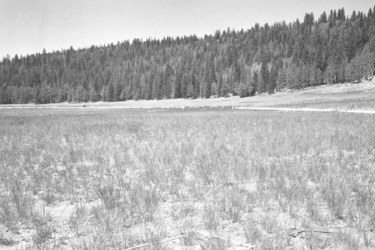
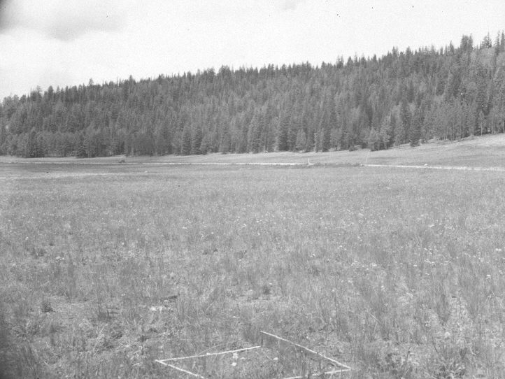
Plate 1089X. Midway Valley 1943 – 1948 – 1953 – 2005 This Photo Plot Transect was established by the Forest Serivce in 1943 to monitor range conditions in Midway Valley. According to early narrative reports, the area was very heavily grazed by domestic sheep when the transect was established. In 1943, Cottam noted that “This meadow shows past heaving use. The grass clumps are in the main mounded 1-2 inches above the soil which lies between them. The soil on the unprotected spots shows common erosion pavement.” While in 1948, Cottam reported that “From the standpoint of forage and soil protection, the area seems definitely to have deteriorated during the past five years,…[despite] rather heavy reductions in grazing use…[that have] been made.” After remeasuring the transect in 1953, I.H. Johnson found that “The vegetative trend continues downward in spite of the additions of other range and a considerable lightening of grazing use over the past ten years. The further decline in sedge and the better grasses while inferior letterman needlegrass, yarrow…and dandelion continue to increase, is definite indication that trend is still unsatisfactory….[In addition] The soil trend is downward….” In 1978, though, Dr. Jim Bowns observed that “The area is now in good condition and is properly used by sheep during July and August. A fairly good species composition is now present on this meadow. The trend has been up since the transect was established.” Plate 1089x is viewed west-northwest from the end of the Photo Plot Transect back to the transect’s starting point - - see Plate 1088X. Utah Highway 14 has been widened and paved. The foreground in the 2005 retake has been disturbed by road construction - - it apparently was used as a staging area. In the distance spruce has increased, while aspen has declined. Many of the older spruce, though, were recently killed by insects and disease. Some aspen stands on the north (left) edge of the meadow regenerated 30 years ago when mule deer numbers were low (Kay and Bartos 2000). The area was actively being grazed by sheep in 2005.
Photo Information:
U.S. Forest Service photographs (unnumbered) taken by W.P. Cottam on August 7, 1943 and August 11, 1948, and by I.H. Johnson on July 15, 1953; retake by Charles E. Kay on August 31, 2005 - - Photo No. 5536-32. Original photographs, negatives, and narrative reports held in the range files on the Cedar City Ranger District, Dixie National Forest, Cedar City, UT.
Vegetative Community:
Dry Meadow, Conifer, Aspen
Location:
South West: Section 25, Range 9 West, Township 37 South; UTM of transect starting point 339000 E, 4160000 N; elevation 9,760 ft.