Long Lake
1935
2002
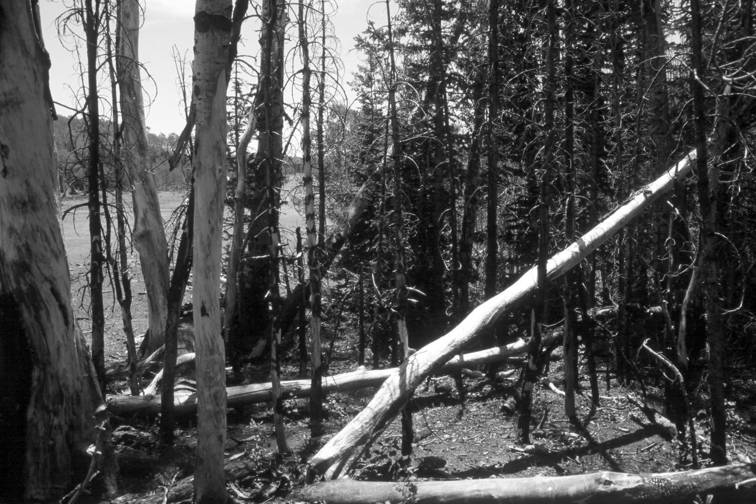
Plate 18X
Description:
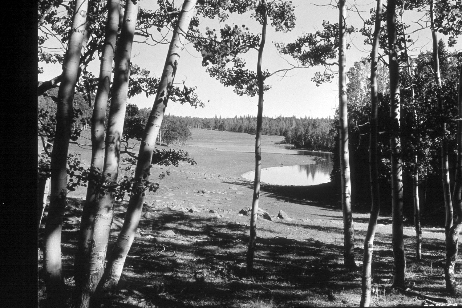
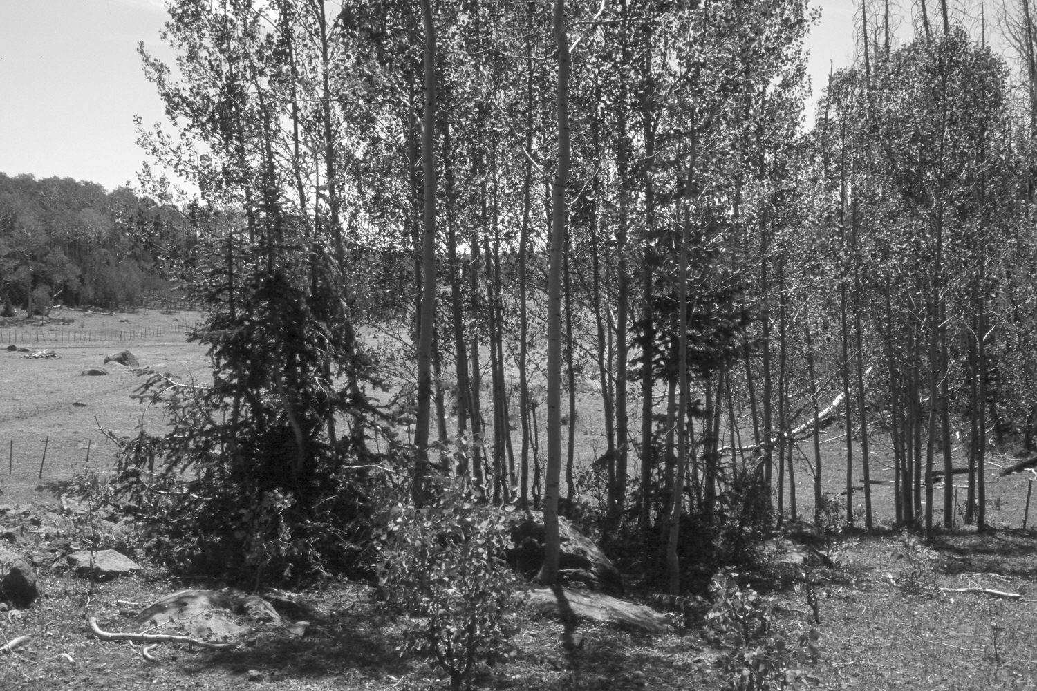
Plate 18X. Long Lake 1935-2002 Viewed southwest across Long Lake on the eastern flank of Boulder Mountain. The first retake was made at the original camera station and shows how that aspen stand was invaded by conifers prior to being overrun by a recent wildfire. The camera was moved forward for the second retake and shows the two boulders seen in the center of the original photograph. Note how aspen extended out into that site 25 years ago when mule deer populations declined (Kay and Bartos 2000). Spruce have now begun to invade that area. Retake number three was made approximately 100 feet south of the second retake and shows Long Lake. Conifers have invaded most of the aspen stands to the west (photo right) of the lake, while the nearest stand was killed by wildfire within the last five years. There, aspen has successfully regenerated. Aspen to the left of the lake regenerated about 25 years ago when deer numbers were low. New allotment fences have been added and an ATV trail now parallels the lake on the left. The area was heavily grazed by cattle in 2002, and drought has lowered the lake level from that seen in the earlier photo.
Photo Information:
U.S. Forest Service photograph 308658 taken by K.D. Swan on September 24, 1935; retakes by Charles E. Kay on July 7, 2002 - - Photo Nos. 4959-16, 4959-20, and 4959-23. Original photo held by the Utah Historical Society, Reed W. Bailey Collection, Salt Lake City, UT.
Vegetative Community:
Conifer, Aspen
Location:
South West: Section 33, Range 5 East, Township 31 South; UTM 469200E, 4212320N; elevation 9,980 ft.