Escalante River
ca. 1930
2002
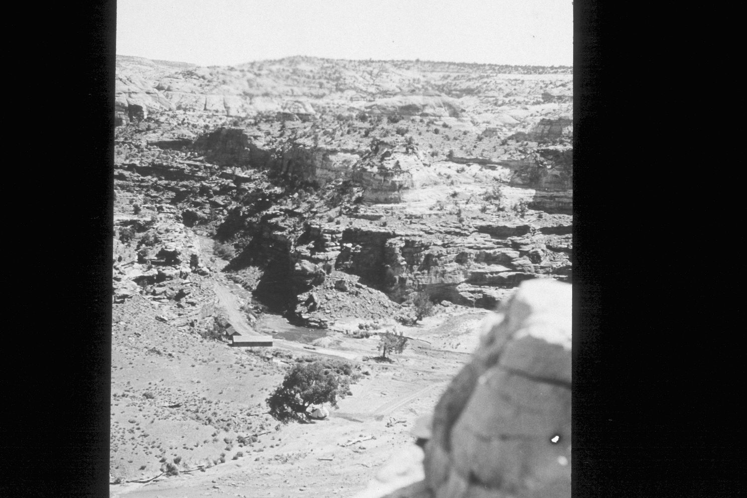
Plate 55X
Description:
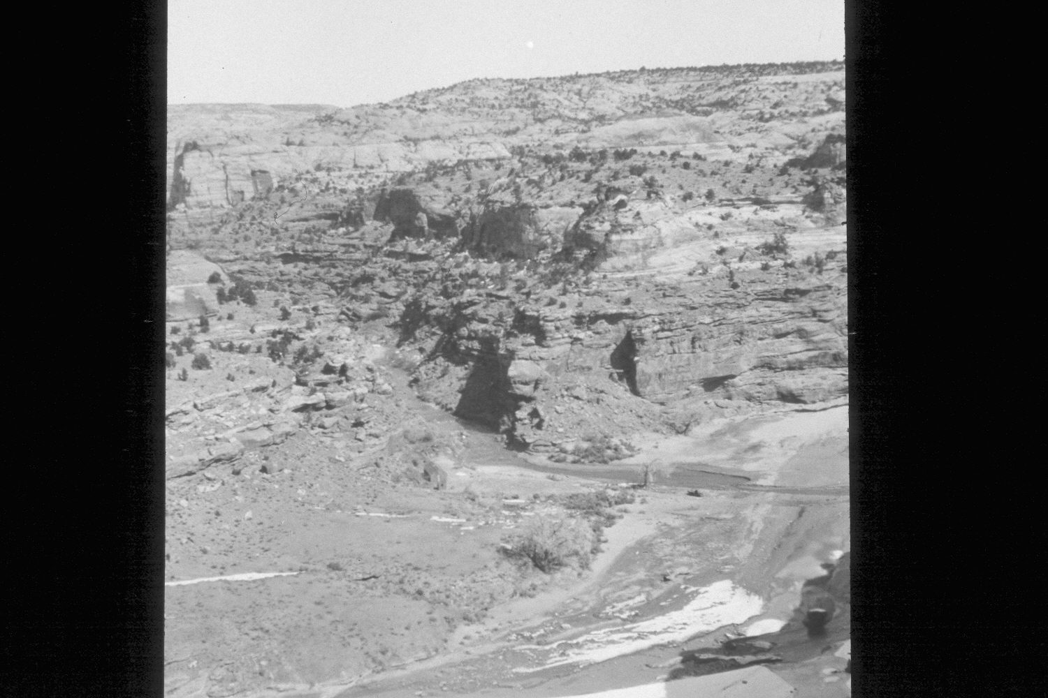
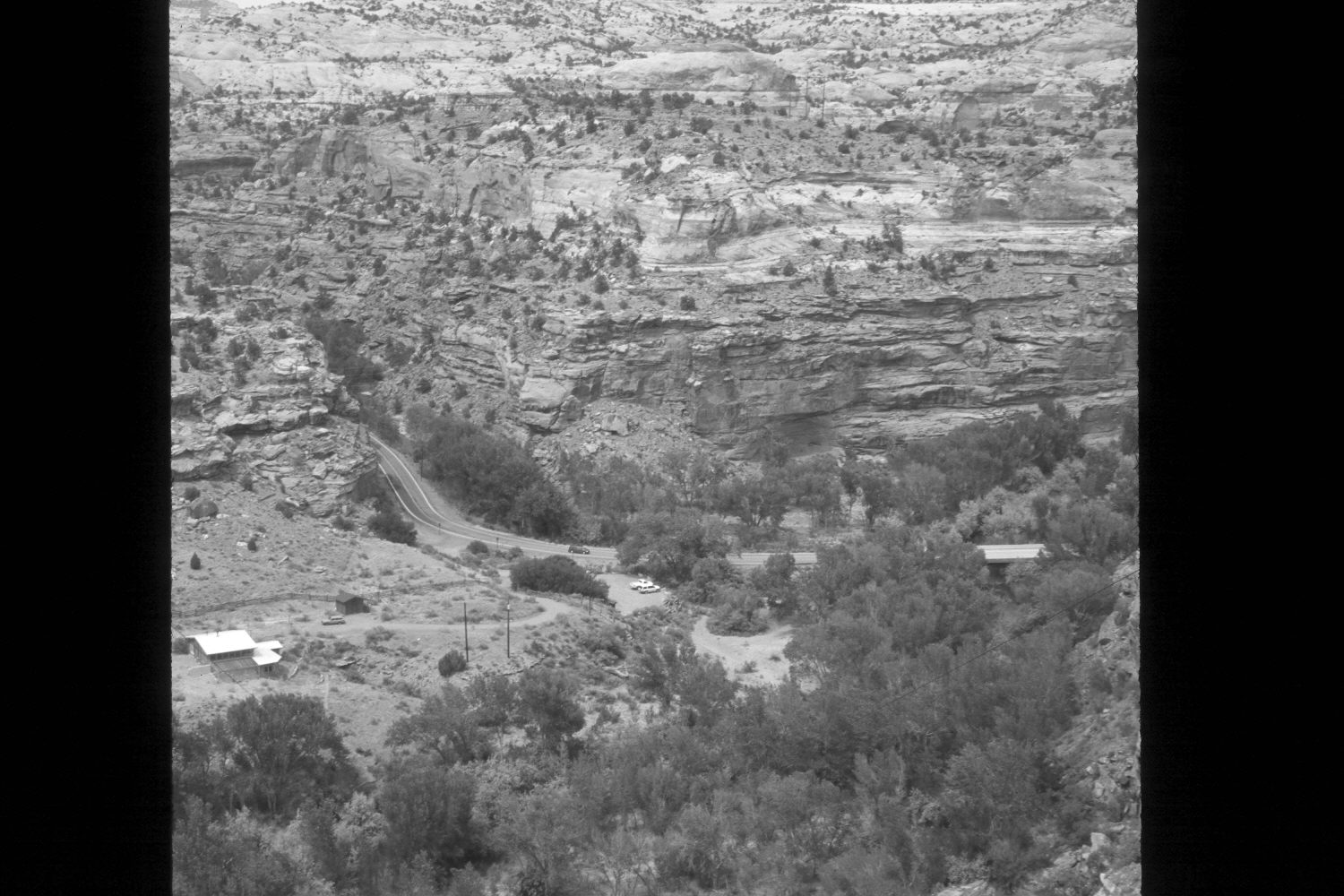
Plate 55X. Escalante River ca. 1930-2002 Viewed east-northeast to the confluence of Calf Creek and the Escalante River from the overlook on Utah Highway 12. This is similar to Plates 53X and 54X except the first original was taken before the initial bridge was contructed over the Escalante River or the road built up Calf Creek. The first original was also taken in late winter or early spring, as snow remains in the shadows. The second original was likely taken later that summer - - note the road rough-out up Calf Creek, the CCC barracks, and the wall tent under the largest cottonwood. Woody riparian vegetation is virtually absent in the earliest photos, unlike conditions today. Most of the plants are willows and cottonwoods. Very little tamarisk is present. Pinyon-juniper has also increased.
Photo Information:
U.S. Forest Service photograph (unnumbered) taken ca. 1930; retake by Charles E. Kay on July 10, 2002 - - Photo No. 4973-23. Original photograph held by Southern Utah University Archives and Special Collections, Cedar City, UT.
Vegetative Community:
Riparian, Pinyon, Juniper
Location:
South West: Section 12, Range 4 East, Township 35 South; UTM 462900E, 4180400N; elevation 5,550 ft.