The Gut
1921
2004
Description:
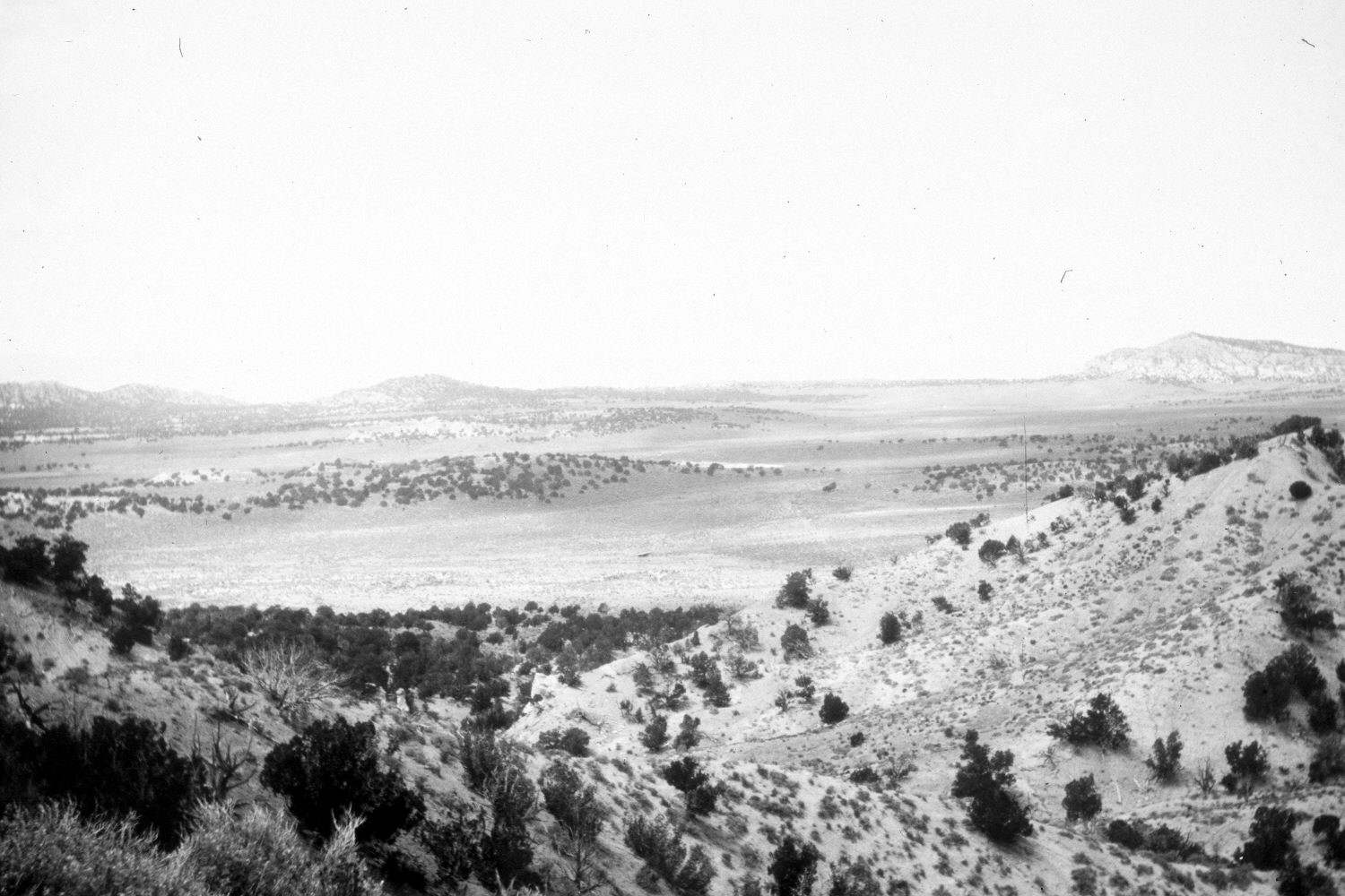
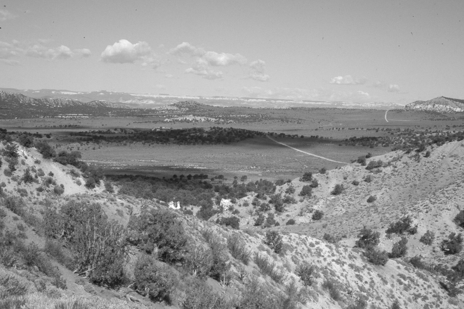
Plate 431X. The Gut 1921 – 2004 Viewed west across Cottonwood Creek and Butler Valley from the ridge north of The Gut. Plates 431x and 432x form a panorama. Round Point (6,922 ft.) is on the right skyline - - see Plates 433x, 434x, and 435x. Pinyon and juniper have increased. Shrubs in the valleys are primarily Wyoming big sage, greasewood, four-wing saltbrush, and rubber rabbitbrush, while cliff rose and silverberry are found on the steeper slopes. Some of the valley bottoms were root-plowed and reseeded with crested wheatgrass. Access roads are visible in the retake.
Photo Information:
Original photograph taken by R.C. Moore (No. 143) in 1921; retake by Charles E. Kay on May 13, 2004 - - Photo No. 5302-11. Original photograph held by the U.S. Geological Survey Photographic Library, Denver, CO.
Vegetative Community:
Pinyon, Juniper, Sagebrush
Location:
South West: Section 6, Range 1 East, Township 39 South; UTM 427100 E, 4144800 N; elevation 6,400 ft.