Tantalus Flat
1965
2002
Description:
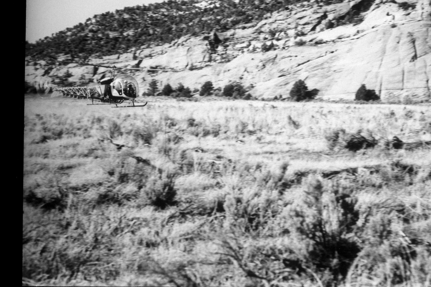
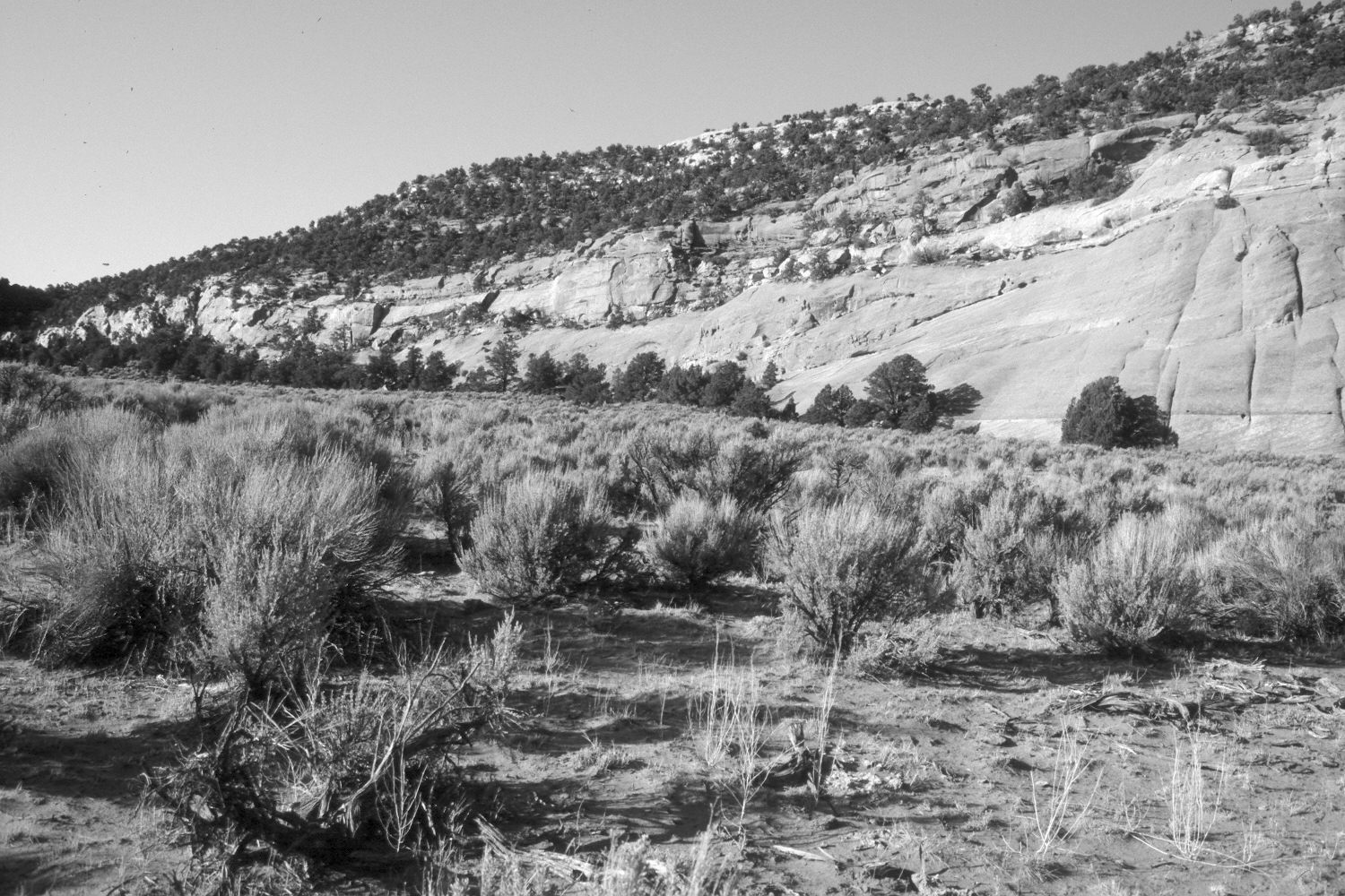
Plate 5X. Tantalus Flat 1965-2002 Viewed southeast across Tantalus Flat on the lower eastside of Boulder Mountain. Note the helicopter in the original spraying herbicide to kill the woody plants. Despite that treatment, though, big sagebrush is more common in the retake. Pinyon and juniper have increased at the base of the cliff. Grasses have declined due to competition with sagebrush, as well as the extended drought.
Photo Information:
Original photograph by the U.S. Forest Service (unnumbered) in May 1965; retake by Charles E. Kay on July 6, 2002 - - Photo No. 4953-12. Original photo held by Southern Utah University Archives and Special Collections, Cedar City, UT.
Vegetative Community:
Pinyon, Juniper
Location:
South West: Section 2, Range 6 East, Township 31 South; UTM 481300E, 4220800N; elevation 6,520 ft.