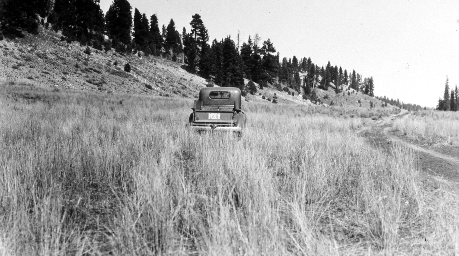
Swains Creek
1945
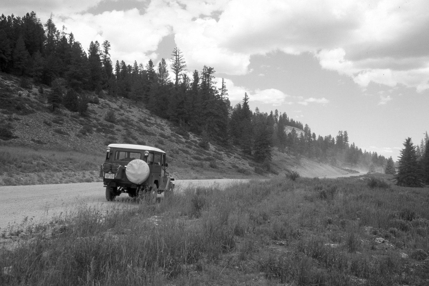
2004
Description:
Plate 564X. Swains Creek 1945 – 2004 Viewed north-northeast down Swains Creek about a half mile below Harris Spring Hollow. According to the caption on the original photo, this area was reseeded to crested wheatgrass, intermediate wheatgrass, and smooth brome by the Forest Service in 1940. The road has been realigned and widened. The rock cut for Utah Highway 14 can be seen in the distance. Conifers, primarily spruce, white fir, and ponderosa pine, have increased, while aspen has declined. Pinyon and juniper have also increased. Rubber and green rabbitbrush have invaded the seeding.
Photo Information:
U.S. Forest Service photograph taken on October 19, 1945; retake by Charles E. Kay on August 7, 2004 - - Photo No. 5369-33. Original photograph held by Southern Utah University Archives and Special Collections, Cedar City, UT.
Vegetative Community:
Mountain Brush, Conifer, Aspen, Pinyon, Juniper
Location:
South West: Section 22, Range 7 West, Township 38 South; UTM 357400 E, 4149650 N; elevation 7,730 ft.