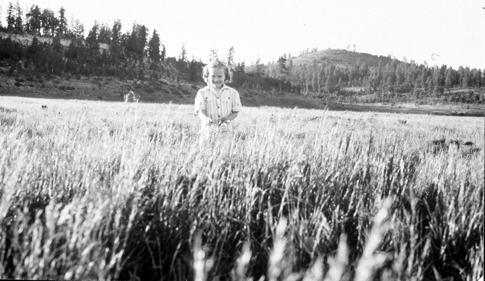
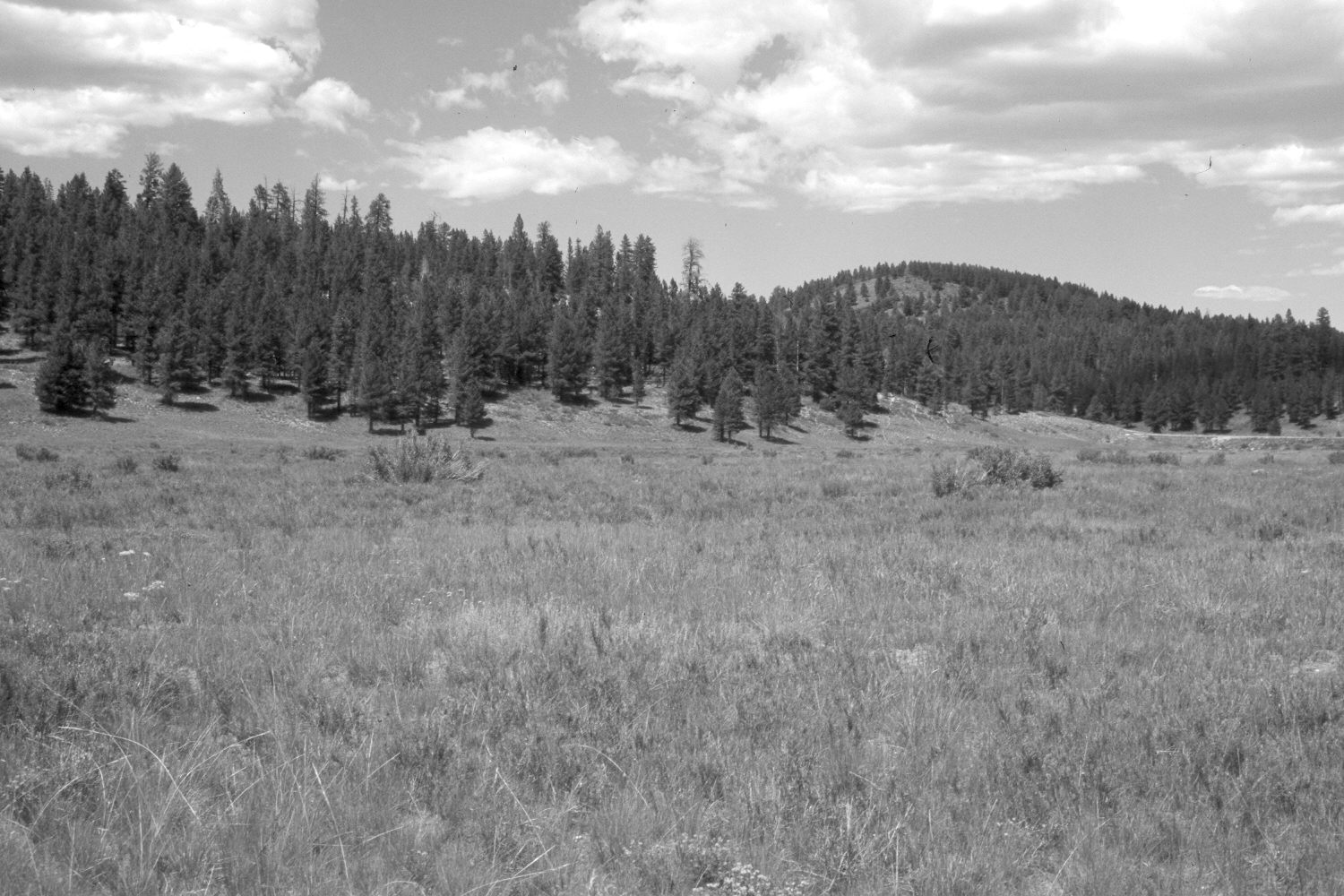
Strawberry Valley
1941
2004
Description:
Plate 581X. Strawberry Valley 1941 – 2004 Viewed northwest across the lower portion of Strawberry Valley to Strawberry Knolls. Utah Highway 14 is visible in the retake - - photo right-center edge. The area in the foreground was root-plowed and reseeded with crested wheatgrass, smooth brome, and Kentucky bluegrass in 1936. Green rabbitbrush has invaded the seeding, which was grazed by domestic sheep in 2004. The taller shrubs are currants. Ponderosa pine has increased. Native needle and thread grass is also present.
Photo Information:
U.S. Forest Service photograph taken by Blaine Betenson on July 13, 1940; retake by Charles E. Kay on August 8, 2004 - - Photo No. 5374-20A. Original photograph held by Southern Utah University Archives and Special Collections, Cedar City, UT.
Vegetative Community:
Dry Meadow, Conifer
Location:
South West: Section 15, Range 7 West, Township 38 South; UTM 356350 E, 4151850 N; elevation 8,040 ft.