Steep Creek
1935

2002
Description:
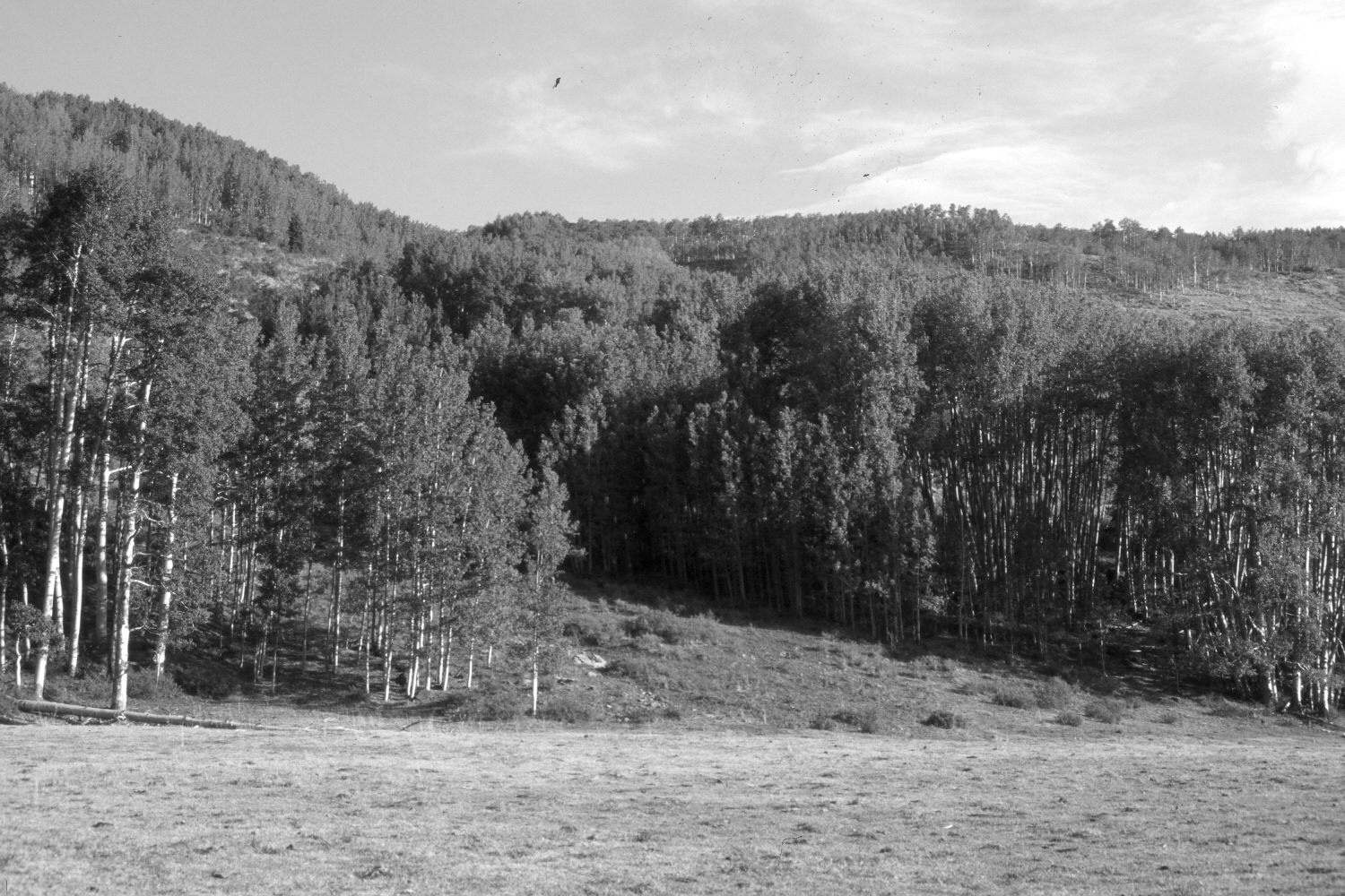
Plate 33X. Steep Creek 1935-2002 Viewed north-northeast across Steep Creek meadow on the southern flank of Boulder Mountain - - note the domestic sheep in the original. This area is part of the Steep Creek Watershed Project, which was contour-trenched, gully-plugged, and reseeded by the Forest Service in 1962 to improve range conditions - - see Plates 21x to 24x. Sheep use has been eliminated, but the area was heavily grazed by cattle in 2002. Most aspen stands regenerated during the late 1970’s when mule deer numbers were low, but not since due to repeated browsing of aspen suckers by elk, cattle, and deer (Kay and Bartos 2000). Snowberry has increased on the distant hillside - - this likely is due to the elimination of domestic sheep use, as sheep graze this shrub, more so than do cattle.
Photo Information:
U.S. Forest Service photograph 307762 taken by K.D. Swan in August 1935; retake by Charles E. Kay on July 9, 2002 - - Photo No. 4964-19. Original photograph held by Southern Utah University Archives and Special Collections, Cedar City, UT.
Vegetative Community:
Aspen, Mountain Brush
Location:
South West: Section 15, Range 5 East, Township 32 South; UTM 469300E, 4208500N; elevation 9,260 ft.