Signal Peak
1920
2001
Description:
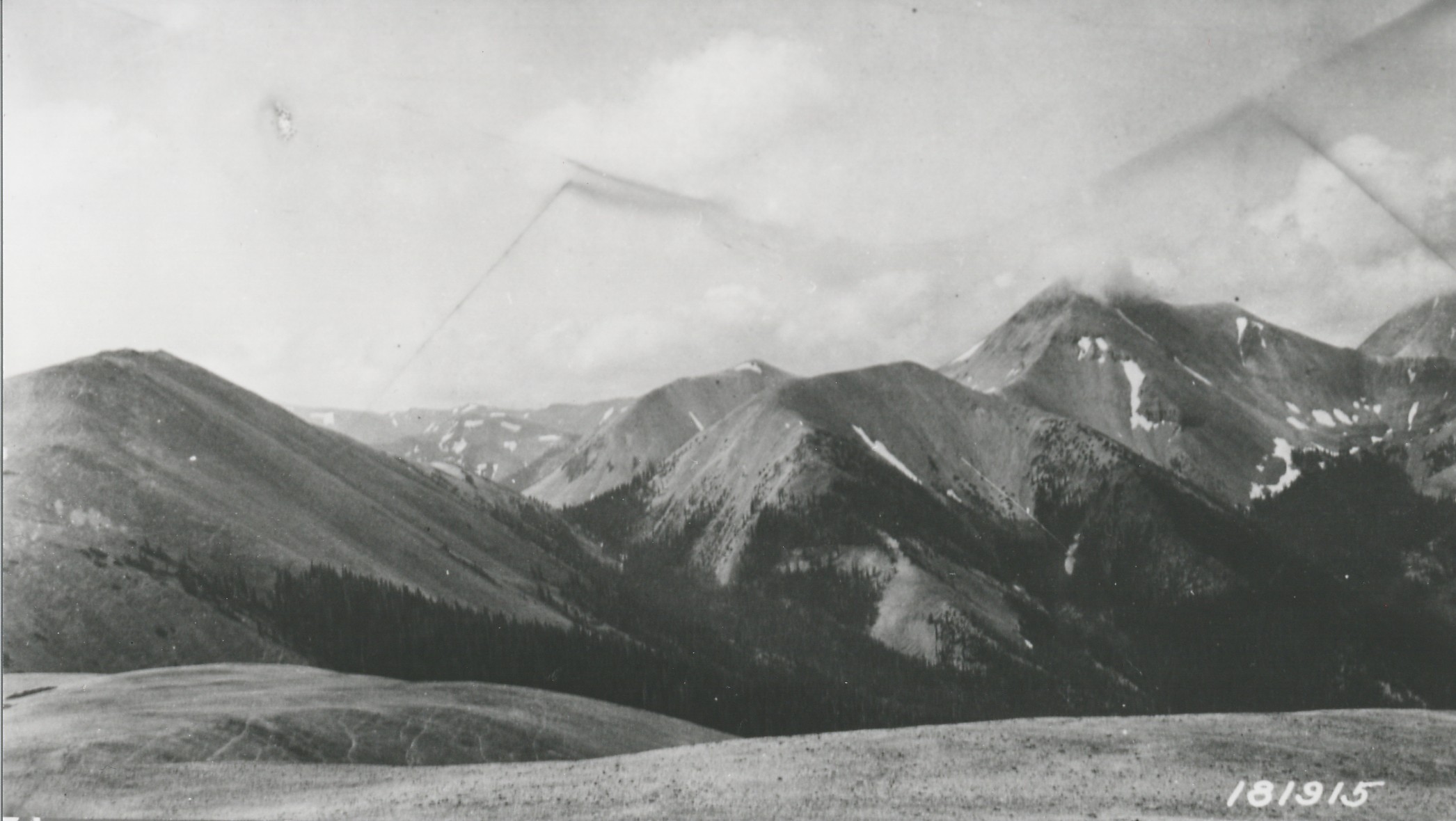
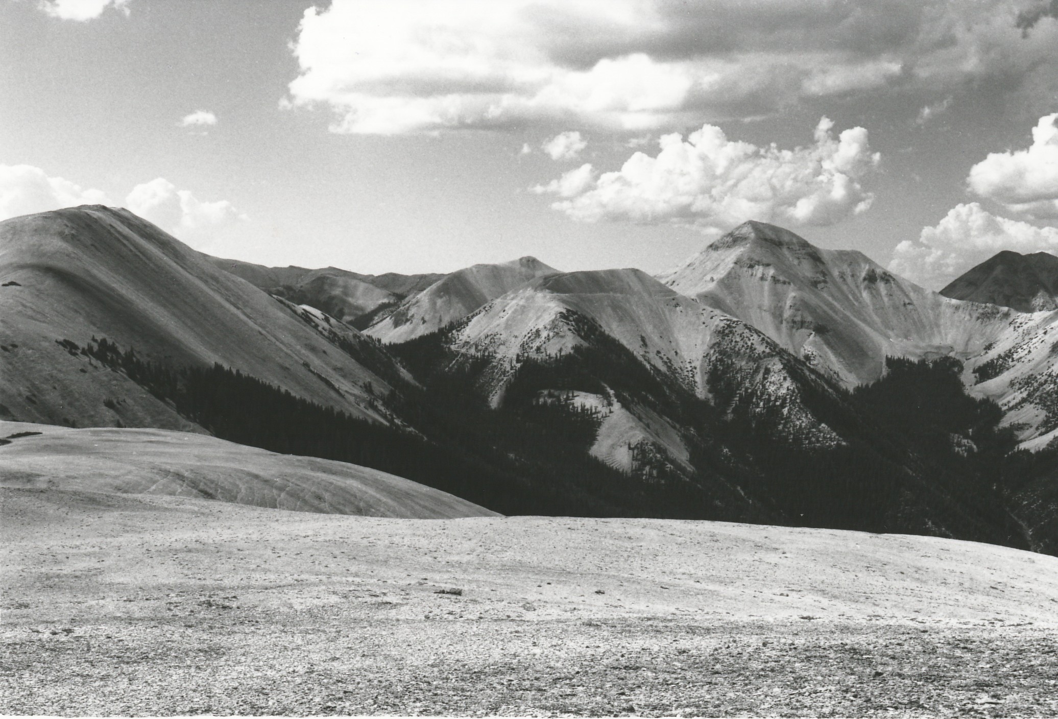
Plate 321. SIGNAL PEAK TUSHER MOUNTAINS 1920-2001 Plates 321 and 322 form a panorama from Signal Peak in the Tusher Mountains. Plate 321 is viewed south-southwest across the head of Fish Creek to Gold Mountain (left - - 11,650 ft), Mount Belknap (center-right - - 12,137 ft), and Mount Baldy (right - - 12,122 ft). Conifers, primarily spruce, have increased in height and numbers, but upper treeline appears unchanged. Much of the area is naturally unvegetated talus. Note the domestic sheep trails in the original that are still present today although the area has not been grazed by livestock for many years.
Photo Information:
U.S. Forest Service photo 181915 ca. 1920; retake by Charles E. Kay on August 12, 2001 - - Photo No. 4874-3; Original photo (2310-Fishlake-30) held by the Forest Service Regional Office Photographic Collection housed at Weber State University, Ogden, UT and the National Archives (8G-95-G-181915) in Washington, D.C.
Vegetative Community:
Conifer
Location:
South Central: Section 14, Range 5 W, Township 27 S; UTM 377850 E, 4257750 N; elevation 11,300 ft.