Sevenmile Creek
1967
2000
Description:
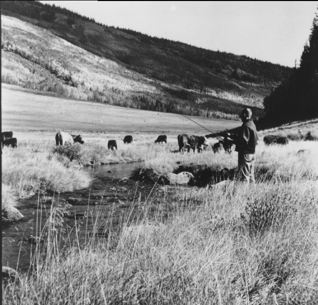
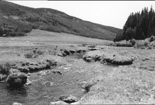
Plate 188. SEVENMILE CREEK 1967-2000 Plates 187-190 are similar in that they are all viewed southwest down Sevenmile Creek. When the original photographs were made, Plates 187-188 were taken immediately below a pole exclosure, while 189-190 were taken inside the fenced area. That exclosure has now been removed and today the area is more heavily grazed by cattle than it was in the past. There have also been minor changes in the stream channel in all plates. Conifers on the distant hillsides have increased, while aspen has declined.
Photo Information:
U.S. Forest Service photo (unnumbered) taken in September 1967; retake by Charles E. Kay on July 27, 2000 - - Photo No. 4637-15. Original photo (2350.3 Fishlake-521) held by the Forest Service Regional Office Photographic Collection housed at Weber State University, Ogden, UT.
Vegetative Community:
Conifer, Aspen, Riparian
Location:
South Central: Section 2, Range 2 E, Township 25 S; UTM 442100 E, 4279000 N; elevation 9,260 ft.