Sagebrush Control
1964
2000
Description:
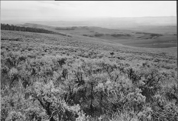
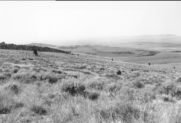
Plate 214. SAGEBRUSH CONTROL 1964-2000 Plates 213 and 214 form a panorama with Plate 213 viewed to the south. The Forest Service sprayed this area in 1964 to eliminate sagebrush, and judging by the adjacent photo (Plate 213), most sagebrush was killed by 1968. Sagebrush, however, gradually reinvaded the site and part of the area was prescribed burned by the Forest Service during the early 1990’s. Visible in the retake is USFS Road 352. The area between the photopoint and the road was burned, while the area beyond the road was not burned. Snowberry is intermixed with sagebrush.
Photo Information:
U.S. Forest Service photo (unnumbered) taken in June 1964; retake by Charles E. Kay on July 30, 2000 - - Photo No. 4649-2; Original photo held by the Loa Ranger District, Fishlake National Forest, Loa, UT.
Vegetative Community:
Sagebrush, Mountain Brush
Location:
South Central: Section 26, Range 1 E, Township 26 S; UTM 432750 E, 4263800 N; elevation 9,560 ft.