Rock Spring Draw
1902
2002
Description:
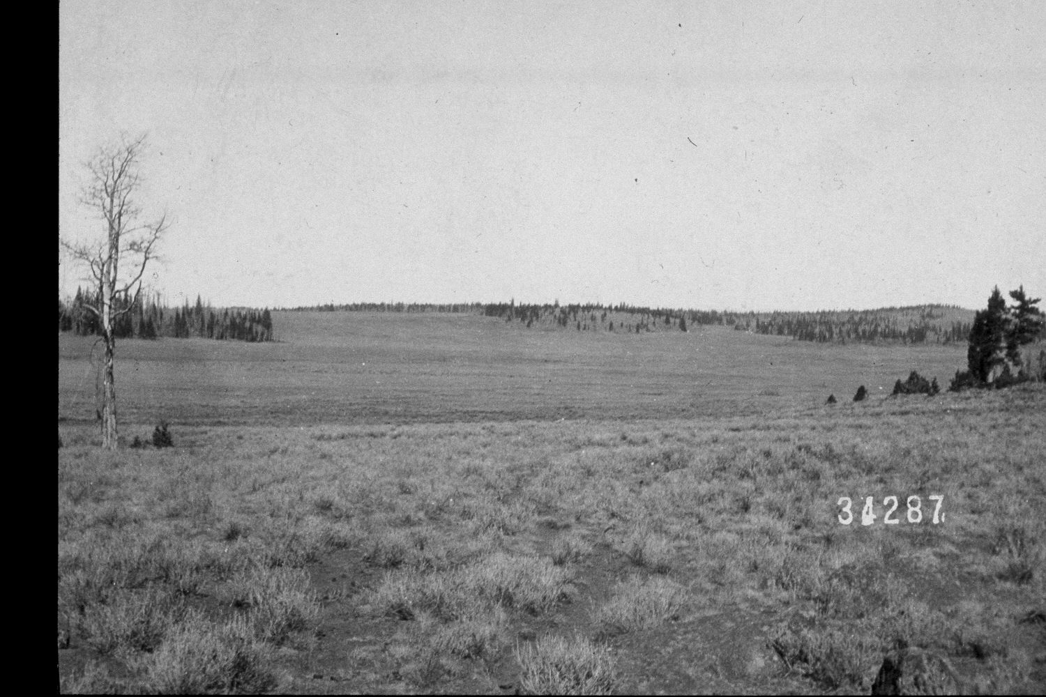
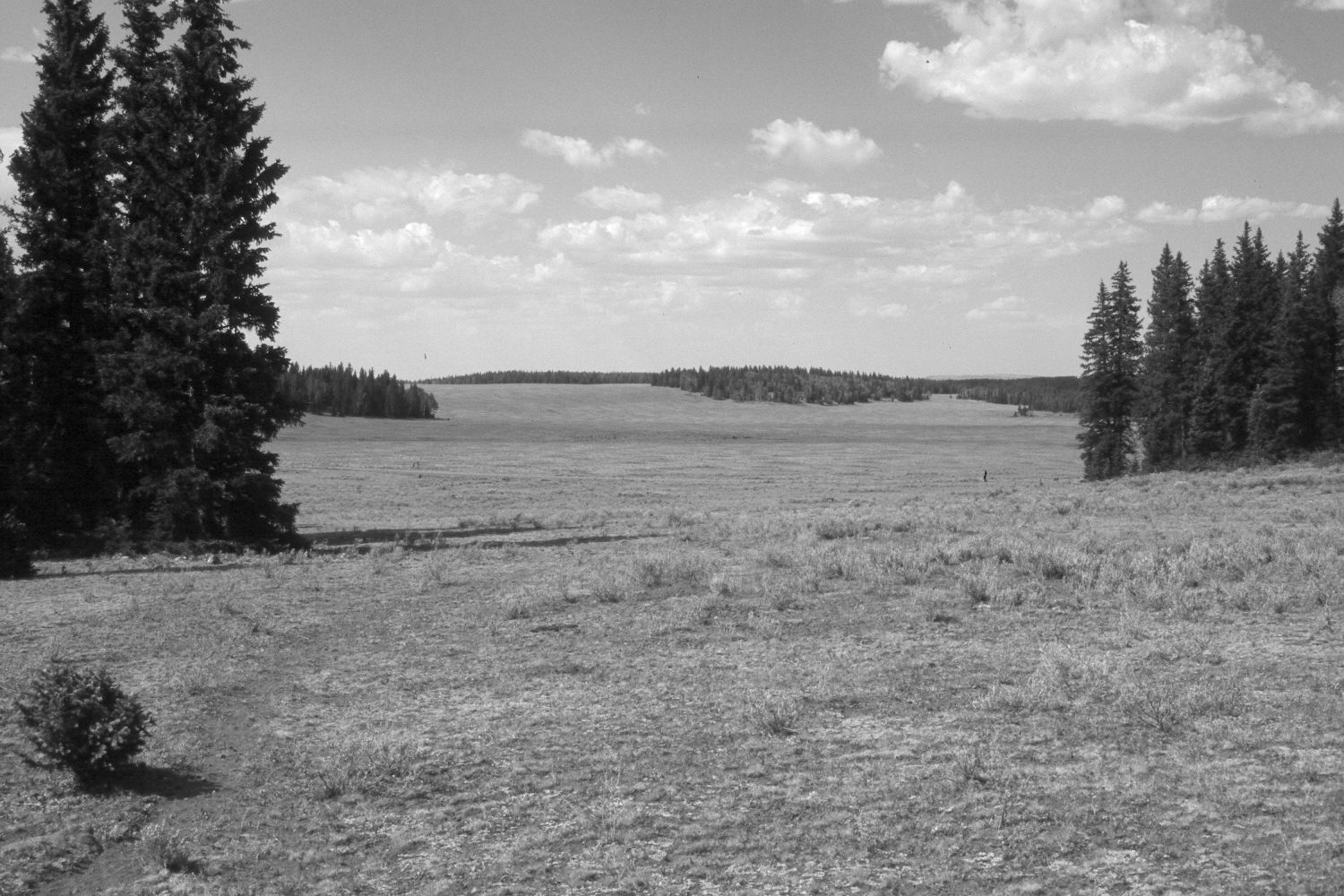
Plate 74X. Rock Spring Draw 1902-2002 Viewed northeast at the head of Rock Spring Draw on the Awapa Plateau. Aspen has declined markedly, while conifers, primarily spruce, have increased. Silver sage in the foregroud appears to have declined. The area was heavily grazed by cattle in 2002. Antelope are also common in the valley. Two new roads are visible in the retake. The Loa to Escalante Road (USFS 154) is nearest the camera, while the Rock Spring Draw-Dark Valley Road (USFS 285) is in the distance.
Photo Information:
U.S. Forest Service photograph 34287 taken by A.F. Potter on October 18, 1902; retake by Charles E. Kay on July 11, 2002 - - Photo No. 4981-15. Original photograph held by Southern Utah University Archives and Special Collections, Cedar City, UT.
Vegetative Community:
Aspen, Conifer, Sagebrush
Location:
South West: Section 33, Range 2 East, Township 31 South; UTM 439500E, 4212400N; elevation 9,910 ft.