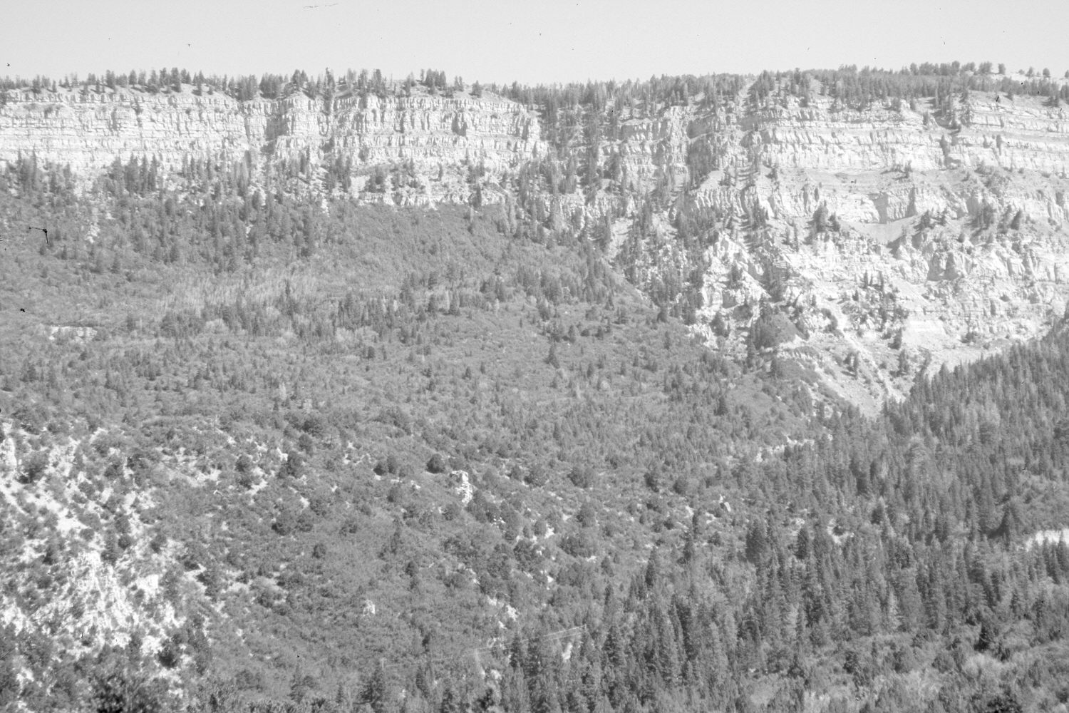
Right Hand Creek
1906
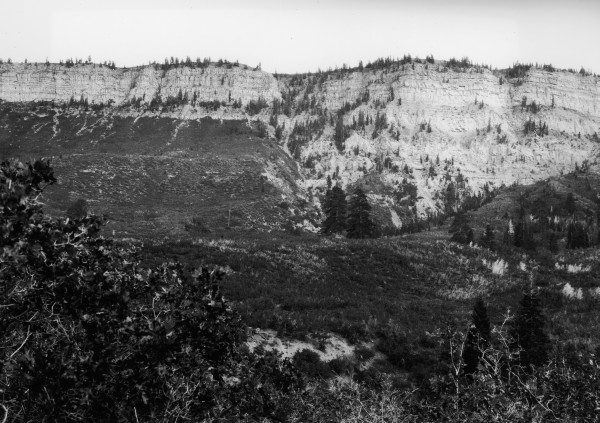
2006
Description:
Plate 1335X. Right Hand Creek 1906 – 2006 Viewed east-southeast across Right Hand Creek. Woody vegetation now obscures the original camera station, so the retake was made from the nearest open area, which, unfortunately, is more than one half mile away on the Cedar Mountain – Kolob Reservoir Road. Thus, the retake is a rather poor match, but it is the best that could be done under the circumstances. Conifers, oakbrush, pinyon, juniper, and other mountain brush species have all increased, as have forest fuels.
Photo Information:
Original photograph taken by Lee (No. 224) in 1906; retake by Charles E. Kay on July 15, 2006 - - Photo No. 5693-24. Original photograph held by the U.S. Geological Survey Photographic Library, Denver, CO.
Vegetative Community:
Conifer, Pinyon, Juniper, Mountain Brush
Location:
South West: Section 32, Range 10 West, Township 36 South; UTM 323300 E, 4166500 N; elevation 7,800 ft.