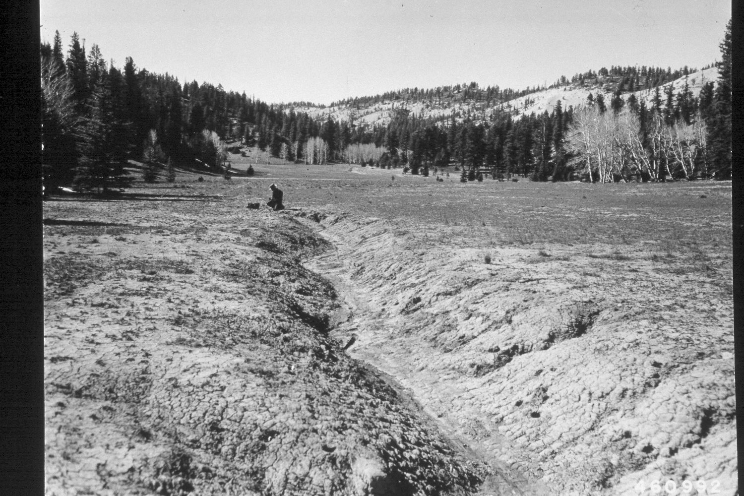
Right Fork Of Blubber Creek
1950
2003
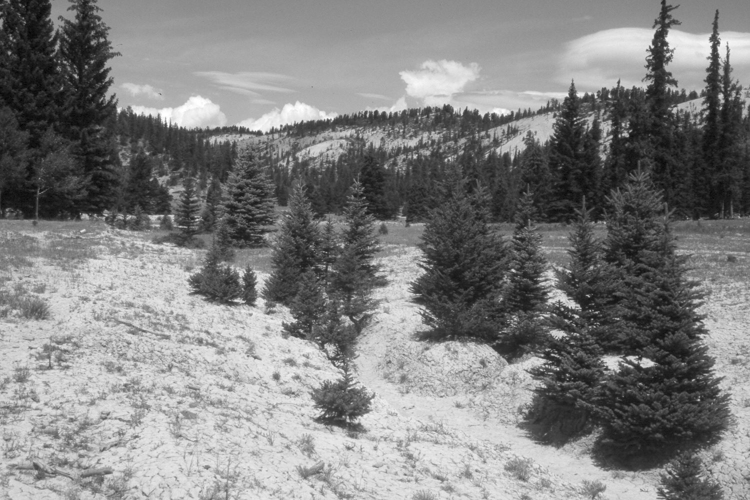
Description:
Plate 288X. Right Fork of Bubber Creek 1950 - 2003 Viewed northwest up the Right Fork of Blubber Creek on the Paunsaugunt Plateau. The area has been contour-trenched, gully plugged, and reseeded with intermediate wheatgrass by the Forest Service to control erosion. The timbered hillsides were logged during the 1960s. Nevertheless, spruce and ponderosa pine have increased, while aspen has declined. The low shrubs are mainly rubber rabbitbrush and shrubby cinquefoil. The area was not grazed by livestock in 2003 when the camera station was revisited.
Photo Information:
U.S. Forest Service photograph (460992) taken on April 24, 1950; retake by Charles E. Kay on August 7, 2003 - - print from color slide. Original photograph held by the Utah Historical Society, Reed W. Bailey Collection (Box 11), Salt Lake City, UT.
Vegetative Community:
Conifer, Aspen, Dry Meadow
Location:
South West: Section 27, Range 4½ West, Township 37 South; UTM 384150E, 4157100 N; elevation 8,250 ft.