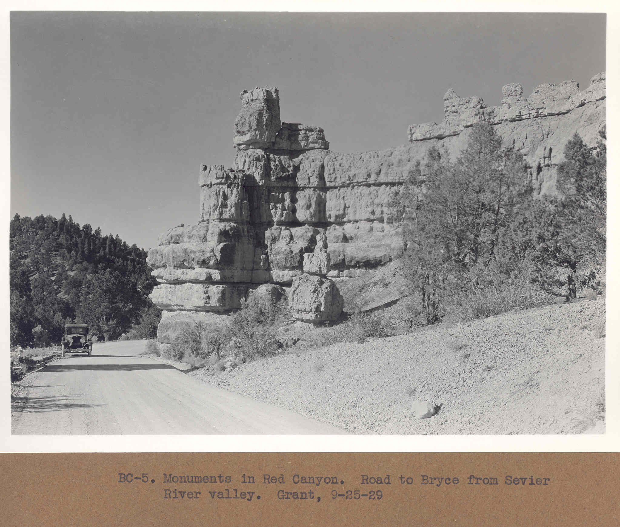
Red Canyon
1929
2006
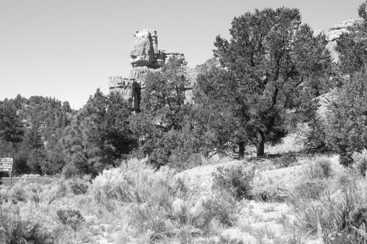
Description:
Plate 1244X. Red Canyon 1929 – 2006 Viewed west down Red Canyon from the second paved parking area below the Forest Service Visitor Center. Utah Highway 12 has been realigned, widened and paved. The old roadbed has naturally revegetated - - mostly with sagebrush. Pinyon, juniper, and ponderosa pine have increased.
Photo Information:
Original photograph taken by Grant (BC-5) on September 25, 1929; retake by Charles E. Kay on June 22, 2006 - - Photo No. 5658-11. Original photograph (Zion 12366) held by the National Park Service, Zion National Park, Springdale, UT.
Vegetative Community:
Sagebrush, Pinyon, Juniper
Location:
South West: Section 22, Range 4½ West, Township 35 South; UTM 383700 E, 4178300 N; elevation 7,190 ft.
January 2018