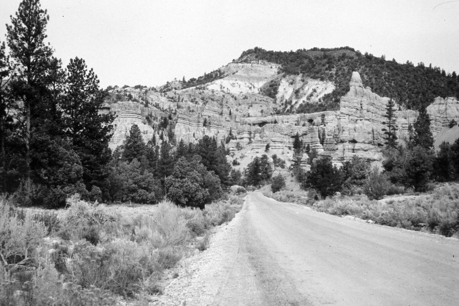
Red Canyon
1939
2003
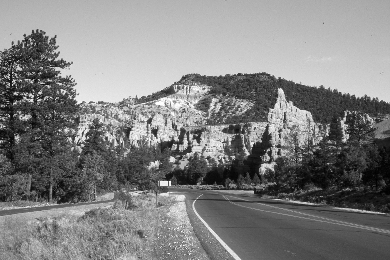
Description:
Plate 144X. Red Canyon 1939-2003 Viewed west-northwest down Red Canyon across from the Forest Service visitor center. Utah Highway 12 has been widened and paved, plus a bike path has been added on the left. Pinyon, juniper, and ponderosa pine appear to have increased except where disturbed by construction.
Photo Information:
U.S. Geological Survey photograph taken by H.E. Gregory (No. 964) in 1939; retake by Charles E. Kay on June 24, 2003 - - Photo No. 5171-10. Original photograph held by U.S. Geological Survey Photographic Library, Denver, CO.
Vegetative Community:
Pinyon, Juniper, Conifer
Location:
South West: Section 27, Range 4½ West, Township 35 South; UTM 384200 E, 4178000 N; elevation 7,220 ft.
January 2018