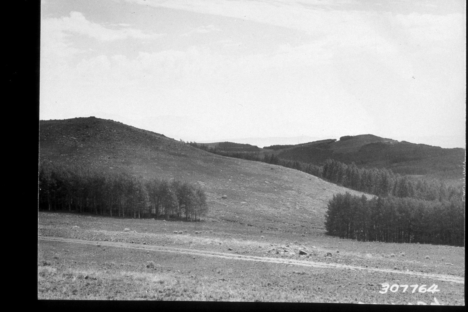
Pole Corral Draw
1935
2002
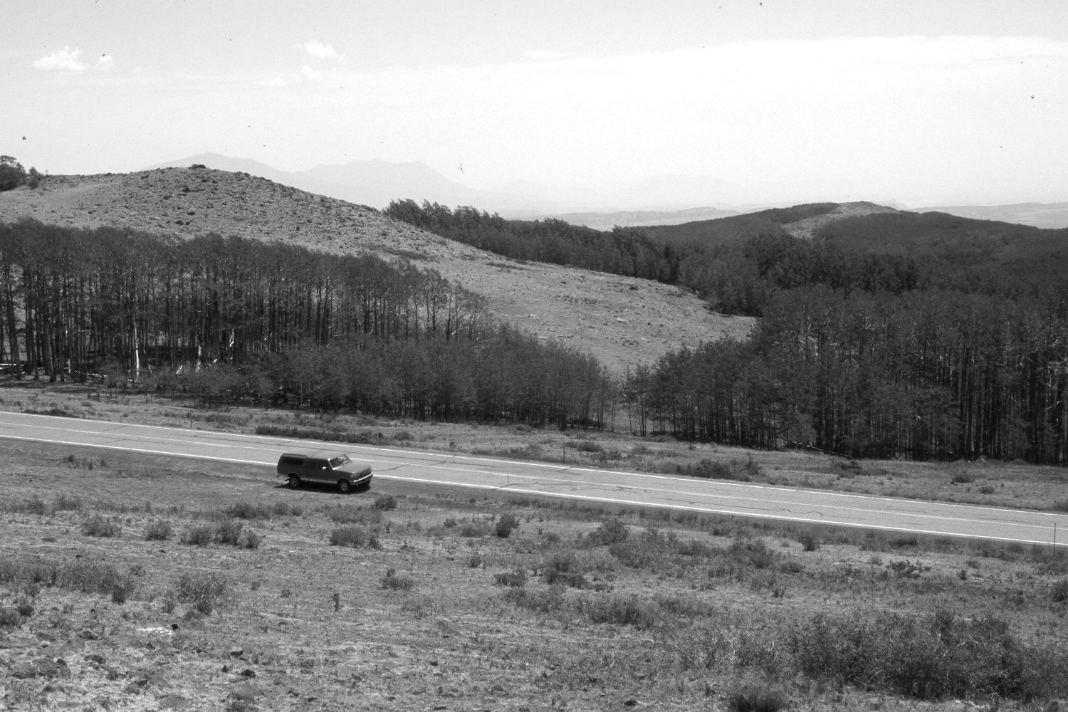
Description:
Plate 34X. Pole Corral Draw 1935-2002 Viewed east down Pole Corral Draw on the eastern flank of Boulder Mountain. Utah Highway 12 has been improved and paved. Snowberry has increased, especially in the foreground. This area was heavily grazed by sheep in the past - - see Plate 20x, but that use has now been eliminated. Instead, the area was heavily grazed by cattle in 2002. Elk and mule deer also use the area. Most aspen stands regenerated during the late 1970’s when mule deer numbers were at record lows, but not since due to excessive herbivory by the combined action of elk, cattle, and deer on aspen suckers (Kay and Bartos 2000). This is part of the climax aspen zone (Mueggler 1988) on the southern and eastern sides of Boulder Mountain.
Photo Information:
U.S. Forest Service photograph 307764 taken by K.D. Swan in August 1935; retake by Charles E. Kay on July 9, 2002 - - Photo No. 4964-24. Original photograph held by U.S. Forest Service Regional Photographic Collection (2310-Dixie-132) housed at Weber State University, Ogden, UT, and Southern Utah University Archives and Special Collections, Cedar City, UT.
Vegetative Community:
Aspen
Location:
South West: Section 2, Range 5 East, Township 32 South; UTM 471350E, 4211500N; elevation 9,530 ft.