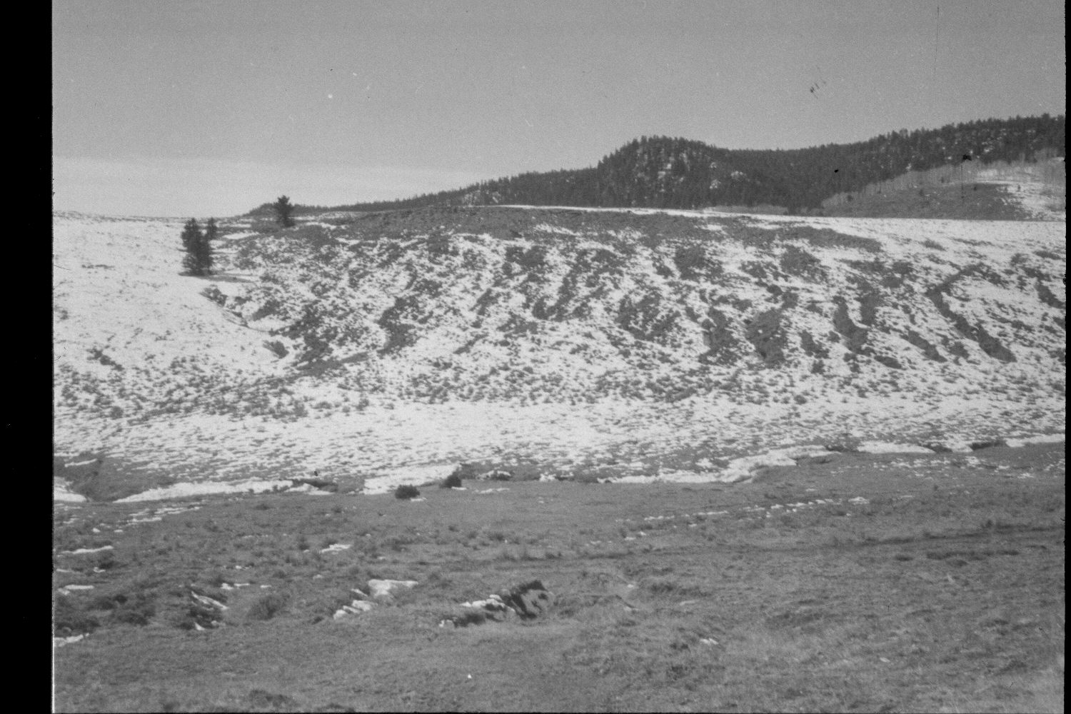
Podunk Creek
1959
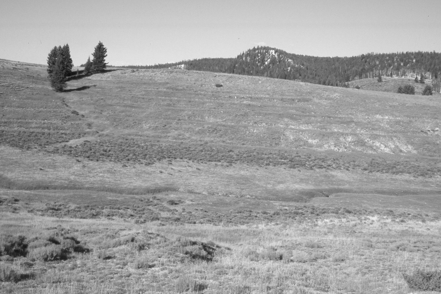
2003
Description:
Plate 297X. Podunk Creek 1959 - 2003 Viewed west across lower Podunk Creek on the Paunsaugunt Plateau. The hills on both sides of the stream have been contour-trenched and reseeded by the Forest Service to control erosion and improve range conditions. The planted grasses are primarily smooth brome and intermediate wheatgrass, while the shrubs are mostly rubber rabbitbrush with some mountain big sage. Ponderosa pine and spruce have increased on the distant hillside, but aspen has declined. The road in the original image has been abandoned and revegetated. The area was not grazed by livestock when the camera station was revisited in 2003. Additional retakes were made by the Forest Service in 1988 and 2000.
Photo Information:
U.S. Forest Service photograph (unnumbered) taken in 1959; retake by Charles E. Kay on August 8, 2003 - - Photo No. 5229-35. Original photograph held in the range files on the Panguitch Ranger District, Dixie National Forest, Panguitch, UT.
Vegetative Community:
Dry Meadow, Sagebrush, Conifer, Aspen
Location:
South West: Section 24, Range 4½ West, Township 38 South; UTM 386120E, 4149950 N; elevation 8,160 ft.