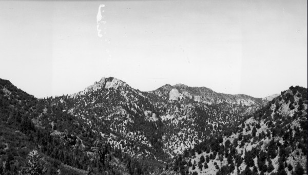
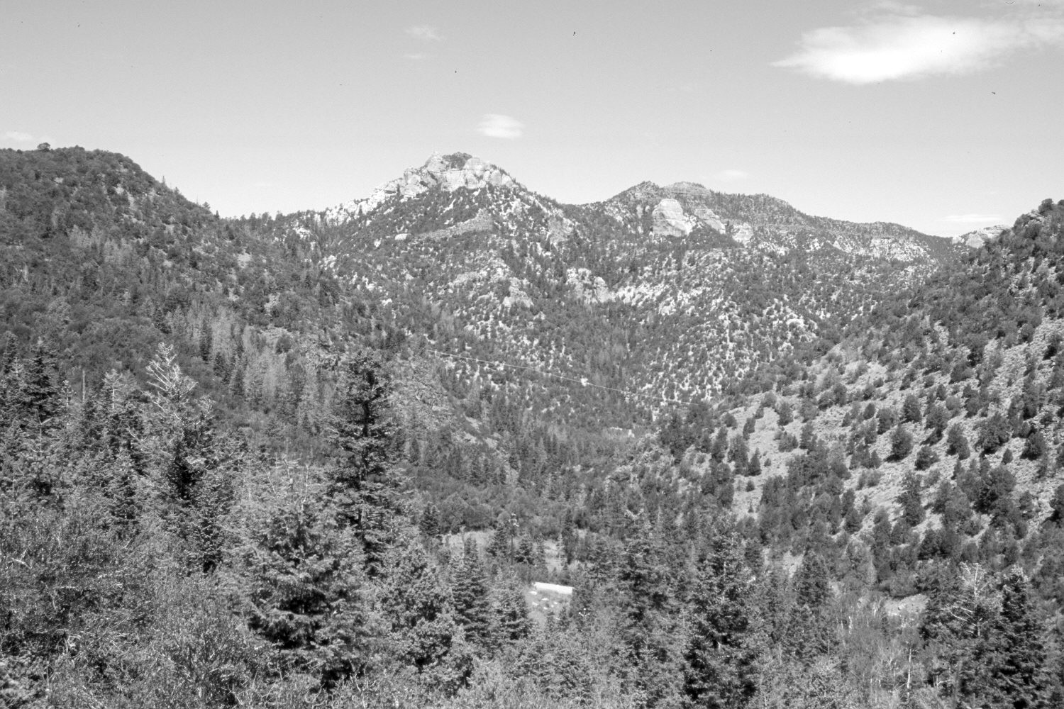
Parowan Canyon
1942
2006
Description:
Plate 1379X. Parowan Canyon 1942 – 2006 Viewed northwest down Parowan Canyon from the Dry Lakes Road. Hole in the Rock (8,759 ft) is on the left skyline. Pinyon, juniper, mountain brush, and conifers have all increased, as have forest fuels. Note the two, small recently burned areas below Hole in the Rock.
Photo Information:
Original photograph taken by Gregory (No. 1104) in 1942; retake by Charles E. Kay on August 5, 2006 - - Photo No. 5710-23. Original photograph held by the U.S. Geological Survey Photographic Library, Denver, CO.
Vegetative Community:
Pinyon, Juniper, Mountain Brush, Conifer
Location:
South West: Section 14, Range 9 West, Township 35 South; UTM 337650 E, 4180100 N; elevation 7,900 ft.
January 2018