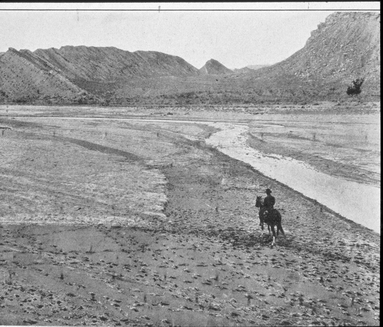
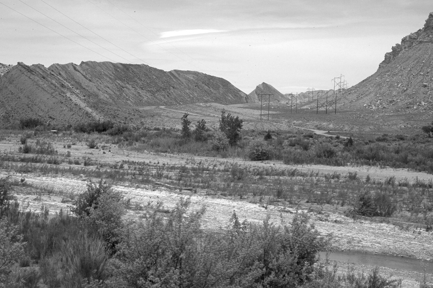
Paria River
1918
2004
Description:
Plate 454X. Paria River 1918 – 2004 Viewed north-northeast up the Paria River from just below its confluence with Cottonwood Creek. The ridge on the right is called The Cockscomb - - see plates 452x and 453x. The floodplain is more heavily vegetated today than it was in earlier times, despite continued livestock use. The area was actively being grazed by cattle in 2004. Cottonwoods, willows, and arrowwood have increased, as have tamarisk and Russian olive. An access road and powerline have been built. The three cottonwoods on the right edge of the 1918 image are still present.
Photo Information:
Original photograph taken by H.E. Gregory ca. 1918; retake by Charles E. Kay on May 16, 2004 - - Photo No. 5315-23. The original photograph was published as Plate 27A in Gregory and Moore (1931:154).
Vegetative Community:
Riparian
Location:
South West: Section 29, Range 1 West, Township 41 South; UTM 417700 E, 4119750 N; elevation 4,680 ft.