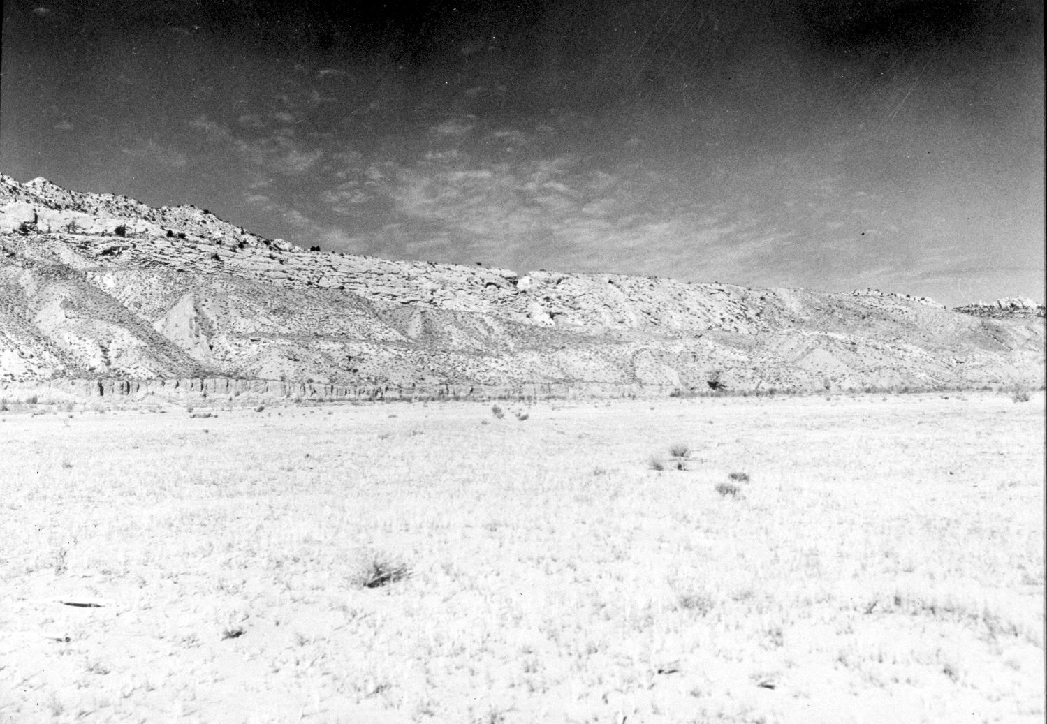
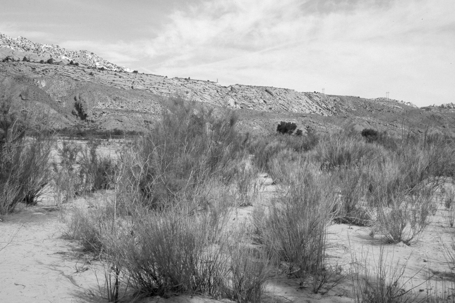
Paria River
1944
2004
Description:
Plate 450X. Paria River 1944 – 2004 Plates 446x to 450x form a panorama on the Paria River floodplain approximately one mile below its confluence with Cottonwood Creek. Plate 446x is viewed northwest. Despite yearly livestock use, the floodplain is more heavily vegetated today than in earlier times. Cottonwood and willows have increased, as has tamarisk, arrowwood, Russian olive, and rubber rabbitbrush. The area was actively being grazed by cattle in 2004.
Photo Information:
Original photograph taken by H.E. Gregory (No. 1216e) in 1944; retake by Charles E. Kay on May 16, 2004 - - Photo No. 5314-14. Original photograph held by the U.S. Geological Survey Photographic Library, Denver, CO.
Vegetative Community:
Riparian
Location:
South West: Section 29, Range 1 West, Township 41 South; UTM 417900 E, 4118400 N; elevation 4,600 ft.