Otter And Daniels Creeks
1925
2001
Description:
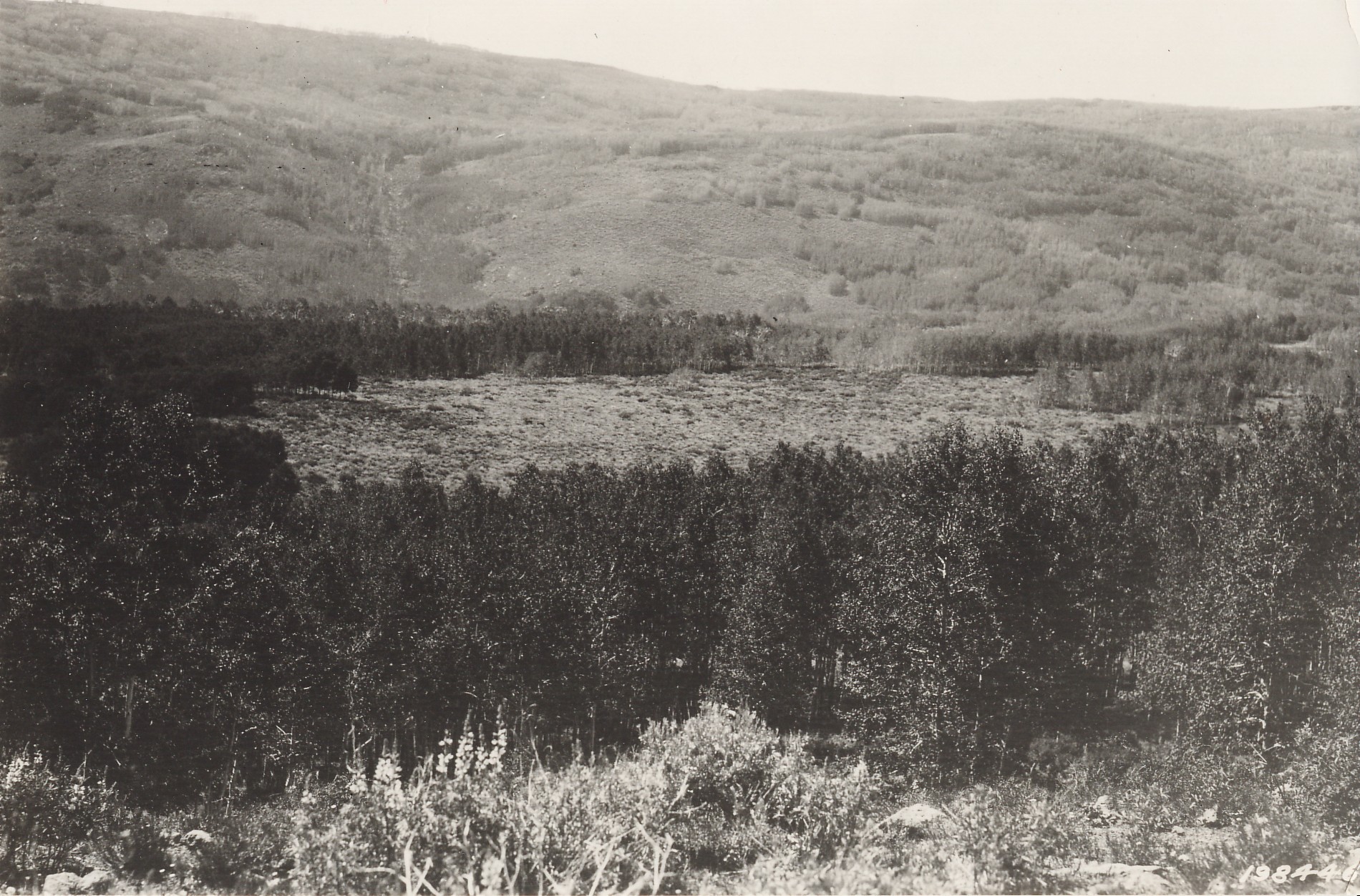
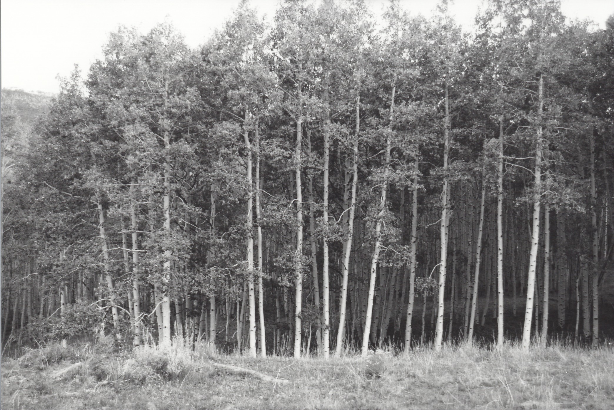
Plate 346. OTTER AND DANIELS CREEKS FISHLAKE PLATEAU 1925-2001 Plates 344 to 347 form a panorama across Daniels and Otter Creeks to Boobe Hole Mountain. All four photos were taken from the same camera station, which was found and reoccupied. Aspen in those retakes, however, has increased in height to such an extent that most of the original, distant views are now obscured. Thus, a second set of retakes was made from the closest open area. Unfortunately, however, the second camera station is about ½ mile northeast, and nearly 300 feet higher than the original. Nevertheless, the second retakes do show the distant areas now blocked from view at the original photopoint. Plate 346 is viewed west across Daniels and Otter Creeks to Boobe Hole Mountain. Sagebrush and lupine in the foreground appear to have declined. Aspen has increased in height and some clones have increased in size, but aspen has not regenerated in many years due to excessive herbivory by cattle, elk, and mule deer. Conifers have not invaded any of these aspen communities.
Photo Information:
Original camera station - - Section 12, Range 1 E, Township 25 S; UTM 435500 E, 4277850 N; elevation 9,060 ft. Second retake station - - Section 7, Range 2 E, Township 25 S; UTM 435700 E, 4278450 N, elevation 9,320 ft. U.S. Forest Service photo 198446 taken on June 27, 1925; retakes by Charles E. Kay on August 28, 2001 - - Photo Nos. 4882-33 and 4885-22. Original photos held by Utah State Historical Society, Reed W. Bailey Collection, Salt Lake City, UT.
Vegetative Community:
Aspen, Sagebrush
Location:
South Central