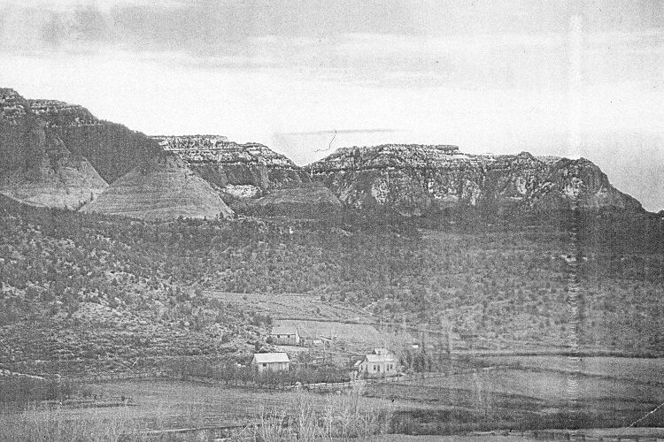
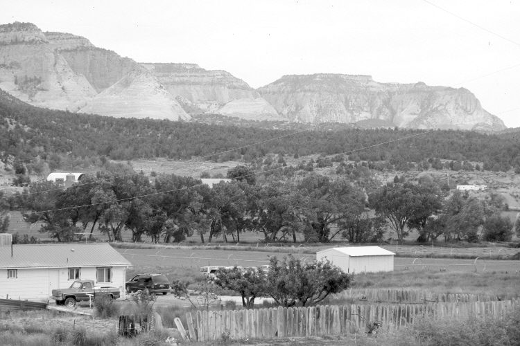
Orderville, Ut
1915
2005
Description:
Plate 893X. Orderville, UT 1915 – 2005 Viewed southeast to the Elkheart Cliffs east of Orderville, Utah. Cottonwoods have increased along the East Fork of the Virgin River. Pinyon and juniper have increased in the distance. The retake was made with an 85 mm lens.
Photo Information:
Original photograph taken ca. 1915; retake by Charles E. Kay on June 21, 2005 - - Photo No. 5463-23. Original photograph held by the Kanab Museum, Kanab, UT.
Vegetative Community:
Riparian, Pinyon, Juniper
Location:
South West: Section 4, Range 7 West, Township 41 South; UTM 354200 E, 4126350 N; elevation 5,460 ft.
January 2018