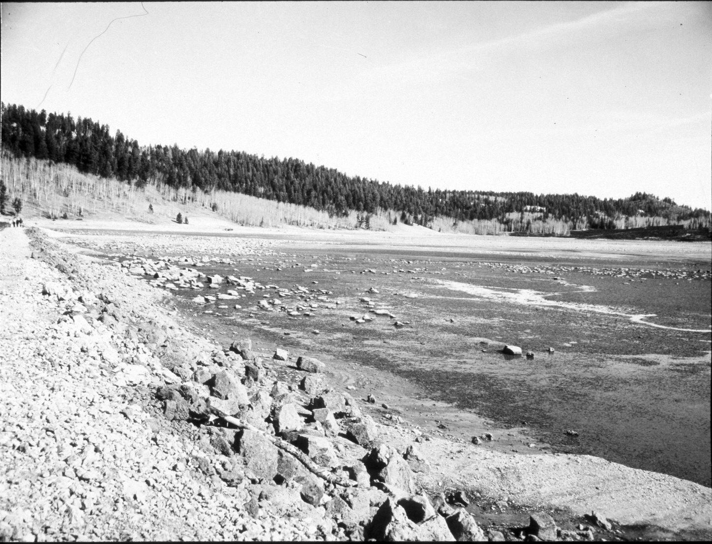
Navajo Lake
1939
2004
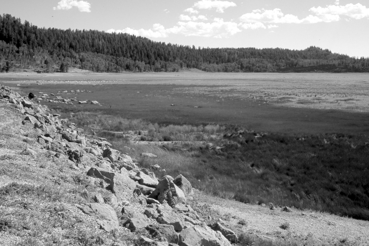
Description:
Plate 614X. Navajo Lake 1939 – 2004 Viewed northeast along the eastern edge of the dam on Navajo Lake. The initial image was made shortly after the dam had been rebuilt following its failure earlier in the year - - see Plates 612x and 613x. In the distance, ponderosa pine and Douglas fir have increased, while aspen has declined. The hill on the right skyline is the photopoint for Plate 634x.
Photo Information:
U.S. Forest Service photograph taken in May 1939; retake by Charles E. Kay on August 10, 2004 - - Photo No. 5383-27A. Original photograph held by Southern Utah University Archives and Special Collections, Cedar City, UT.
Vegetative Community:
Riparian, Conifer, Aspen
Location:
South West: Section 8, Range 8 West, Township 38 South; UTM 344175 E, 4153700 N; elevation 9,030 ft.
January 2018