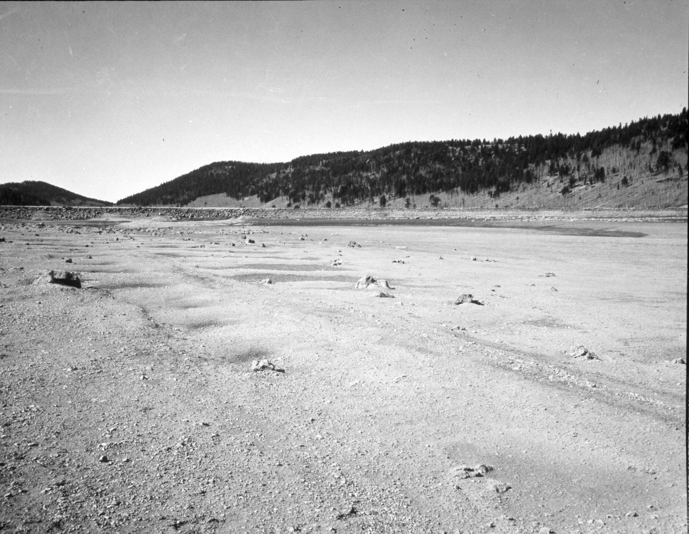
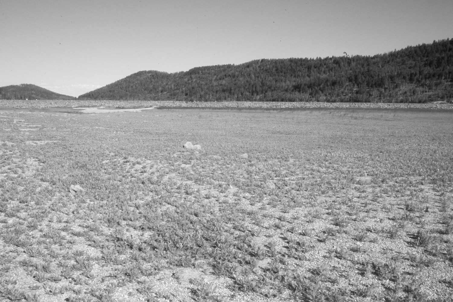
Navajo Lake
1939
2004
Description:
Plate 607X. Navajo Lake 1939 – 2004 Viewed west-northwest to the dam on Navajo Lake. Navajo Lake is a natural lake but a dam was built across its eastern portion to keep water from reaching the sink that drains the lake - - see Plate 608x. Thus in dry years, the dammed portion of the lake holds water instead of the entire lake being drained-out through the sink. The original image was made shortly after the dam was constructed and shows the unvegetated former lake bottom. Today, the only vegetation in the foreground is cinquefoil. In the distance, conifers have increased, while aspen has declined. Many mature spruce, however, have recently been killed by insects and disease. The dam has been rebuilt - - see Plate 612x.
Photo Information:
U.S. Forest Service photograph taken in May 1939; retake by Charles E. Kay on August 10, 2004 - - Photo No. 5383-7A. Original photograph held by Southern Utah University Archives and Special Collections, Cedar City, UT.
Vegetative Community:
Riparian, Conifer, Aspen
Location:
South West: Section 8, Range 8 West, Township 38 South; UTM 344500 E, 4153700 N; elevation 9,030 ft.