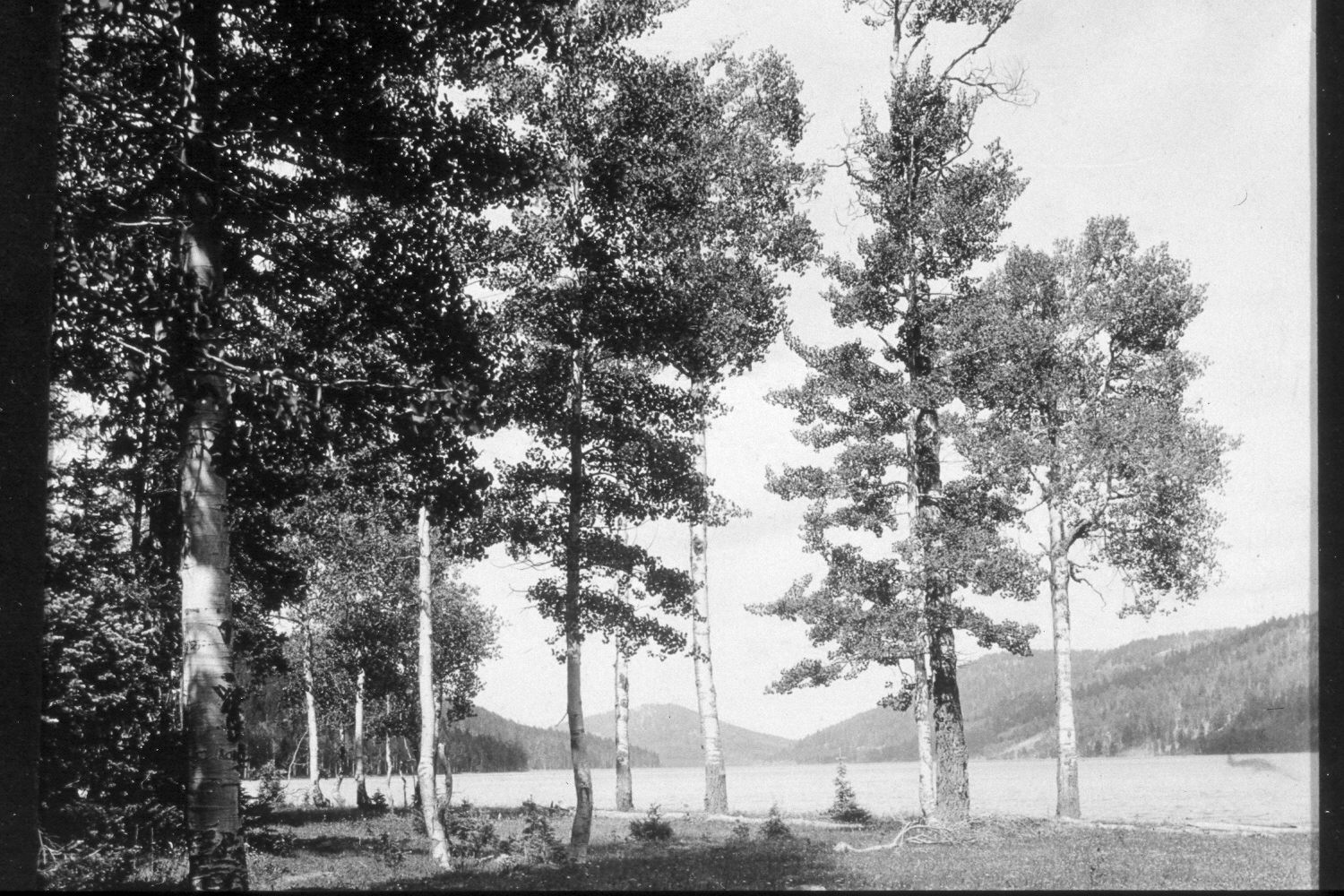
Navajo Lake
1934
2004
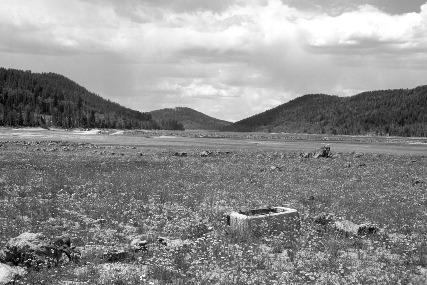
Description:
Plate 625X. Navajo Lake 1934 – 2004 Viewed west-northwest from the eastern end of Navajo Lake. The 1934 image was made before the dam across the lake was constructed - - see Plates 607x and 634x. The area in the foreground was once a recreation area, but during the wet years of the early 1980’s, the lake level rose and flooded-out the site - - see Plates 620x, 622x, 623x, and 624x. The campsite has since been abandoned. In the foreground of the recent photo is a concrete fire-grill from the old campground. Navajo Lake dam is visible in the retake. Aspen in the foreground was killed by the flooding. In the distance, spruce, ponderosa pine, white fir, and Douglas fir have all increased, while aspen has declined. Many spruce, however, have recently been killed by insects and disease.
Photo Information:
U.S. Forest Service photograph taken ca. 1934; retake by Charles E. Kay on August 10, 2004 - - Photo No. 5386-27. Original photograph held by Southern Utah University Archives and Special Collections, Cedar City, UT.
Vegetative Community:
Riparian, Conifer, Aspen
Location:
South West: Section 9, Range 8 West, Township 38 South; UTM 344900 E, 4153600 N; elevation 9,060 ft.