Mill Meadow Reservoir
1962
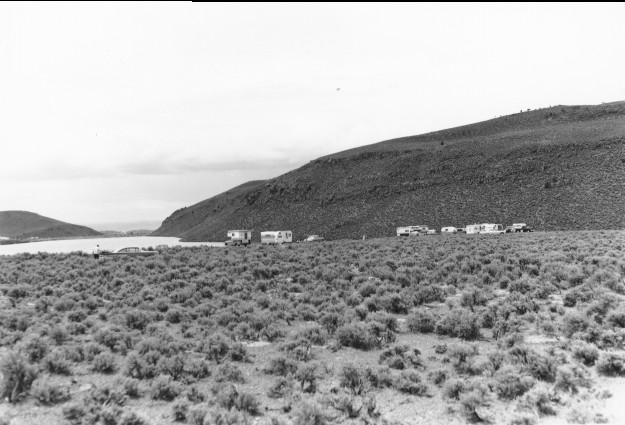
1999
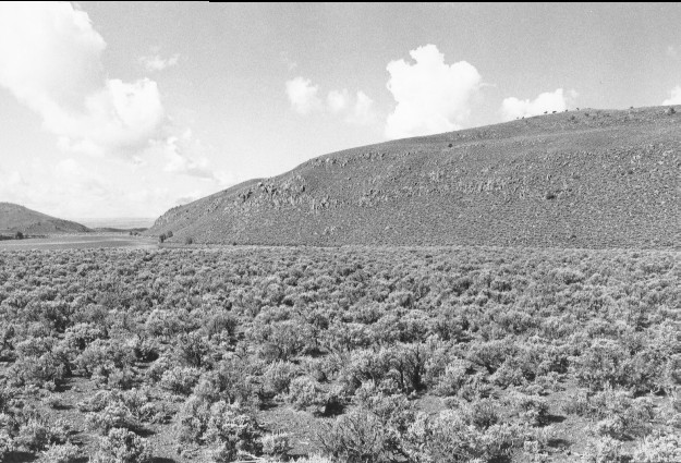
Description:
Plate 75. MILL MEADOW RESERVOIR: 1962 - 1999 This is the same photo point as Plate 75, but in a different direction. Note the dam at the far end of the reservoir in the 1999 photo and the scattered cottonwoods (Populus sp.) that line the shore. Sagebrush (Artemisia tridentata) appears to have increased in both density and canopy cover throughout the foreground during the intervening years.
Photo Information:
1962 photo taken by the U.S. Forest Service; 1999 photo is Kay #4459-19, taken on Aug. 11. Forest Service photo held by the Loa Ranger District, Loa, UT
Vegetative Community:
Sagebrush, Riparian
Location:
South Central: Fishlake National Forest, Loa Ranger District, T26S, R3E, Sect. 34, UTM 4261800 N, 451000 E; elevation 7,720 ft., viewed to south.
January 2018