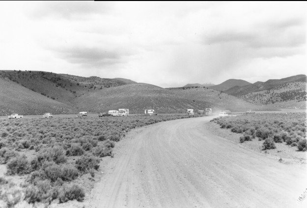
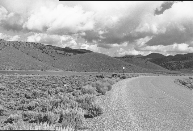
Mill Meadow Reservoir
1962
1999
Description:
Plate 74. MILL MEADOW RESERVOIR: 1962 - 1999 Utah Highway 25 is paved in the 1999 photo and a few more cottonwoods (Populus sp.) grow along the shoreline. Pinyon (Pinus edulis) and juniper (Juniperus sp.) are more apparent on the distant slopes in 1999. The area around the reservoir is grazed by both cattle and domestic sheep.
Photo Information:
1962 photo taken by the U.S. Forest Service; 1999 photo is Kay #4459-14, taken on Aug. 11. Forest Service photo held by the Loa Ranger District, Loa, UT
Vegetative Community:
Riparian, Pinyon, Juniper, Sagebrush
Location:
South Central: Fishlake National Forest, Loa Ranger District, T26S, R3E, Sect. 34, UTM 4261800 N, 451000 E; elevation 7,720 ft., viewed northwest.
January 2018