Mill Meadow Reservoir
1962
1999
Description:
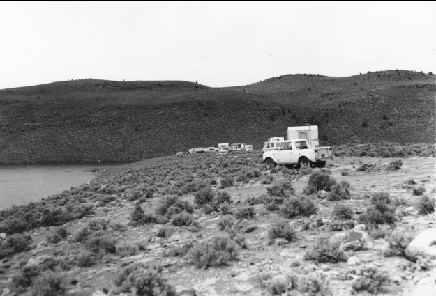
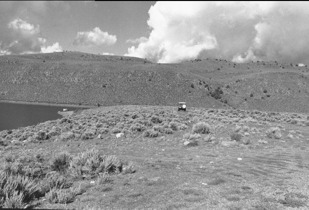
Plate 73. MILL MEADOW RESERVOIR: 1962 - 1999 This photo point is approximately 100 feet east of that for Plate 72. The foreground has been disturbed by reservoir access and random camping, otherwise there is little apparent change.
Photo Information:
1962 photo taken by the U.S. Forest Service; 1999 photo is Kay #4459-9, taken on Aug. 11. Forest Service photo held by the Loa Ranger District, Loa, UT
Vegetative Community:
Riparian, Sagebrush
Location:
South Central: Fishlake National Forest, Loa Ranger District, T26S, R3E, Sect. 34, UTM 4261800 N, 450975 E; elevation 7,720 ft., viewed west.
January 2018